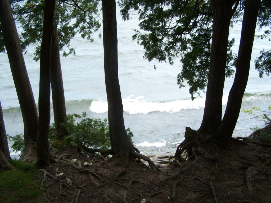
Waves Crash Through Trees
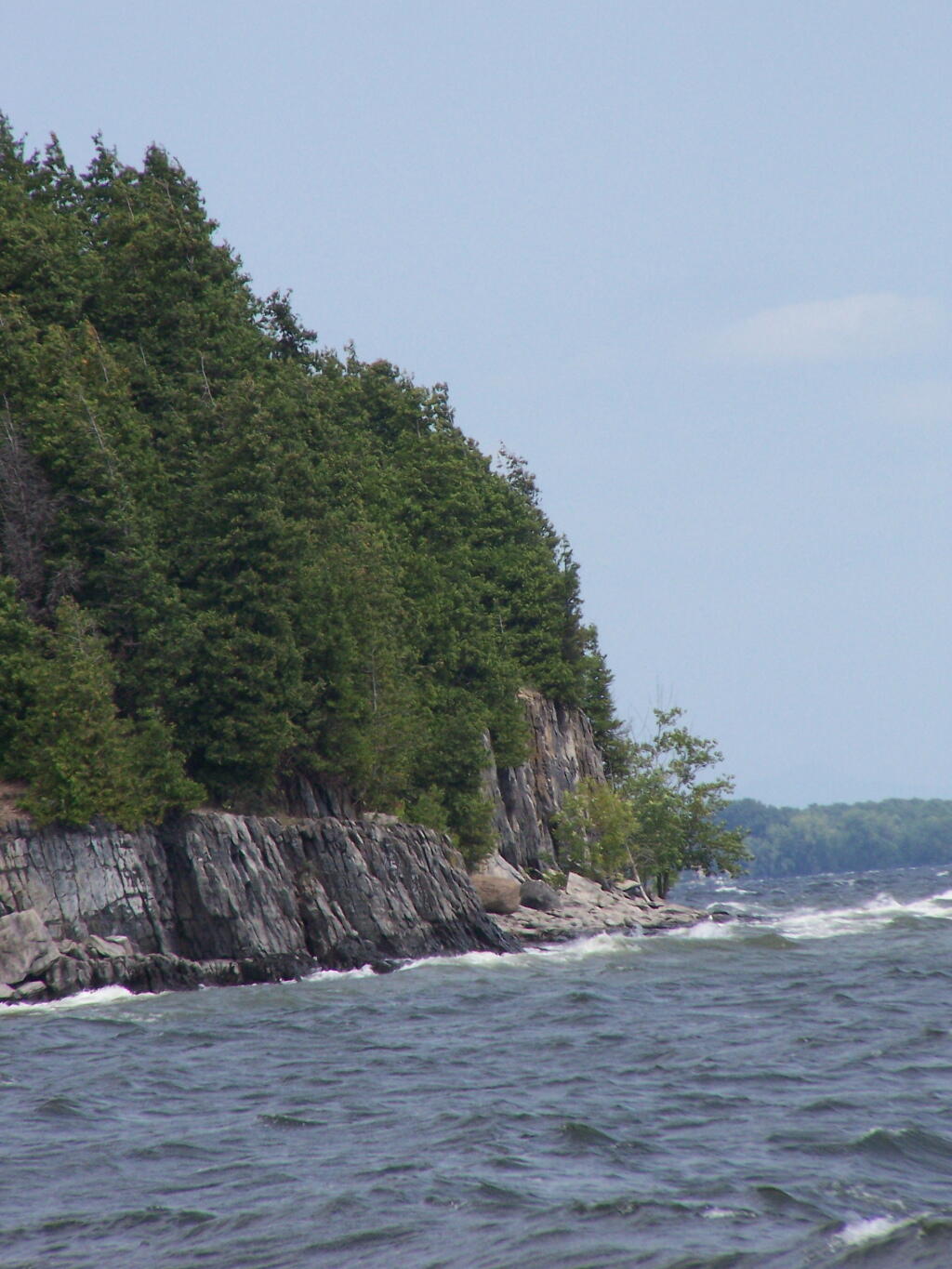
The waves crash onto the bank, below off the cliff into Connor Bay.
Sunday August 15, 2010 — Point Au Roche

The waves crash onto the bank, below off the cliff into Connor Bay.
Sunday August 15, 2010 — Point Au Roche

I decided to next hike over to Middle Point. While it was cloudy and windy, just sitting up here, reminded me of times past in college.
Sunday August 15, 2010 — Point Au Roche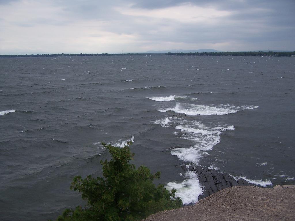

Rams Head is not marked on the maps, but is signed as such up there.
Sunday August 15, 2010 — Point Au Roche