Plat Maps – City of Rochester 1888
This is a mosaic of 37 scanned and georeferenced plat maps of the City of Rochester, NY, from 1888. Citation: Robinson's Atlas of the City of Rochester, Monroe County, New York, 1888.
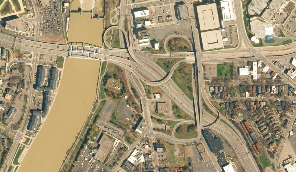
The Interchange between the Inner Loop (now Howell Street) and I-390 and other surface streets is a complicated and twisty one, in part because the interchange has changed several times over the past 60 years as traffic patterns changed and parts of the Rochester Interstate system were built out.
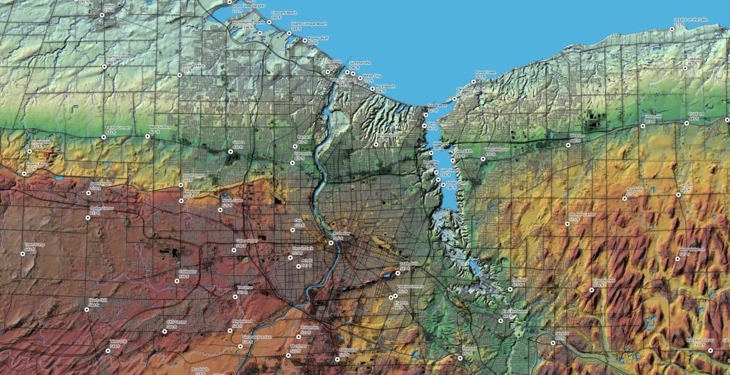
Tuesday May 22, 2018 — Monroe County — Rush Oak Openings Unique Area 🗺By the time you get east to Rochester the Niagara Escarpment is not nearly as pronounced, although it certainly exists in the terrain when you look at a map.