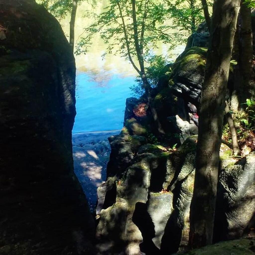
Carving


Sometimes when I walk around the Potholers I have to think what they must have looked like originally with all the water flowing down them.
Saturday September 21, 2019 — Moss Island — Moss Island 🗺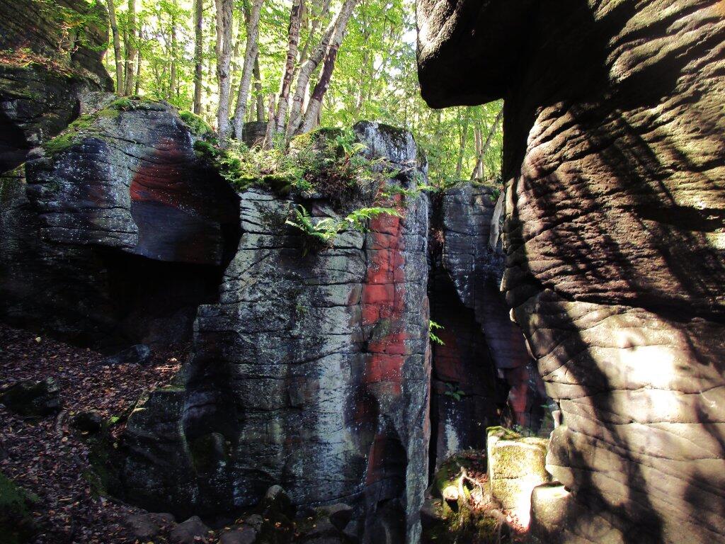

From the Dolgeville Overlook.
Saturday August 25, 2018 — Little Falls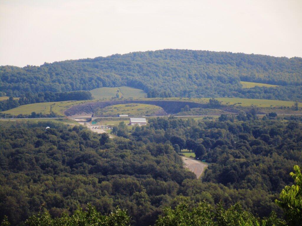

Perched on a vantage point overlooking the Mohawk River, stands a grand mansion in the Georgian style, once the residence of General Nicholas Herkimer. This colonial frontier abode was meticulously constructed and completed circa 1764. General Herkimer etched his name in history during the pivotal year of 1777, when he rallied 800 militiamen alongside 60 Oneida warriors, marching resolutely to safeguard Fort Stanwix against a British siege.
The Battle of Oriskany, waged on August 6, 1777, marked a turning point in the Revolutionary War. It is recounted as one of the war's most harrowing conflicts, characterized by its intense bloodshed. Despite suffering a leg injury, Herkimer maintained steadfast command throughout the ferocious engagement. Following the battle, he was transported to his abode, where he succumbed to complications arising from the eventual amputation of his leg, ten days later.
Over the years, Herkimer's estate hosted a diverse array of inhabitants. This included his own family, enslaved individuals who contributed to the estate's operations, wartime encamped soldiers, and neighbors seeking sanctuary from the turmoil in the Mohawk Valley. The 19th century witnessed transformative changes on the property, as it bore witness to the passage of both the Erie Canal and subsequently the railroad, altering its landscape.
In the present day, easy access is granted to the site via highway, river, or the Canalway Trail. Visitors are extended a warm invitation to explore the mansion, engage with the exhibits in the visitor center, and wander the grounds. Here, they can discover the final resting place of General Herkimer, a meticulously recreated kitchen garden, vestiges of an Erie Canal lock, and picturesque vistas overlooking the serene Mohawk River.

Just paddling along past Finks Basin, east of Lock 17.