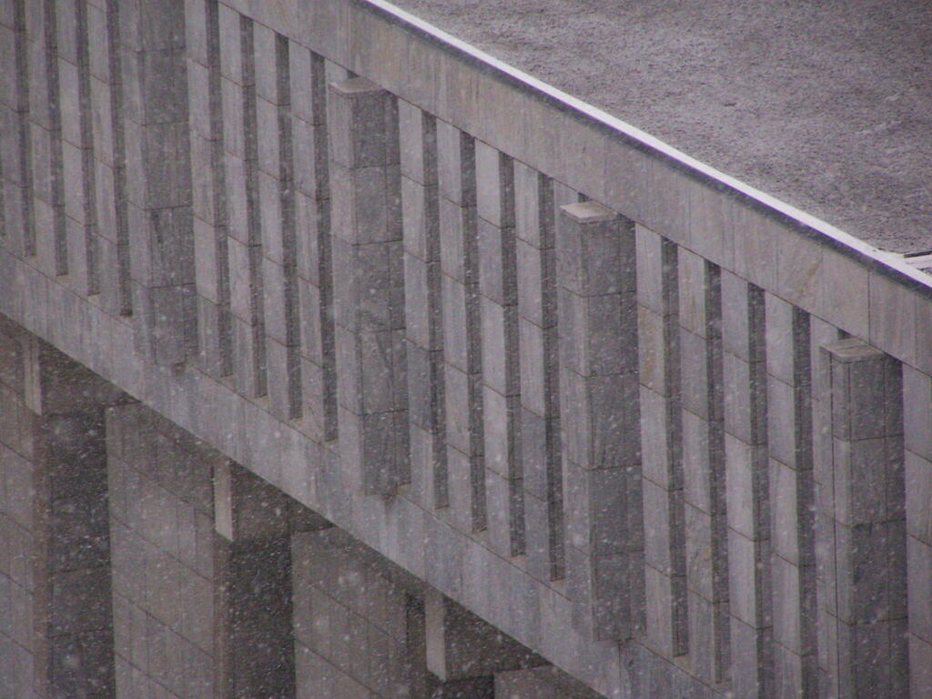
Snow Capitol



Looking down at the Legislative Office Building from the Alfred E Smith Building in 2008, after the big ice storm of December 2008 covered everything with ice.
Friday December 12, 2008 — Ice Storm 2008