Southern End of Washbowl
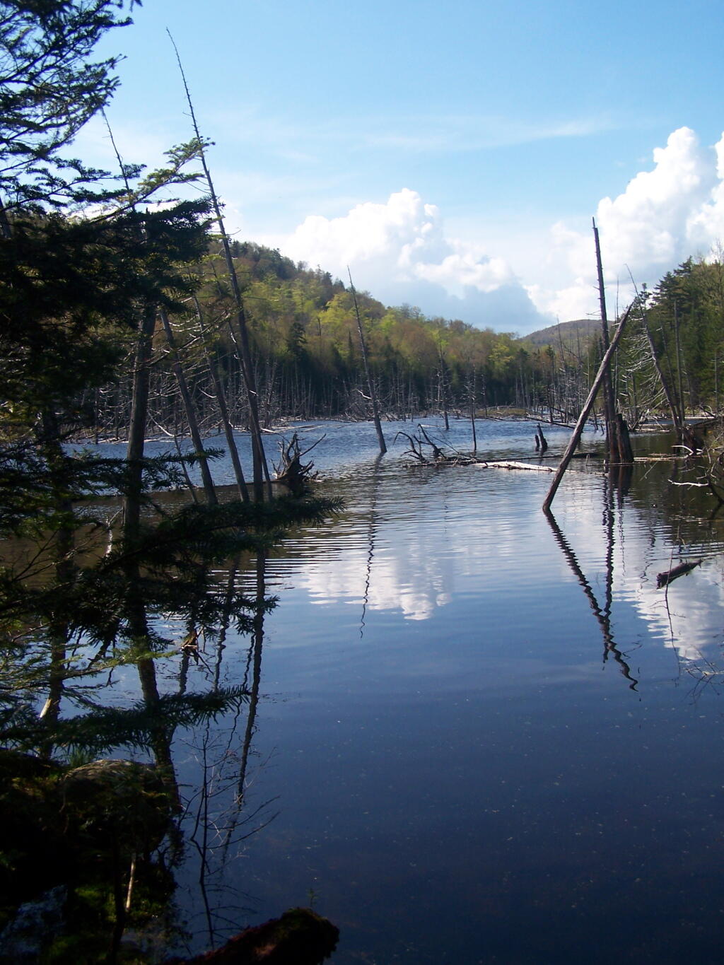
It's pretty marshy and shallow at the one end of the Wash Bowl.
Sunday July 11, 2010 — Giant Mountain — Giant Mountain 🗺

It's pretty marshy and shallow at the one end of the Wash Bowl.
Sunday July 11, 2010 — Giant Mountain — Giant Mountain 🗺

Corey’s Road Campsites are located in the High Peaks Wilderness, south of Upper Saranac Lake. These campsites are accessible via Coreys Road, a dirt road that provides vehicle access to the campsites and hiking trails.
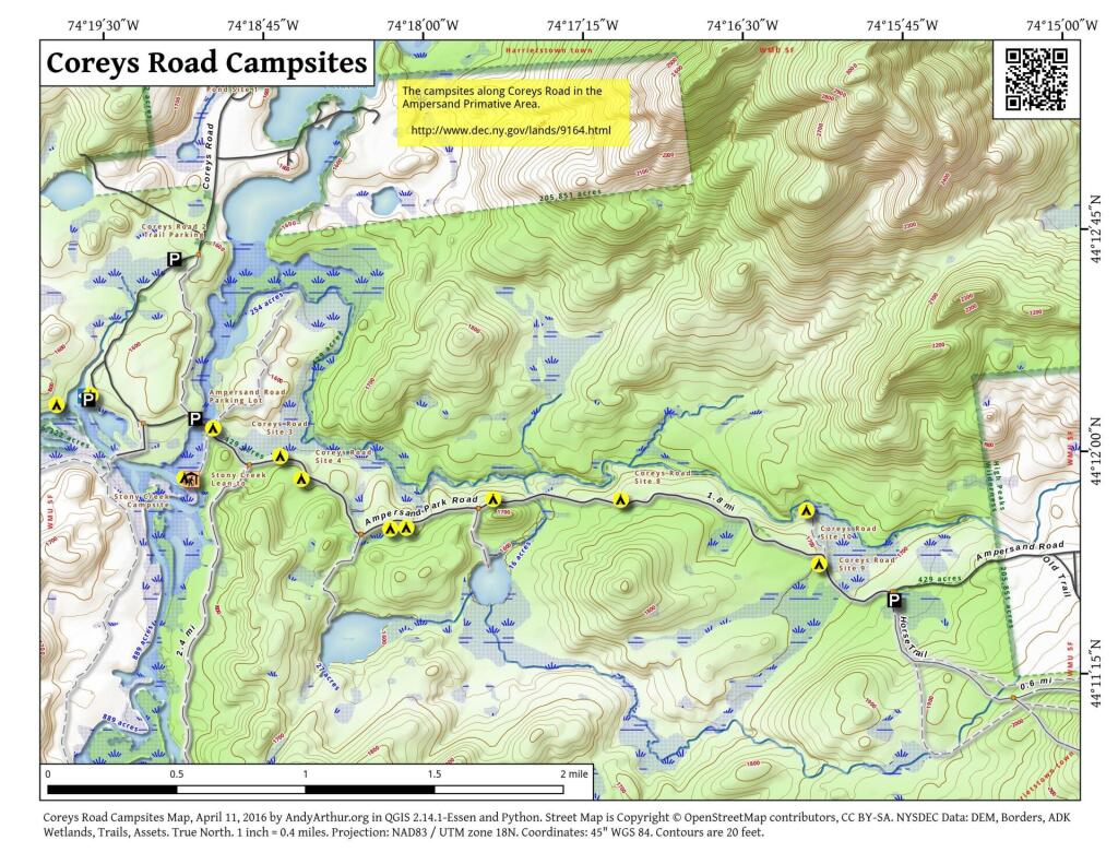
| Corey’s Road Campsite GPS Locations | ||
| Campsite | Lat | Lng |
|---|---|---|
| Coreys Road Site 2 | 44.20166 | -74.31658 |
| Coreys Road Site 3 | 44.20005 | -74.31134 |
| Coreys Road Site 4 | 44.19876 | -74.30970 |
| Coreys Road Site 5 | 44.19592 | -74.30278 |
| Coreys Road Site 6 | 44.19597 | -74.30154 |
| Coreys Road Site 7 | 44.19754 | -74.29472 |
| Coreys Road Site 8 | 44.19745 | -74.28476 |
| Coreys Road Site 9 | 44.19372 | -74.26928 |
| Coreys Road Site 10 | 44.19676 | -74.27024 |
| Axton Landing Campsite | 44.20358 | -74.32614 |
Historical topopgraphic maps show the area as it once was around Mount Adams.

Again, taken from the road up the tailings pile.
Saturday May 21, 2011 — Tahawus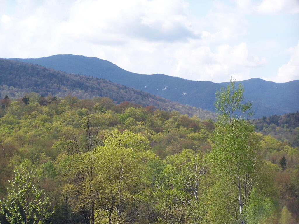

Along the trail to Lake Colden and ultimately the High Peaks of the Adirondacks.
Saturday May 21, 2011 — Tahawus