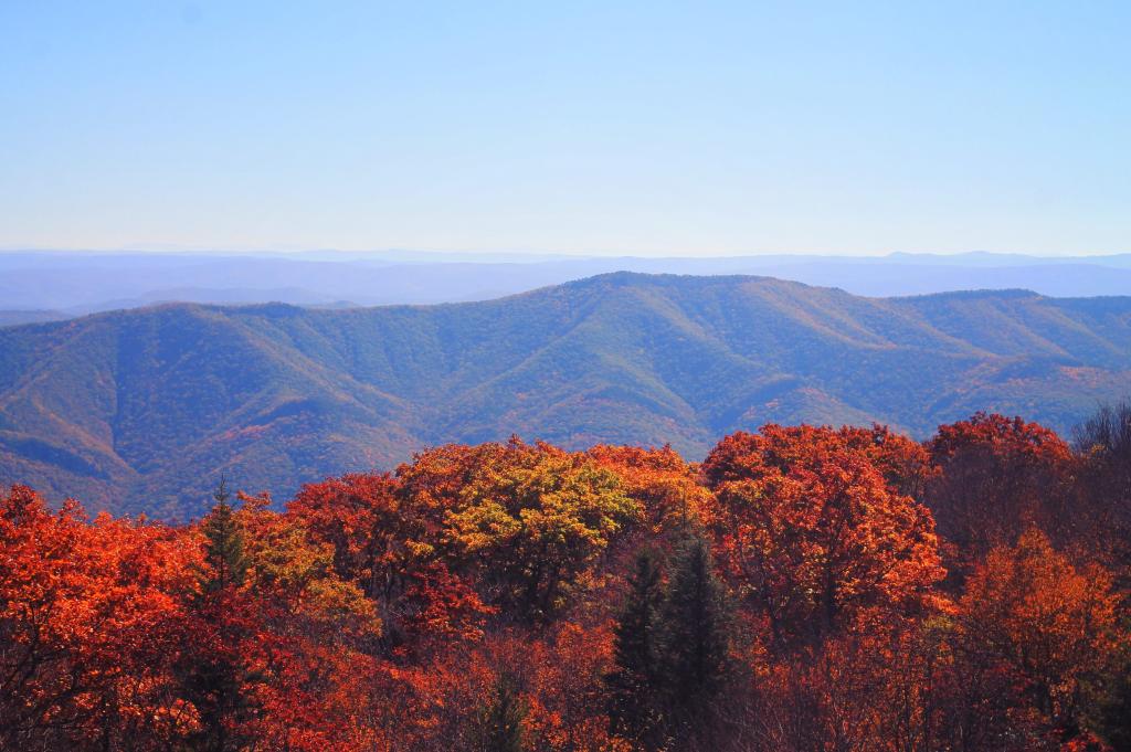
Hills Of Northern West Virignia
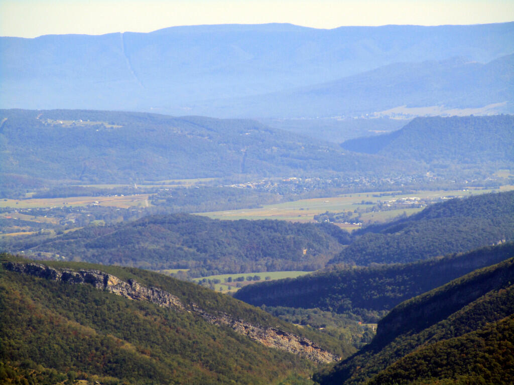
North Fork Gap and other mountains looking east as far as Shendandoah Mountain and the Viriginia State line.
Friday October 11, 2019 — Dolly Sods Wilderness — Dolly Sods Wilderness Trails 🗺
North Fork Gap and other mountains looking east as far as Shendandoah Mountain and the Viriginia State line.
Friday October 11, 2019 — Dolly Sods Wilderness — Dolly Sods Wilderness Trails 🗺

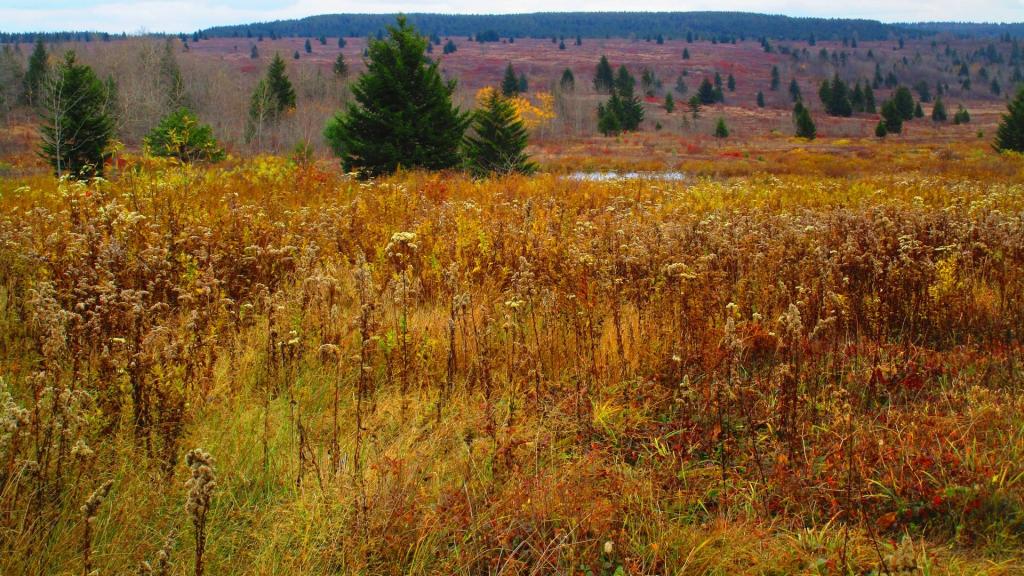

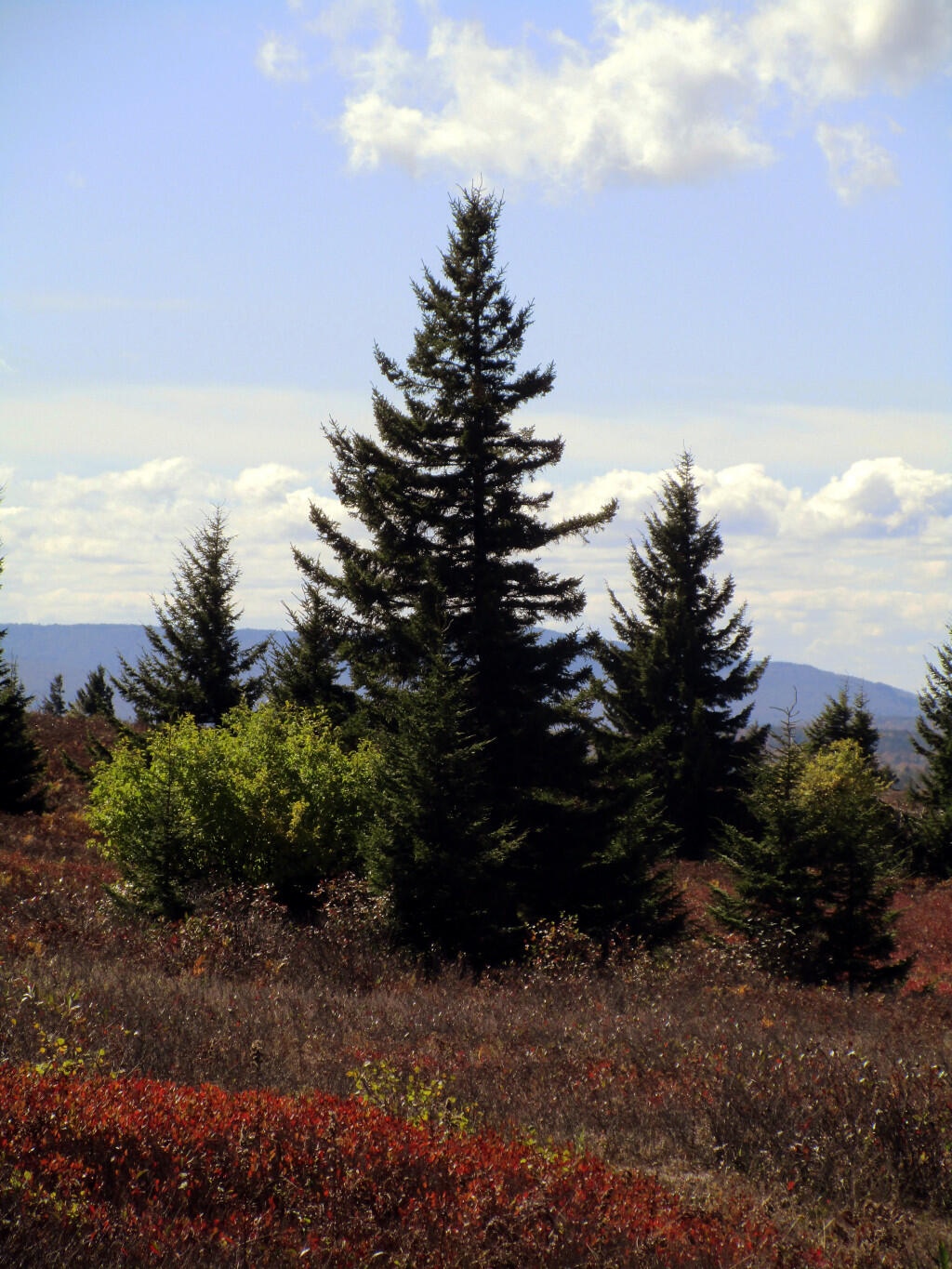
Pines intermix with the blueberry bushes and other open lands of Dolly Sods.
Friday October 11, 2019 — Dolly Sods Wilderness — Dolly Sods Wilderness Trails 🗺