Lovers Leap


The notch gets quite narrow but they manage to get a rail line, a tow path and road in there, and some businesses in wider parts of the notch.
Sunday October 22, 2023 — Great Allegheny Passage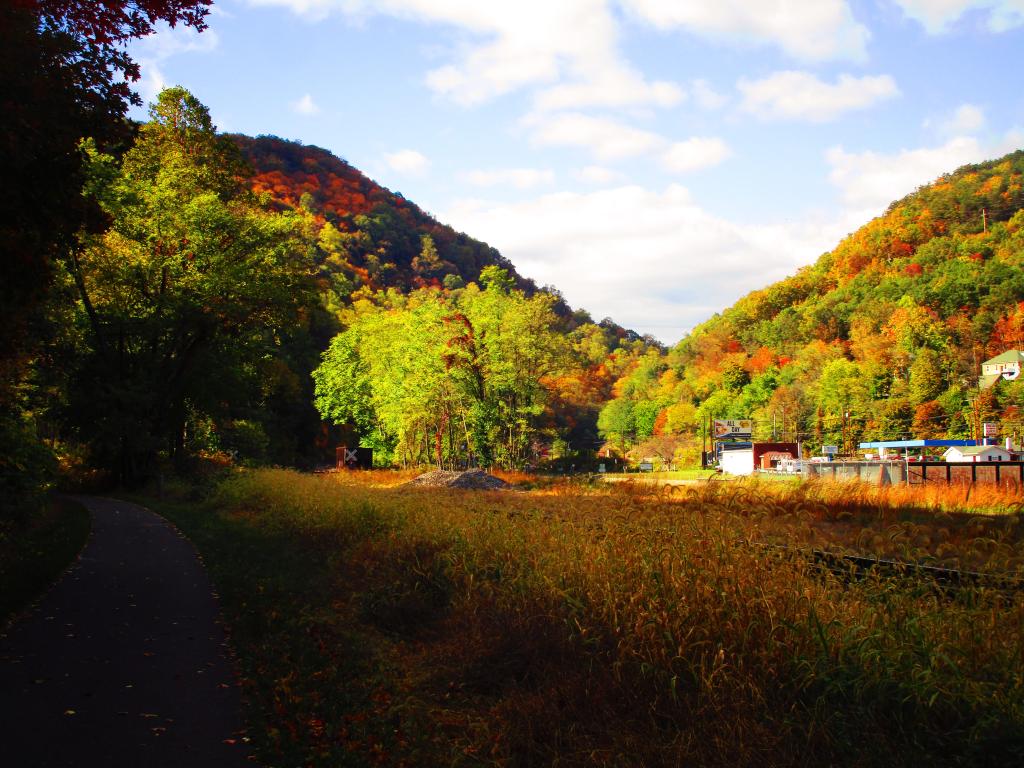

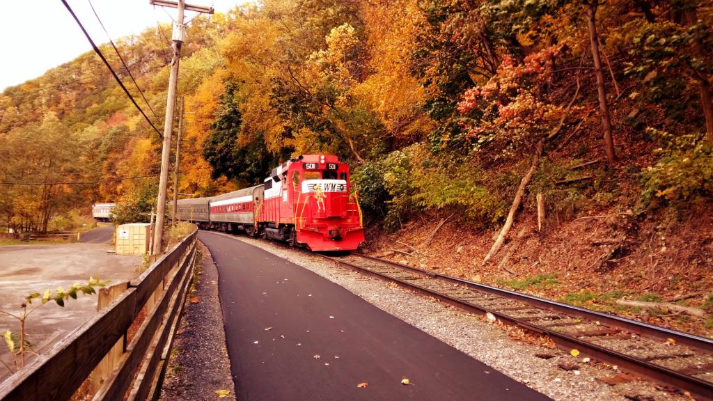
It was cool to be so close when the tourist train passed by a very low speed right along the rail trail.
Sunday October 22, 2023 — Great Allegheny Passage