Charles Baker State Forest 📍

Charles Baker State Forest is named after the first District Forester who administered it. This property totals over 9,400 acres in southeast Madison County and makes up the core area for the Brookfield Trail System. This highly acclaimed horse and snowmobile trail system has over 130 miles of trails set throughout three state forests (Charles Baker State Forest, Brookfield Railroad State Forest, and Beaver Creek State Forest) that make up the Brookfield unit management area. These three forests collectively provide 13,750 acres of public reforestation lands for multiple recreation purposes.

http://www.dec.ny.gov/lands/8225.html

🗺️ Maps 🖼️ Photos 📽️ Videos
Map: Green Mountain National Forest North

Evergreen Pond Leanto

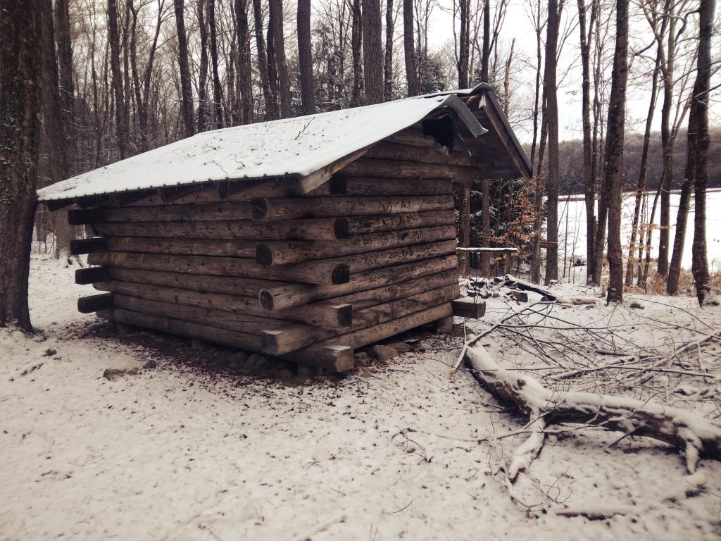
The Evergreen Pond Leanto at Charles Baker State Forest. The roof of the lean-to has some damage from a tree branch that struck it, although inside it's mostly intact. There is an outhouse on site, along with horse tie downs.

Sunday January 15, 2023 — Charles Baker State Forest
Map: Debar Pond
Terrain Map: Heldebergs
Map: Shelving Rock Road and Dacy Clearing Road
Thematic Map: Wetlands of Albany County
Map: South Mountain State Forest
Terrain Map: Otselic Valley