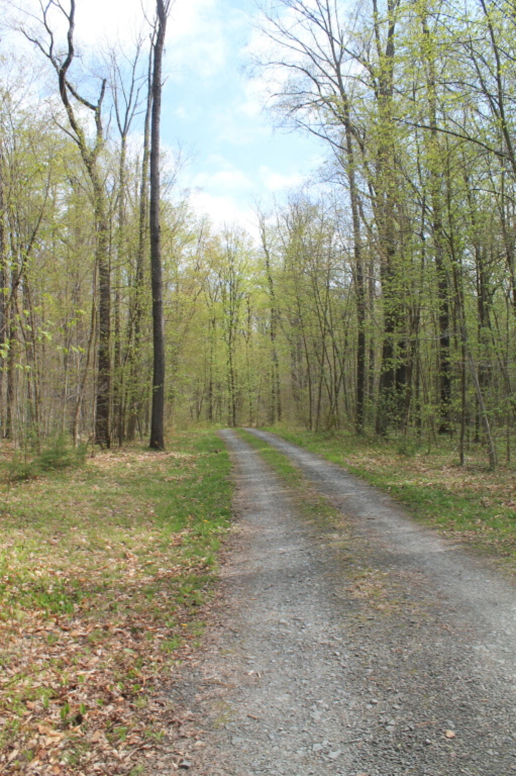
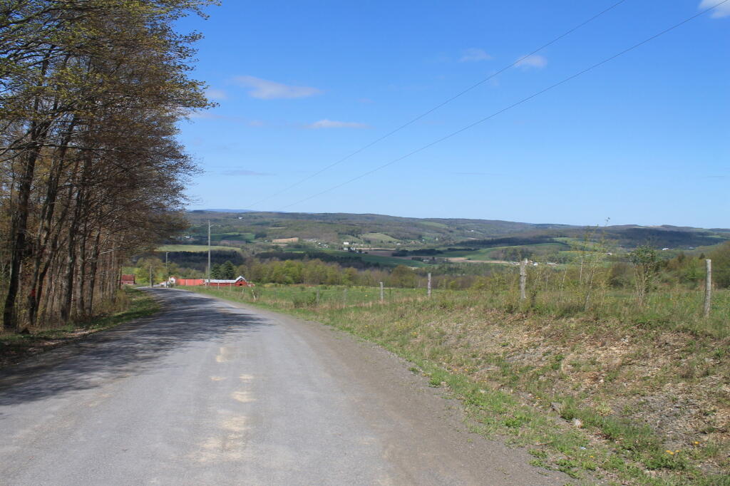
Charles Baker State Forest is named after the first District Forester who administered it. This property totals over 9,400 acres in southeast Madison County and makes up the core area for the Brookfield Trail System. This highly acclaimed horse and snowmobile trail system has over 130 miles of trails set throughout three state forests (Charles Baker State Forest, Brookfield Railroad State Forest, and Beaver Creek State Forest) that make up the Brookfield unit management area. These three forests collectively provide 13,750 acres of public reforestation lands for multiple recreation purposes.