A series of maps showing the route of the Catskill Scenic Trail, overlaid on USGS Topographic Maps.
[scribd id=642059134 key=key-RM8TxhRusxkl94rfsPRM mode=scroll]

A series of maps showing the route of the Catskill Scenic Trail, overlaid on USGS Topographic Maps.
[scribd id=642059134 key=key-RM8TxhRusxkl94rfsPRM mode=scroll]
Never does it leave the NY 30 corridor by any distance, but a few parts are very close especially in the deeper parts of the notch and as you get down by Hubbells Corners.
Saturday September 11, 2021 — Catskill Scenic Trail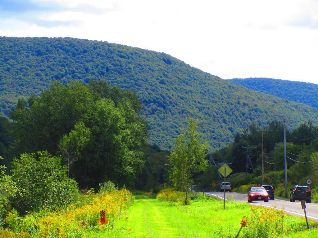



Just past Ferris Hill Road, the rail trail is always swampy as it's near the headwaters of the East Branch Delaware River.
Saturday September 11, 2021 — Catskill Scenic Trail