Catskill Mountains 📍

🗺️ Maps 🖼️ Photos 📽️ Videos

Long Path Intersections with Roads

One of the challenges is to find places where the Long Path leaves the public roads. Using OpenStreetMap data I created a line intersection of the Long Path against public roads, then with some hand editing made sure only to include off-road trail sections when they meet public roads. Then I ran it against the state's reverse geocoding service to add street addresses so you can use it with your phone or car GPS.

Map: Slader Creek State Forest

Devil’s Path Hiking Trail

The Devil's Path is a hiking trail in the Greene County section of the Catskill Mountains, sometimes described as one of the more challenging trails. It extends 24.2 miles, gaining 9,000 feet over seven peaks, a low of 2,220 ft at Stoney Clove Notch between Hunter and Plateau Mountains and a high of 3,800 feet on West Kill Mountain.

Terrain Map: Lands Above 3,500 feet on the East Coast

Lexington

Heading through the village of Lexington in the Catskills.

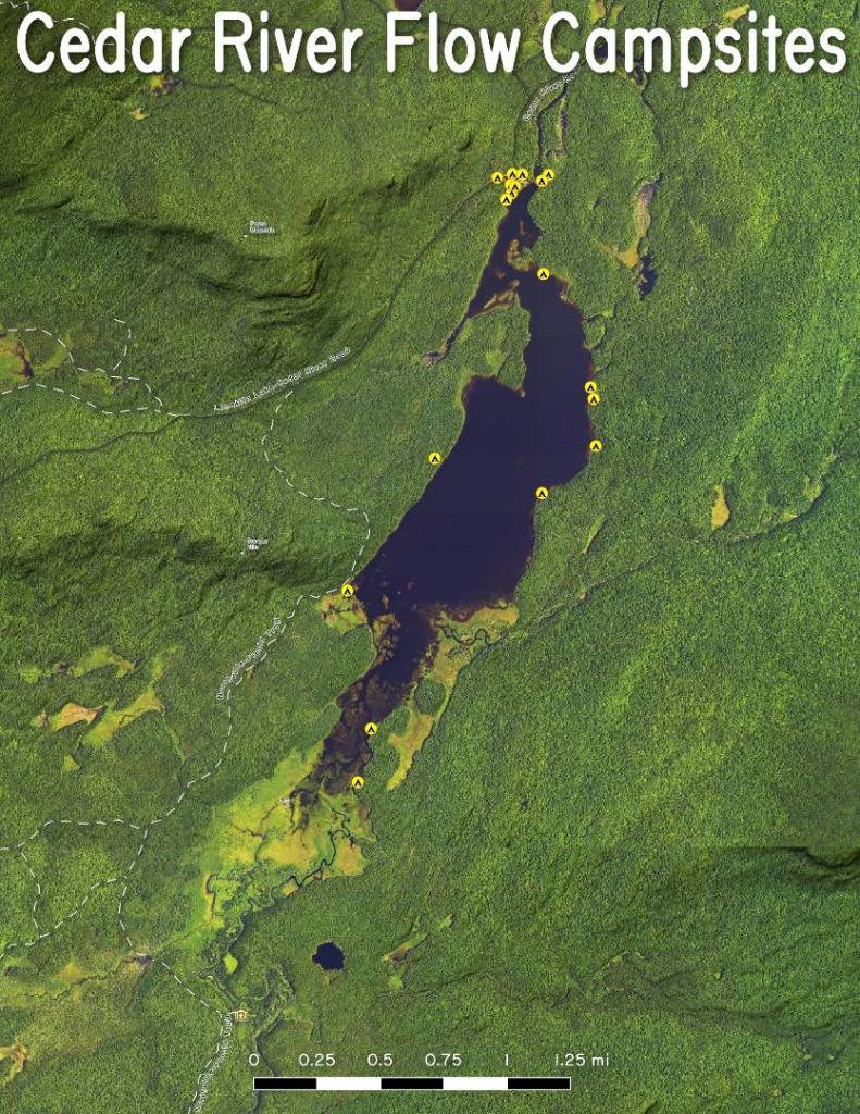
Thematic Map: Cedar River Flow Campsites
Thematic Map: Agriculture in New York
SVGZ Graphic: NOAA Temperature Outlook [Expires September 9 2026]