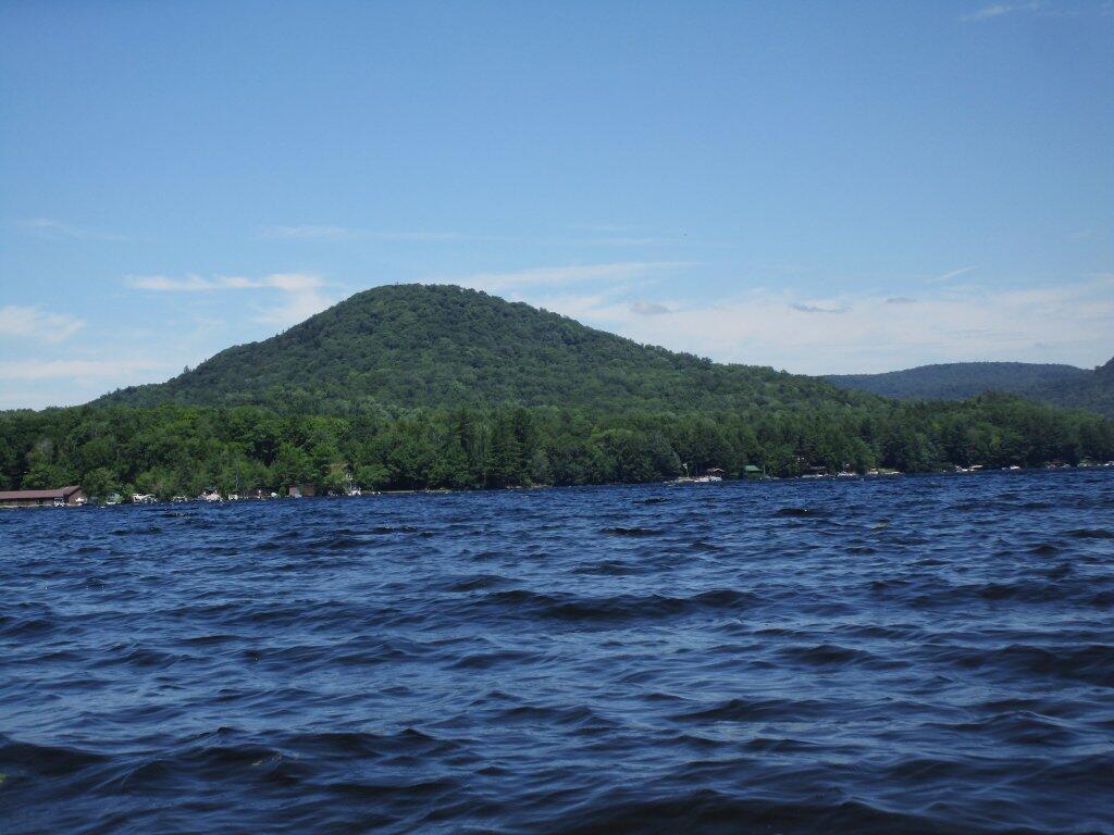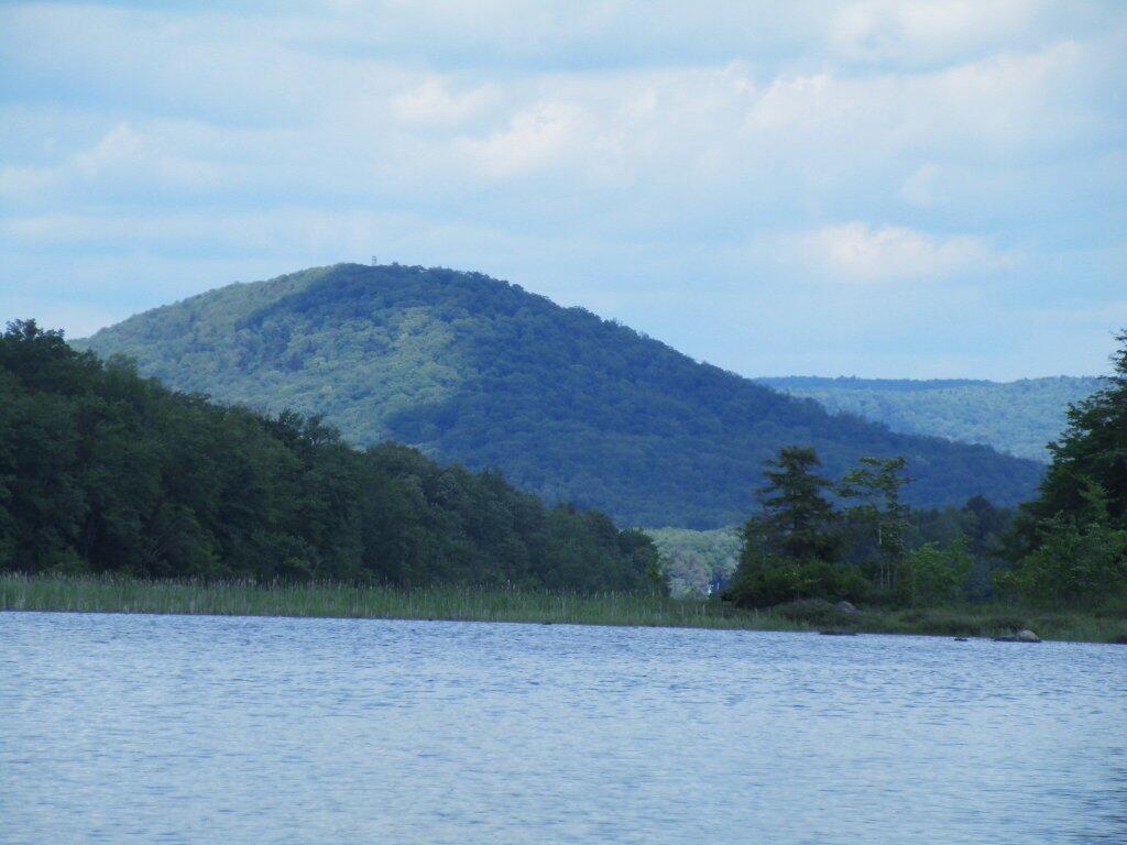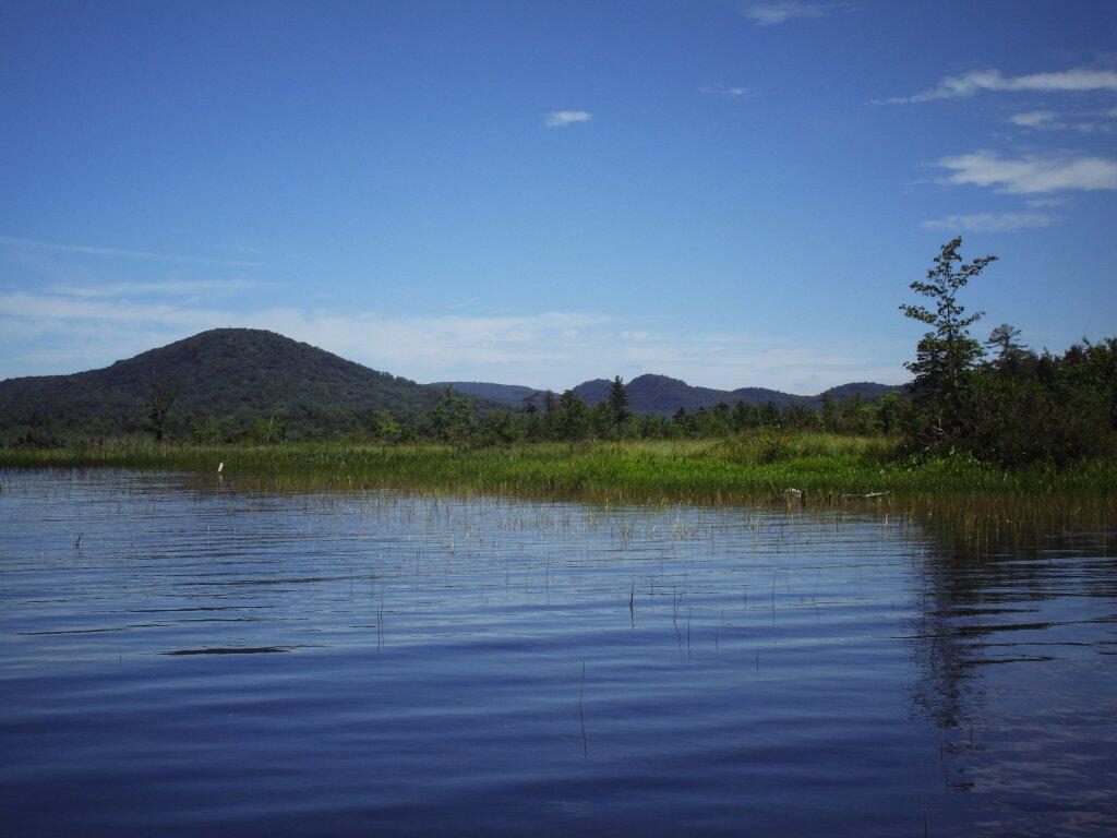
Kane Mountain


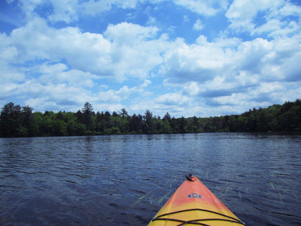

With the water down for the winter, it’s easy to imagine the channel as the Mohawks of the Haudenosaunee Confederacy once saw it. Though the current dam on Stewarts Landing determines the summer level of the water, the top of the upstream rapids appearing when the level goes down is the determining factor for the winter level. This waterway was suitable for canoeing long before any dams were constructed.
What we call Stewarts Landing is the 2 mile stretch of flat water carrying the outflow of Canada and Lily Lakes to a concrete dam. Once called Fish Creek, the stream through and below Stewarts Landing is currently known as Sprite Creek. Below the dam, the unnavigable rocky stream flows into East Canada Creek, which joins the Mohawk and then Hudson Rivers.