Canada Lake 📍

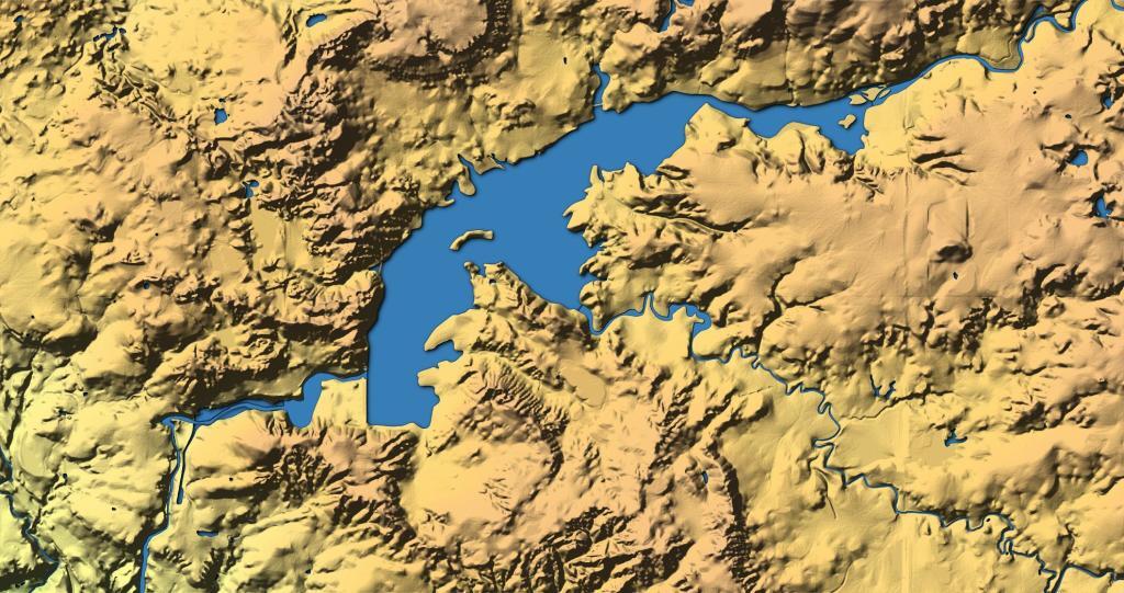
Enjoy the flatwater paddling of Canada Lake. Canada Lake connects to Green Lake, Lily Lake, West Lake, and Stewart’s Landing. Canada Lake can be accessed at the West Lake launch or from Stewarts Landing Dam. For those canoeing or kayaking, starting at Stewarts Landing may be more desirable, as the lake is narrowest, and provides roughly 4 miles of paddling through twisting narrows with limited motor boat traffic and fewer waves.

🖼️ Photos 📽️ Videos
Map: Green Mountain National Forest North

Lilly Lake

Paddling along Lilly Lake on a beautiful spring afternoon. Listening to the sounds of the birds and wind as passes by.

Map: Empire State Topography
Map: Oakley Corners State Forest
Thematic Map: Byrne Dairy Locations in New York
Map: Wakely Mountain Firetower Views
Map: Empire State Topography

Stewart Landing Campsites 🏕️

The Stewart Landing Campsites are tucked on a rough and often muddy dirt road, a little ways back from Stewart Landing Road. Look for a driveway and a markers showing the route to campsites. The DEC has improved the road somewhat in recent years.

CampsiteLatitudeLongitude
Stewart Landing #143.143107567736-74.5960777933815
Stewart Landing #243.1428427379704-74.5963644011855

Untitled [Expires June 24 2024]

But still they’re not a bad place to be, especially if your planning on doing some hiking or paddling on West Canada Lake.

Lazy day

And in the spring when I was there, it was pretty quiet.

But I’m sure on a nice day like this one there would be a lot more people up there.

 Clearing At Stewart Landing