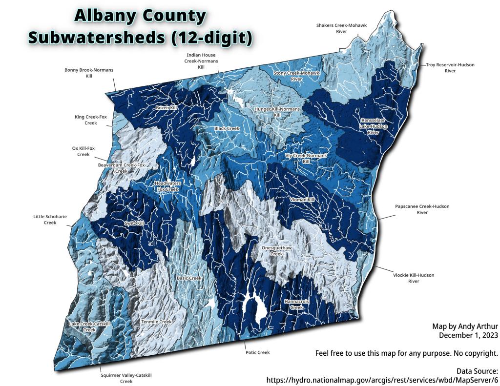
Albany County, NY Sub-watersheds
A map of the sub-watersheds that make up Albany County, overlaid by hillshade and with major creeks and rivers shown.

A map of the sub-watersheds that make up Albany County, overlaid by hillshade and with major creeks and rivers shown.

You can see the Old Indian Ladder Road from the LIDAR quite clearly here.
![Untitled [Expires February 26 2025]](https://andyarthur.org//data/photo_017079_large.jpg)

Fairchild Aerial Photography, 1948, State Archives.


A much smaller city as seen on the topographic maps from 130 years ago.

