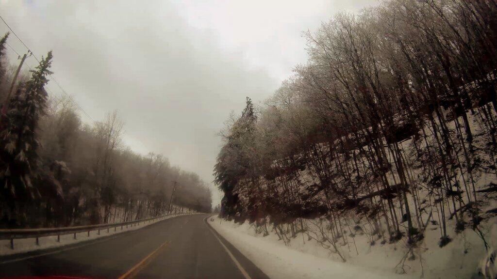
February 13, 2018 10:14 pm Update

According to the GPS logger I built, at 9:29:06 pm I was at 42.575985, -73.91806 at 427 feet above sea level, driving at 41.4 mph, proceeding north, heading at 356.8 degrees on a compass. 🌎

Map: Alma Pond
Map: Dobbins Memorial State Forest
Map: Little John Wildlife Management Area
Map: Otter Lake
Map: South Hill State Forest (Oneida 23)
Map: Summer Hill State Forest
Map: West Parishville State Forest
SVGZ Graphic: albany-snow-depth
SVGZ Graphic: college-rate
SVGZ Graphic: december-holidays
SVGZ Graphic: ht2025
SVGZ Graphic: lt2025
SVGZ Graphic: Places Named Bethlehem
SVGZ Graphic: Towns with Most Similiar Land Cover to the Town of Bethlehem
Terrain Map: Happy World Milk Day!
Photo: House
Photo: Outflow
Photo: Woodvine
Photo: Troy
Photo: Wetlands Across the Canal
Photo: Made it to Dresden
Photo: South Towards Montour Falls
Photo: Crooked Lake House
Photo: Harris Lake
Photo: From the Board Walk - Wide Screen

Leave a Reply

Your email address will not be published. Required fields are marked *