January 19, 2018 9:35 pm Update

People ask when America started going down hill.📉

About the time the MassPike removed the arrow through the Pilgrim’s hat.💘

Map: Alma Pond
Map: Dobbins Memorial State Forest
Map: Little John Wildlife Management Area
Map: Otter Lake
Map: South Hill State Forest (Oneida 23)
Map: Summer Hill State Forest
SVGZ Graphic: albany-snow-depth
SVGZ Graphic: college-rate
SVGZ Graphic: december-holidays
SVGZ Graphic: ht2025
SVGZ Graphic: lt2025
SVGZ Graphic: Places Named Bethlehem
SVGZ Graphic: Towns with Most Similiar Land Cover to the Town of Bethlehem
Terrain Map: Happy World Milk Day!
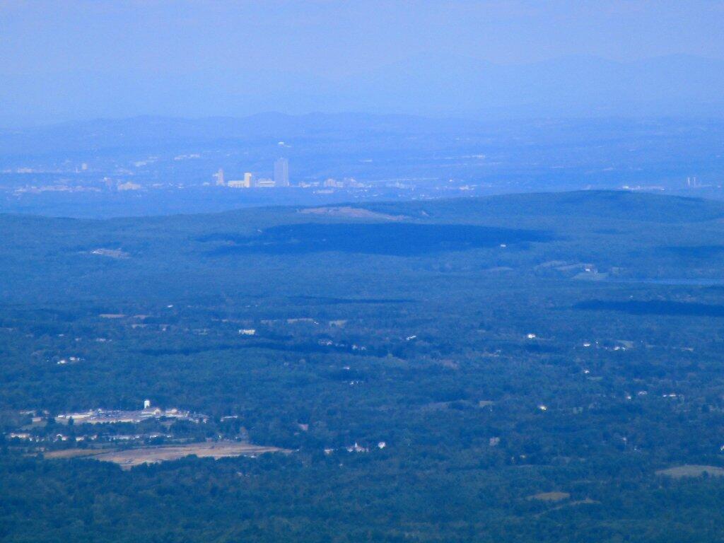
Photo: Albany From Windham High Peak
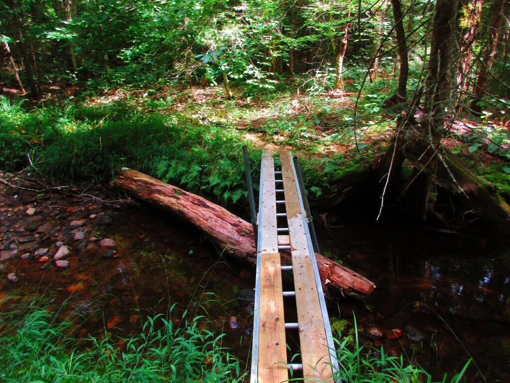
Photo: Homemade Bridge
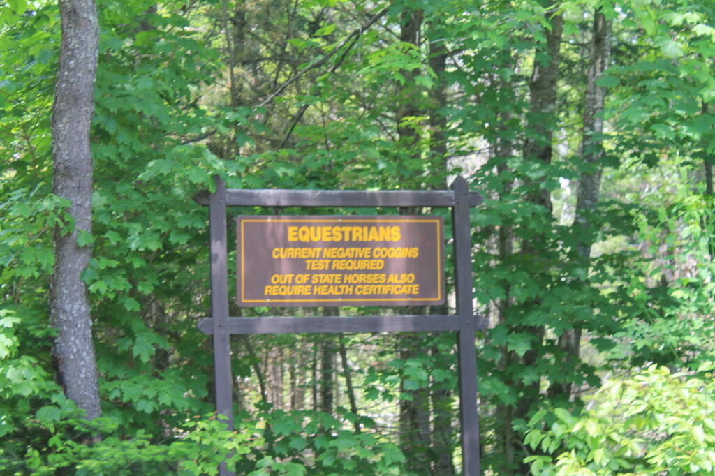
Photo: Equestrarians Sign
Photo: Edge of Tower
Photo: Down To Troy
Photo: Shit Ton Of Moose Shit On Lye Brook Trail
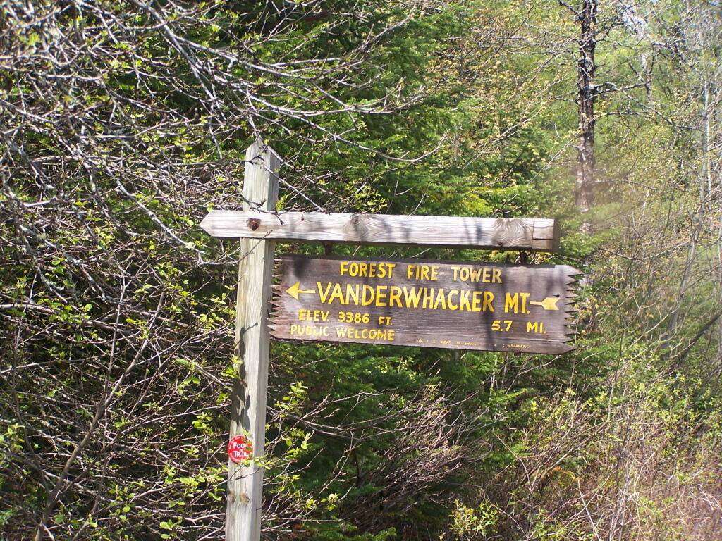
Photo: Vanderwhacker Firetower Trail Sign
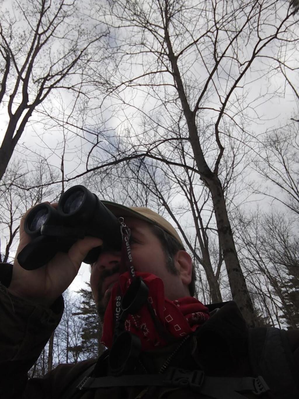
Photo: Bird watching
Photo: There's a bunch of dead ash trees on the hills all over Western Pennsylvania
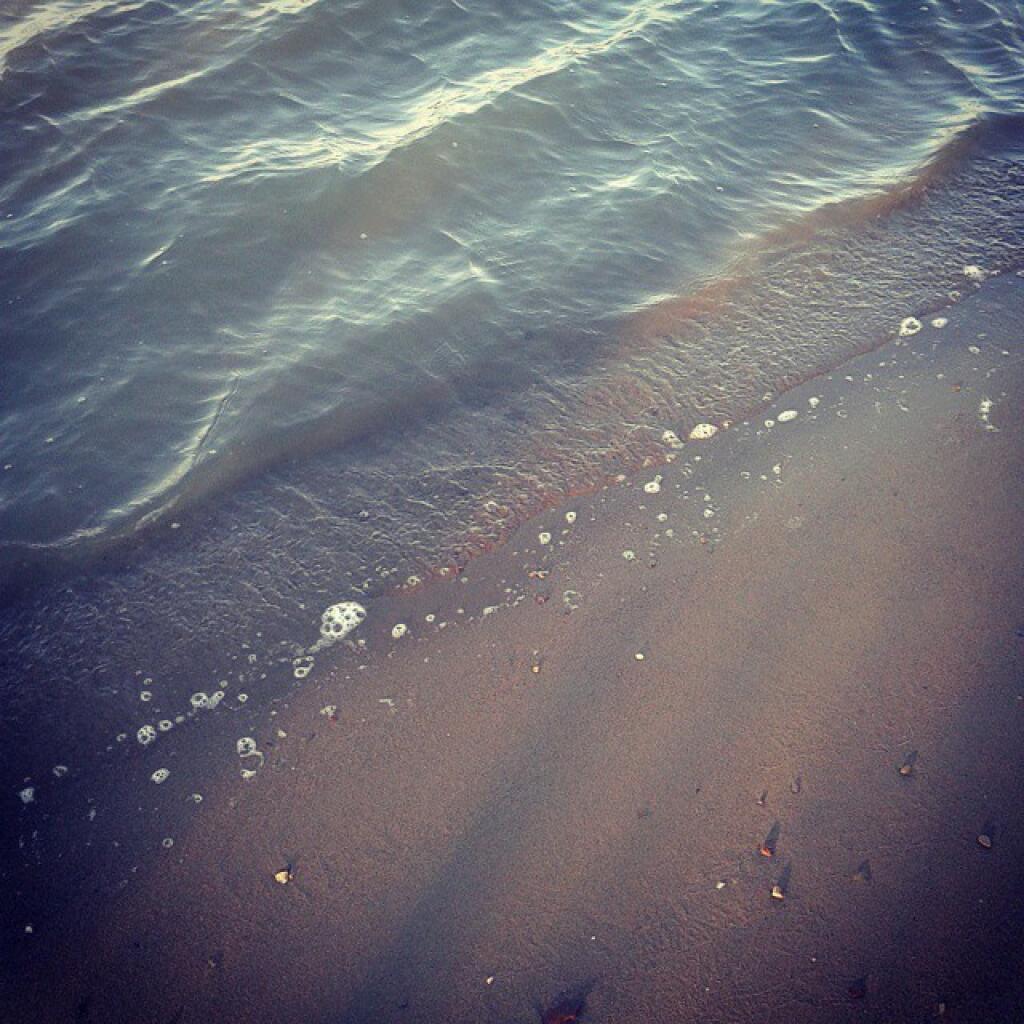
Photo: Cold water

Leave a Reply

Your email address will not be published. Required fields are marked *