Dashcam Photos

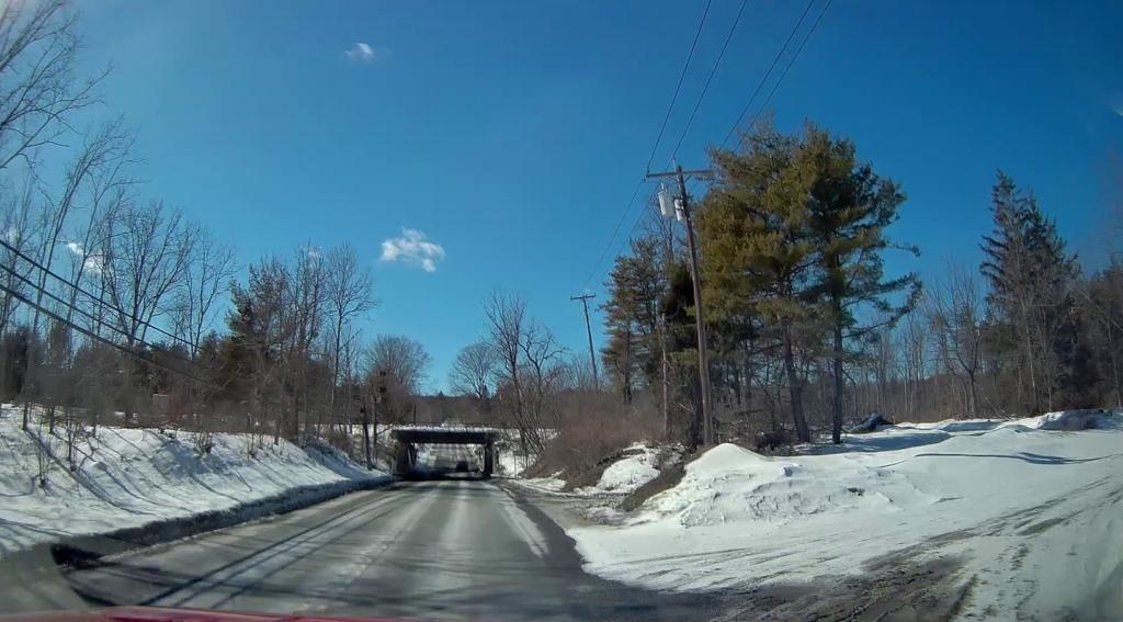
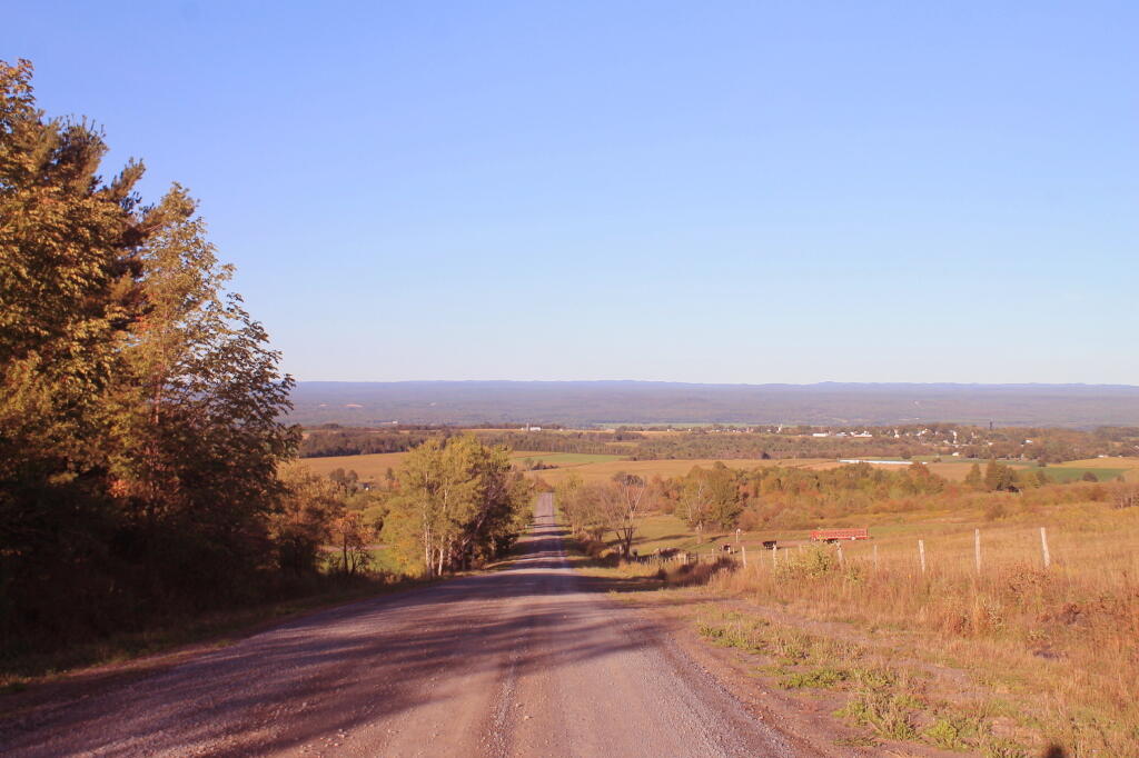
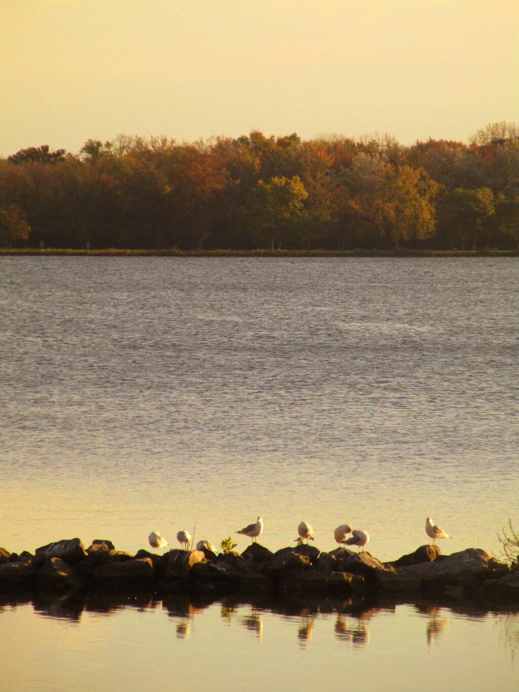
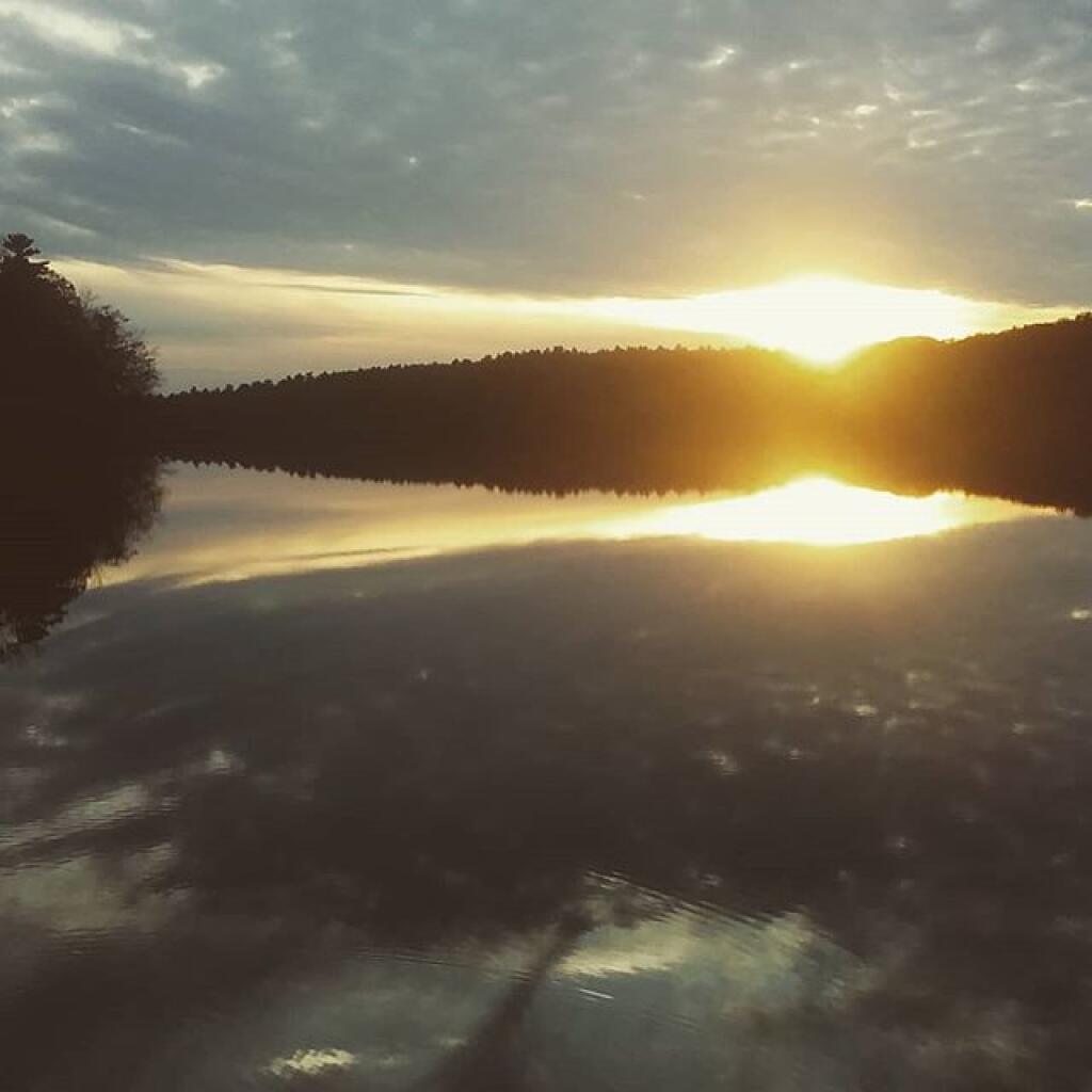
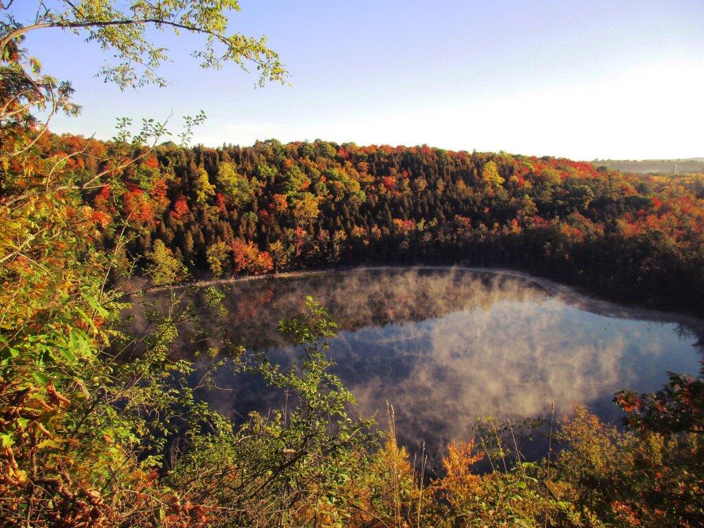
This past autumn I’ve discovered I have a button on my dash camera that lets me snap a photo. I can reach up to my windshield and tap a button and have a picture saved. I’ve been trying to capture more of the ordinary parts of countryside, especially rural homes, small towns, and farms along the road. Maybe boring, maybe not. I think it’s important to capture some of the landscape, before it changes. And for my own memory.

Map: Alma Pond
Map: Dobbins Memorial State Forest
Map: Little John Wildlife Management Area
Map: Otter Lake
Map: South Hill State Forest (Oneida 23)
Map: Summer Hill State Forest
Map: West Parishville State Forest
SVGZ Graphic: albany-snow-depth
SVGZ Graphic: college-rate
SVGZ Graphic: december-holidays
SVGZ Graphic: ht2025
SVGZ Graphic: lt2025
SVGZ Graphic: Places Named Bethlehem
SVGZ Graphic: Towns with Most Similiar Land Cover to the Town of Bethlehem
Terrain Map: Happy World Milk Day!
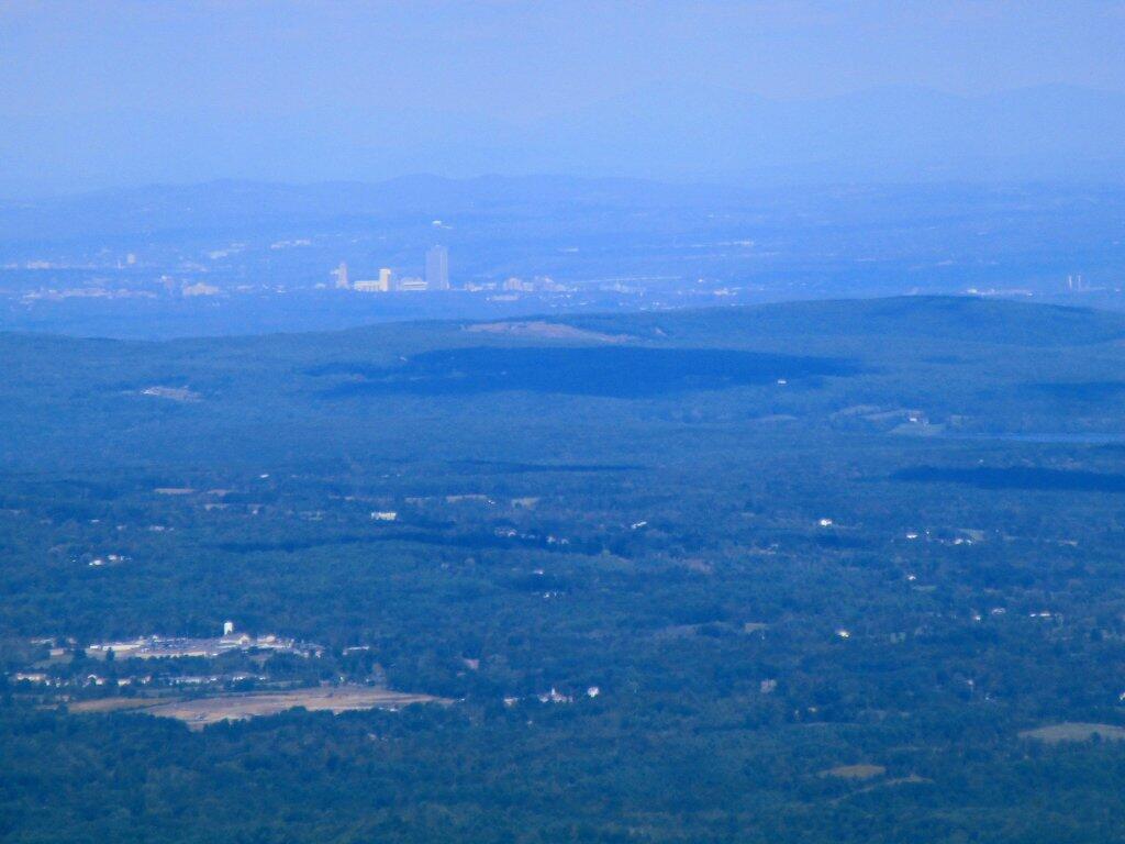
Photo: Albany From Windham High Peak
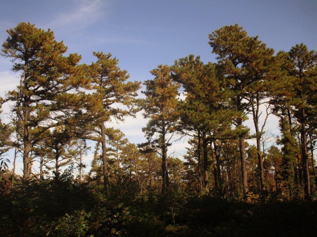
Photo: Pitch Pine Forest
Photo: Edge
Photo: Before Unionville Hill
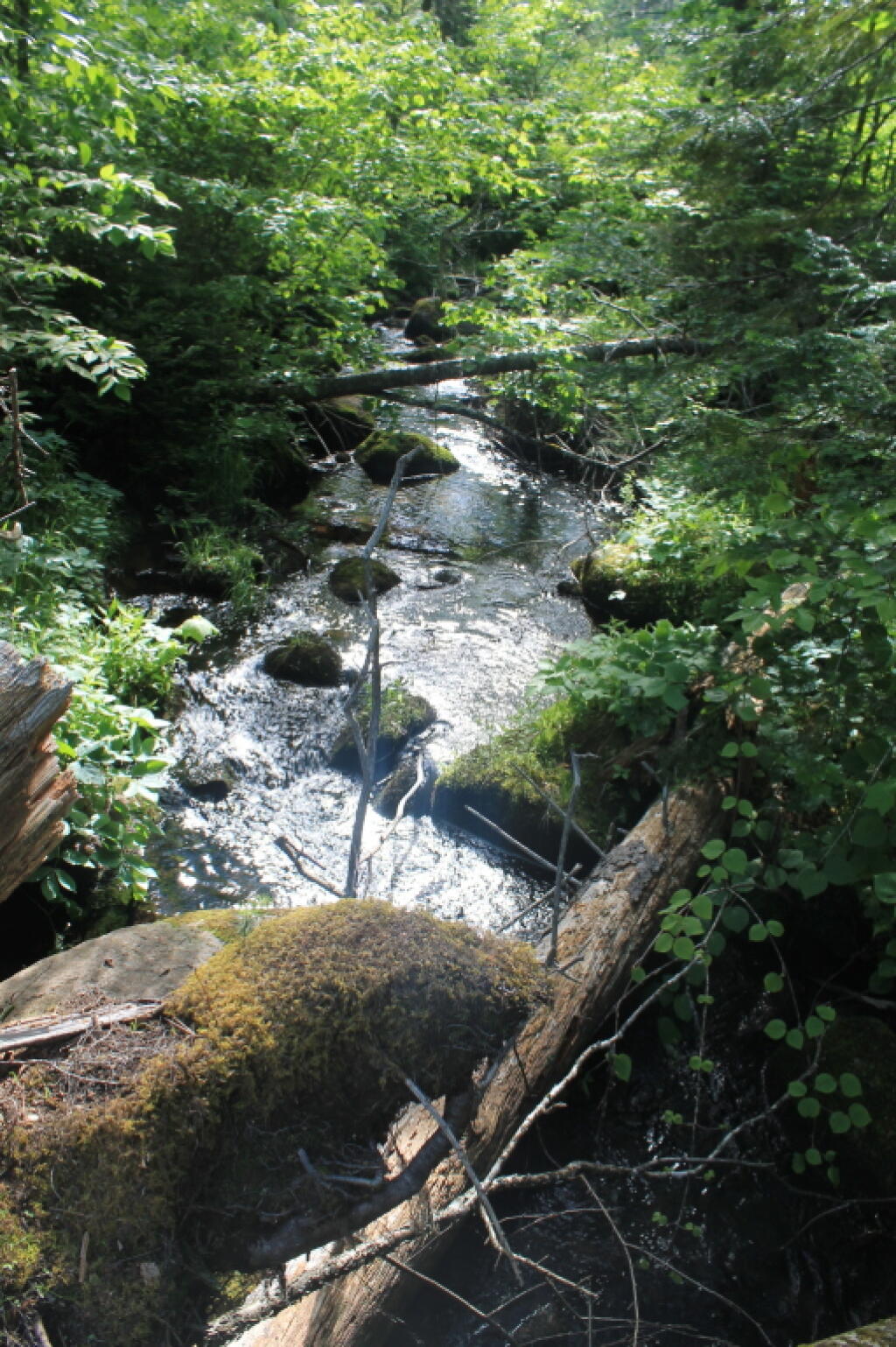
Photo: Creek
Photo: Keener Hill Road
Photo: Shoreline
Photo: End of the day, End of Long Pond
Photo: Duck
Photo: Later In The Morning

Leave a Reply

Your email address will not be published. Required fields are marked *