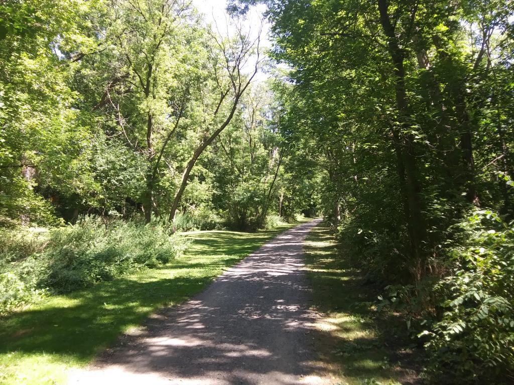
Delmar, NY at 2/11/17 3:45 pm

In February 1970 there was 325 ppm of carbon dioxide measured at Mount Loma. 47 years later in Feb.2017 there is 20% more or 405 ppm.

Map: Alma Pond
Map: Dobbins Memorial State Forest
Map: Little John Wildlife Management Area
Map: Otter Lake
Map: South Hill State Forest (Oneida 23)
Map: Summer Hill State Forest
SVGZ Graphic: albany-snow-depth
SVGZ Graphic: college-rate
SVGZ Graphic: december-holidays
SVGZ Graphic: ht2025
SVGZ Graphic: lt2025
SVGZ Graphic: Places Named Bethlehem
SVGZ Graphic: Towns with Most Similiar Land Cover to the Town of Bethlehem
Terrain Map: Happy World Milk Day!
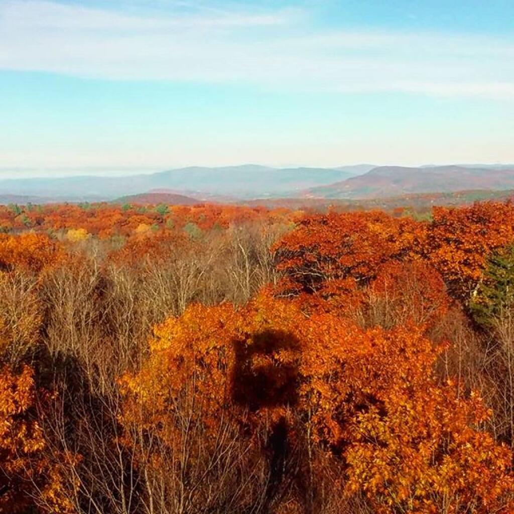
Photo: Seasonal shadow
Photo: Troy
Photo: Made it to the top
Photo: No, it doesn't work
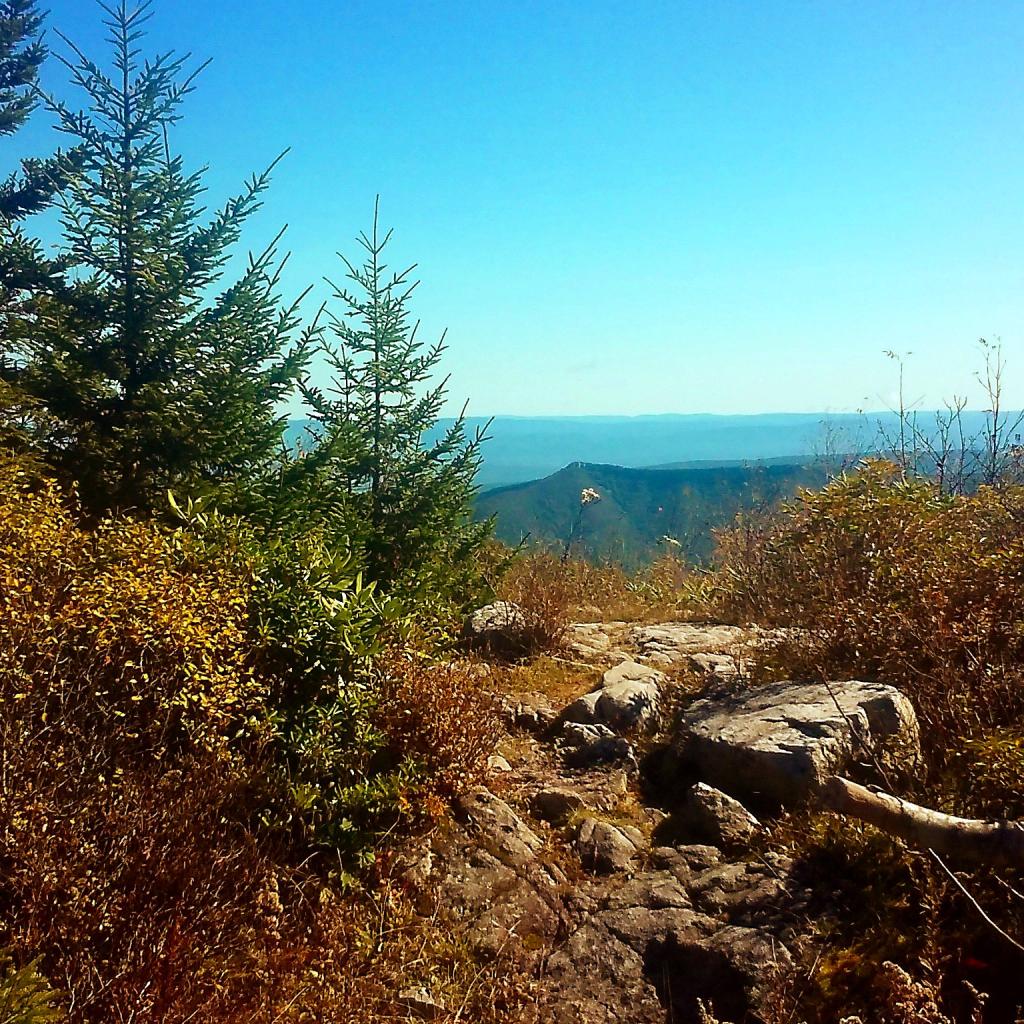
Photo: Point
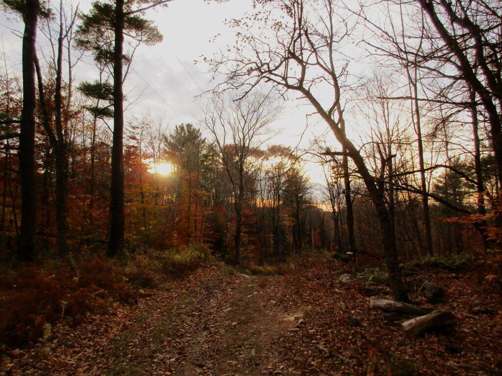
Photo: Almost Made Me Think Of November
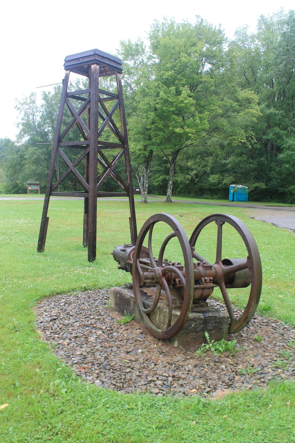
Photo: Mock Rig and Pump at Entrance to Drake Well Historic Site
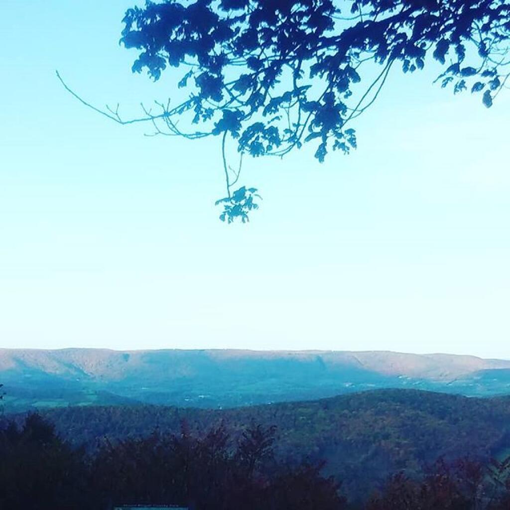
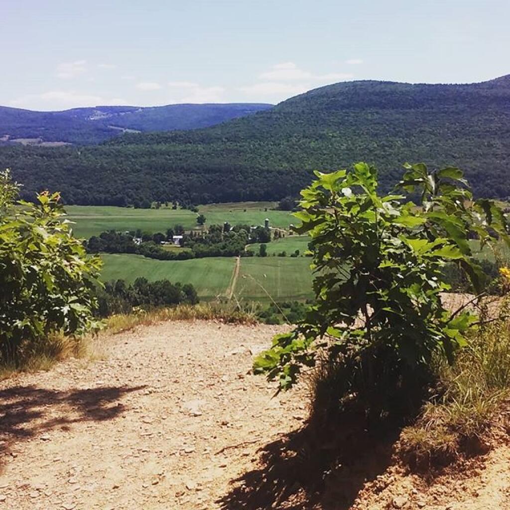
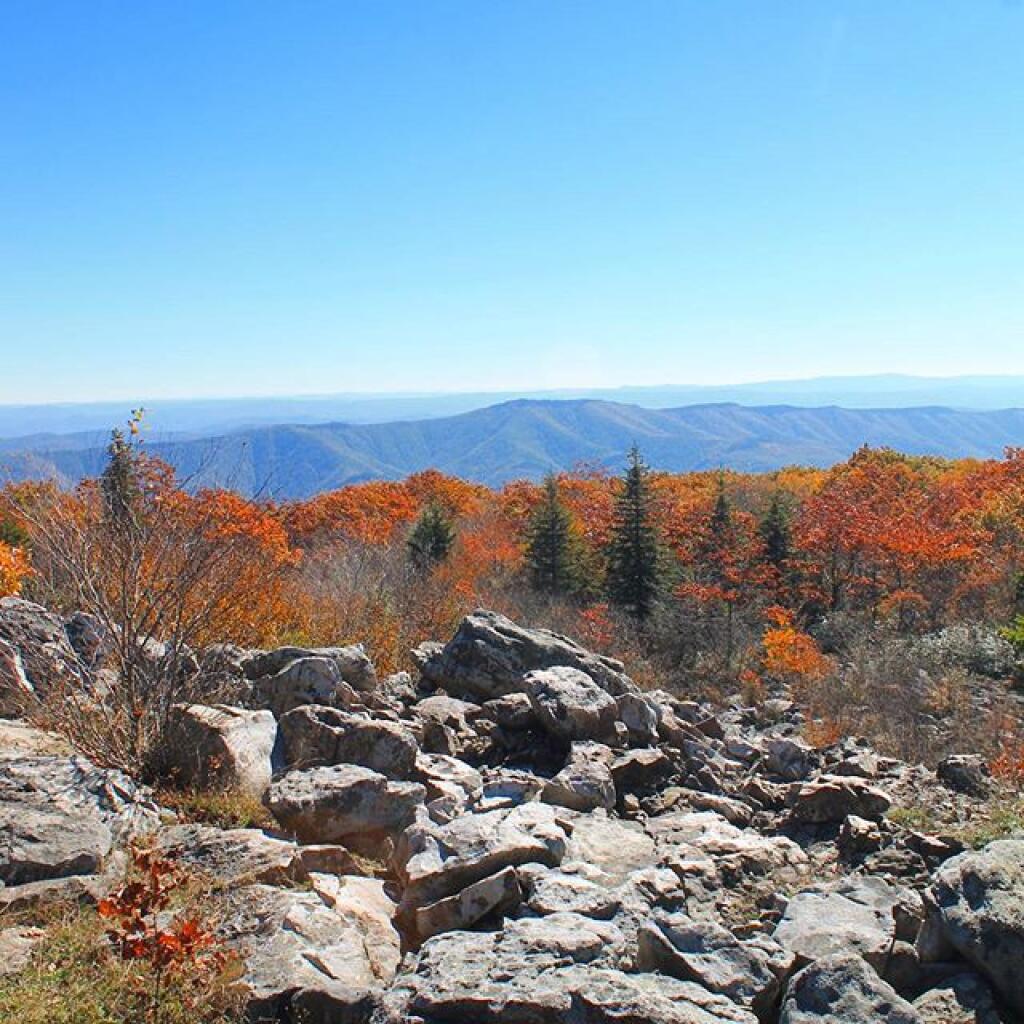
Photo: View from Overlook
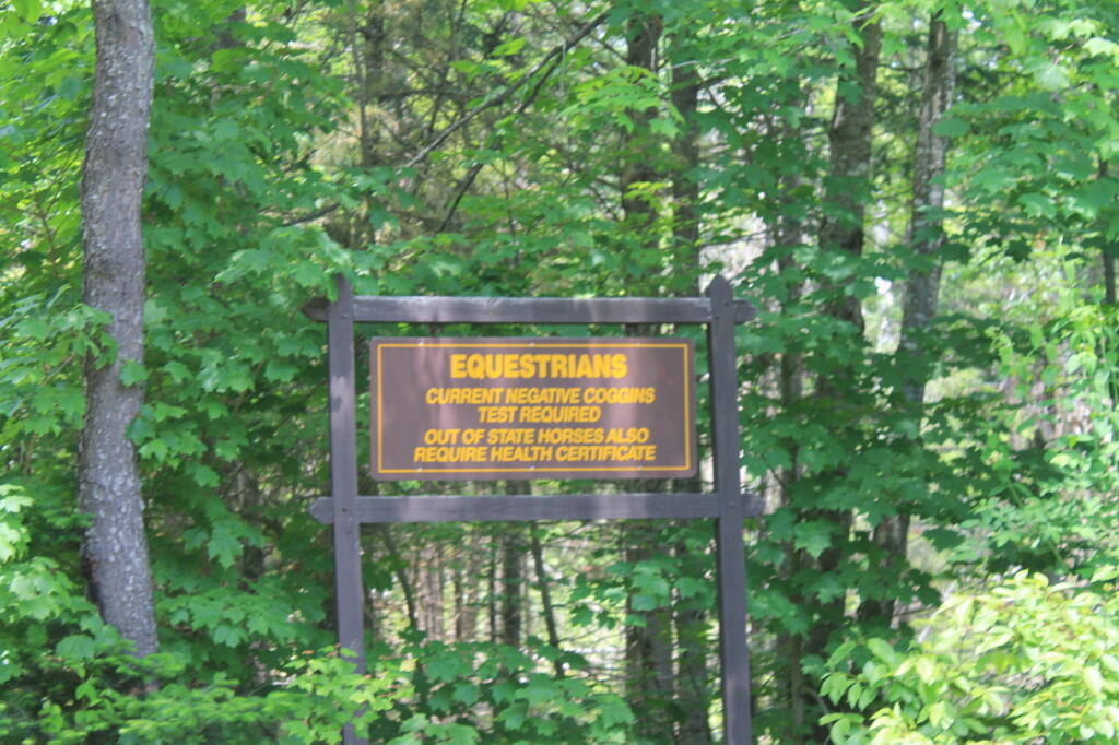
Photo: Equestrarians Sign
Photo: Nice quiet trail along the creek

Leave a Reply

Your email address will not be published. Required fields are marked *