February 10, 2017 9 PM Update

It’s snowing out again this evening. Maybe two inches by morning. We might come close to breaking the record tonight which is only four inches except I think the timing will be too late. 

Sunday’s snow storm is complicated but I’m leaning towards 6-7 inches of snow between Sunday afternoon and Monday morning. It won’t be a real heavy snow but it will add up. A lot depends on the temperature and how much moisture pushes in.

  • 1 inch – Sunday 11 AM
  • 2 inches – 2 PM
  • 3 inches – 5 PM
  • 4 inches – 7 PM
  • 5 inches – 11 PM
  • 6 inches – Monday 6 AM
Map: Alma Pond
Map: Dobbins Memorial State Forest
Map: Little John Wildlife Management Area
Map: Otter Lake
Map: South Hill State Forest (Oneida 23)
Map: Summer Hill State Forest
Map: West Parishville State Forest
SVGZ Graphic: albany-snow-depth
SVGZ Graphic: college-rate
SVGZ Graphic: december-holidays
SVGZ Graphic: ht2025
SVGZ Graphic: lt2025
SVGZ Graphic: Places Named Bethlehem
SVGZ Graphic: Towns with Most Similiar Land Cover to the Town of Bethlehem
Terrain Map: Happy World Milk Day!
Photo: Reading
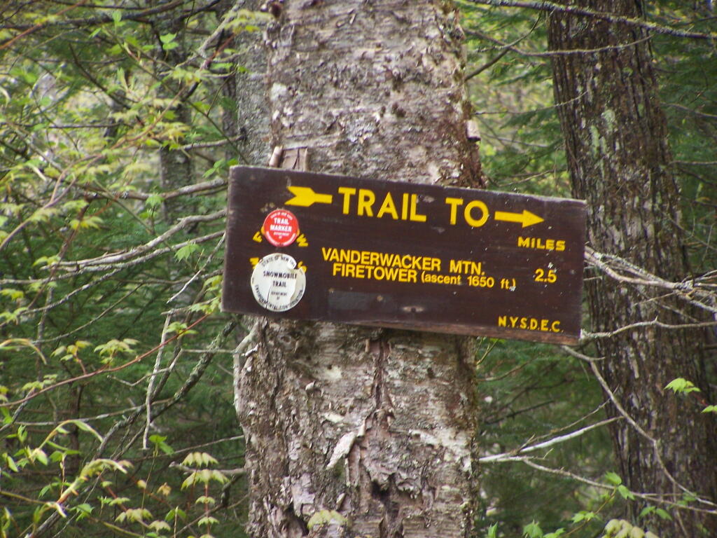
Photo: Vanderwhacker Firetower Trail Sign
Photo: Burned Hardwood Section Reminds Me Of Allegheny Woods
Photo: West
Photo: Dolly Sods Road
Photo: Along The Blue Ridge Parkway
Photo: Kueka Outlet in the afternoon
Photo: Golden
Photo: Ducks
Photo: Replacement Bridge

Leave a Reply

Your email address will not be published. Required fields are marked *