GPS Tracks to Discover New Trails

Today I discovered a new trail at Thacher Park I never knew of because of the GPS tracks I post on the blog under Google County Maps. 

So, yes I use the maps I make up, although these days with smartphone GPS, I tend to use the Google County Maps more then the paper maps. 

Map: Alma Pond
Map: Dobbins Memorial State Forest
Map: Little John Wildlife Management Area
Map: Otter Lake
Map: South Hill State Forest (Oneida 23)
Map: Summer Hill State Forest
Map: West Parishville State Forest
SVGZ Graphic: albany-snow-depth
SVGZ Graphic: college-rate
SVGZ Graphic: december-holidays
SVGZ Graphic: ht2025
SVGZ Graphic: lt2025
SVGZ Graphic: Places Named Bethlehem
SVGZ Graphic: Towns with Most Similiar Land Cover to the Town of Bethlehem
Terrain Map: Happy World Milk Day!
Photo: After The Fire
Photo: West
Photo: Kipp Hill From Pratt Rock
Photo: Campsite
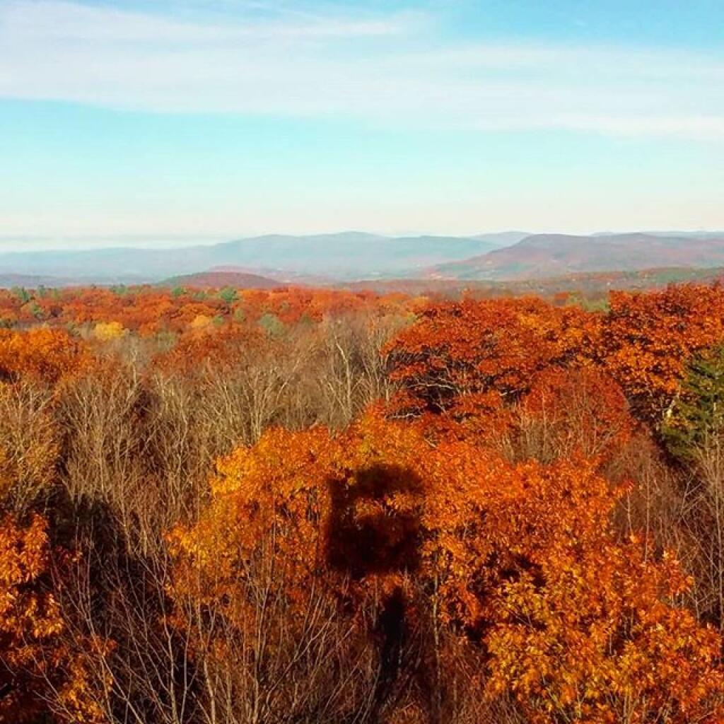
Photo: Seasonal shadow
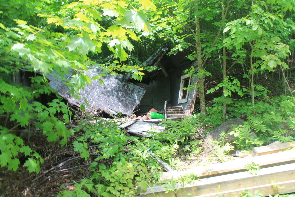
Photo: Garage
Photo: Along the way
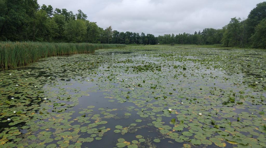
Photo: Wetlands
Photo: Almost Back
Photo: Shit Ton Of Moose Shit On Lye Brook Trail

Leave a Reply

Your email address will not be published. Required fields are marked *