October 16, 2016 Night

Made up a new batch of maps for the blog. Some are replacement maps and some are new. Most are much higher quality and better visual appearance then the previous versions. A lot in Western NY, with a particular focus on Chautauqua County.

Starting tonight, I’ve switched over to showing coordinates on my maps from degrees-minutes-seconds to decimal degrees, which in the era of GPS and computers are much more common. Degree-minutes-seconds are more artsy and the code to implement them was more complicated, but realistically they are technology that has come and gone over the years.

Map: Alma Pond
Map: Dobbins Memorial State Forest
Map: Little John Wildlife Management Area
Map: Otter Lake
Map: South Hill State Forest (Oneida 23)
Map: Summer Hill State Forest
Map: West Parishville State Forest
SVGZ Graphic: albany-snow-depth
SVGZ Graphic: college-rate
SVGZ Graphic: december-holidays
SVGZ Graphic: ht2025
SVGZ Graphic: lt2025
SVGZ Graphic: Places Named Bethlehem
SVGZ Graphic: Towns with Most Similiar Land Cover to the Town of Bethlehem
Terrain Map: Happy World Milk Day!
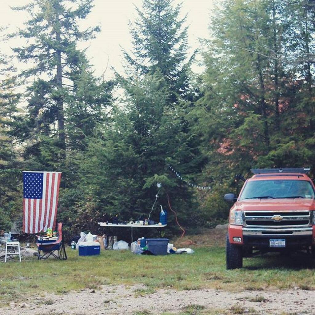
Photo: Camping on Forest Road 13
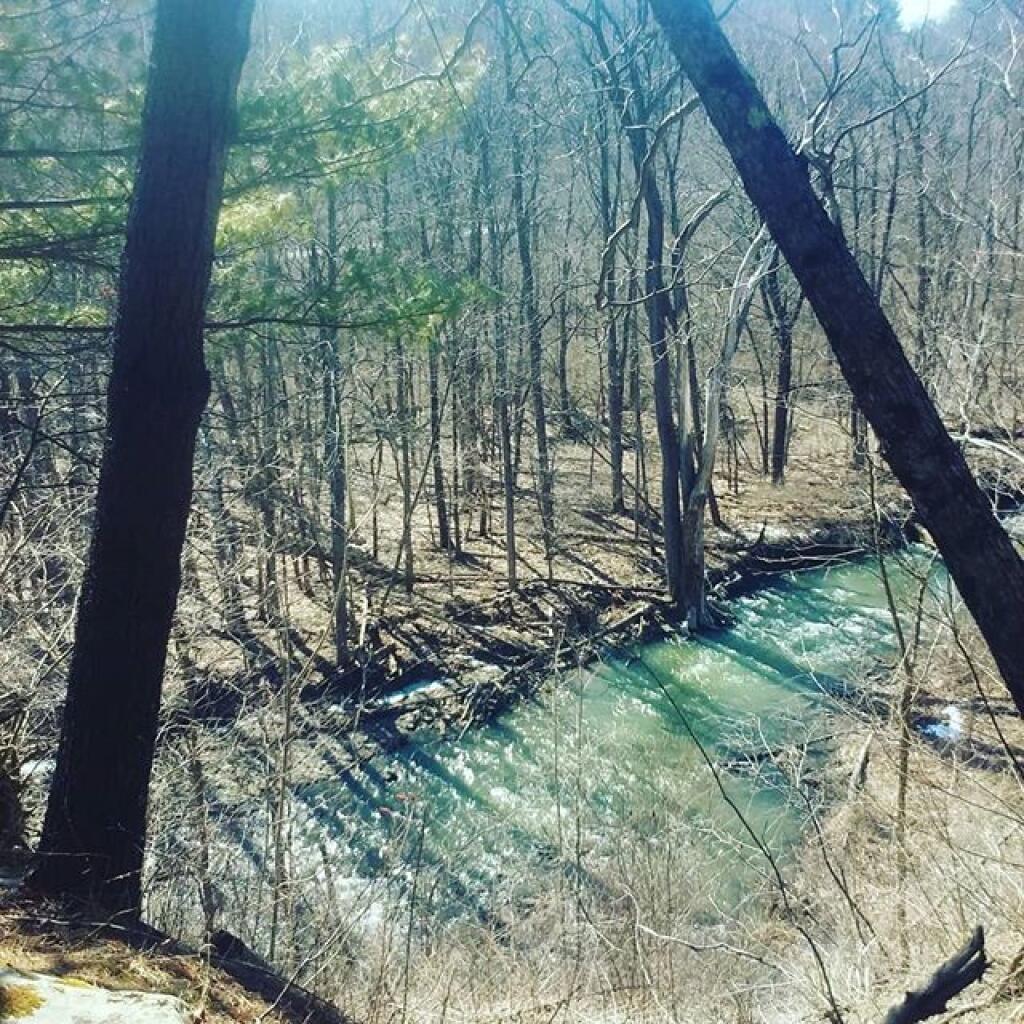
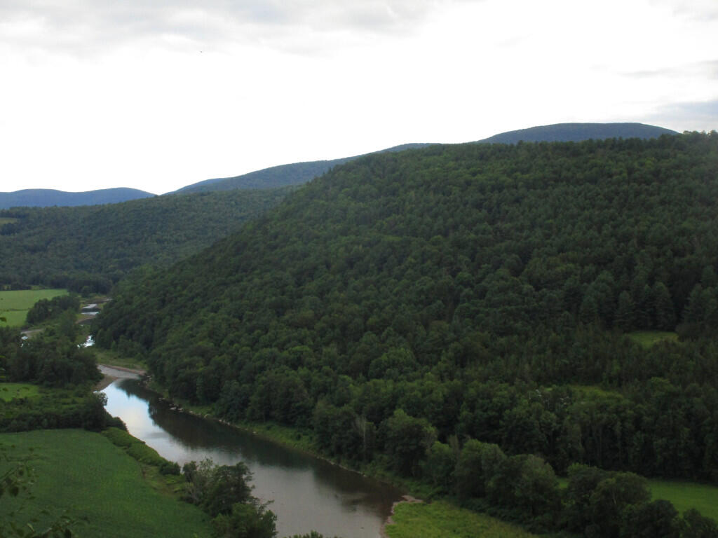
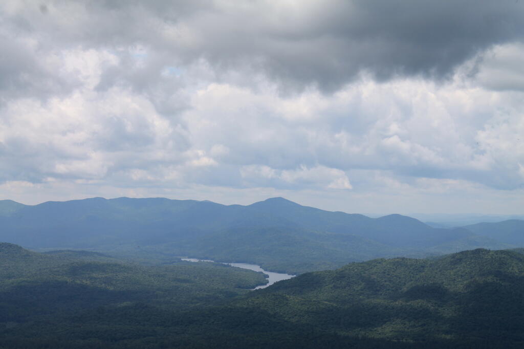
Photo: Bozen Kill Overlook
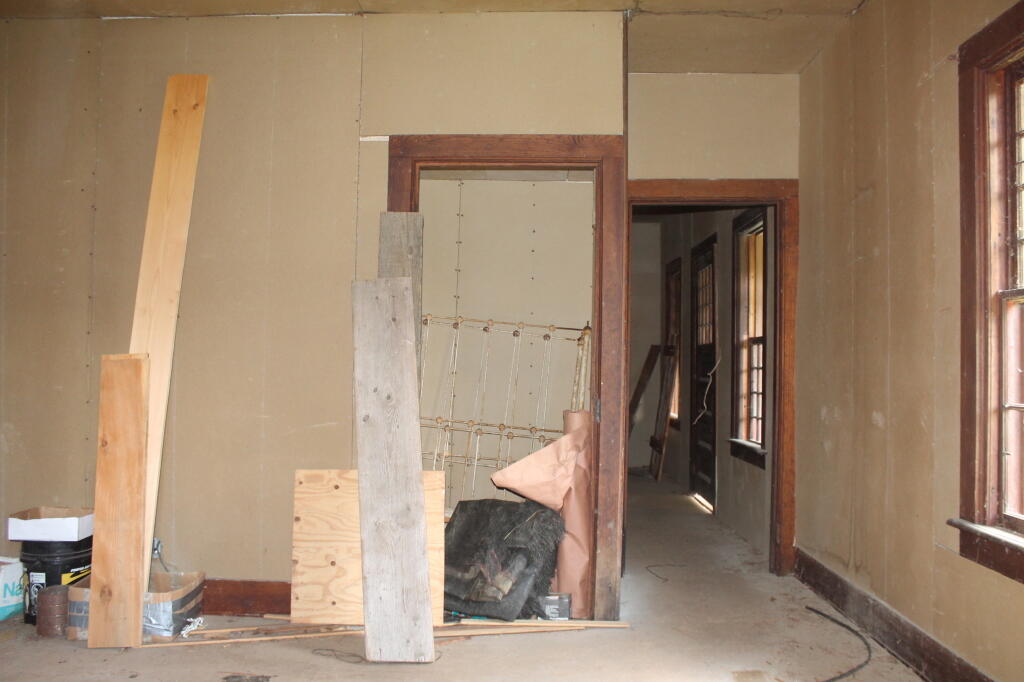
Photo: Through a Window
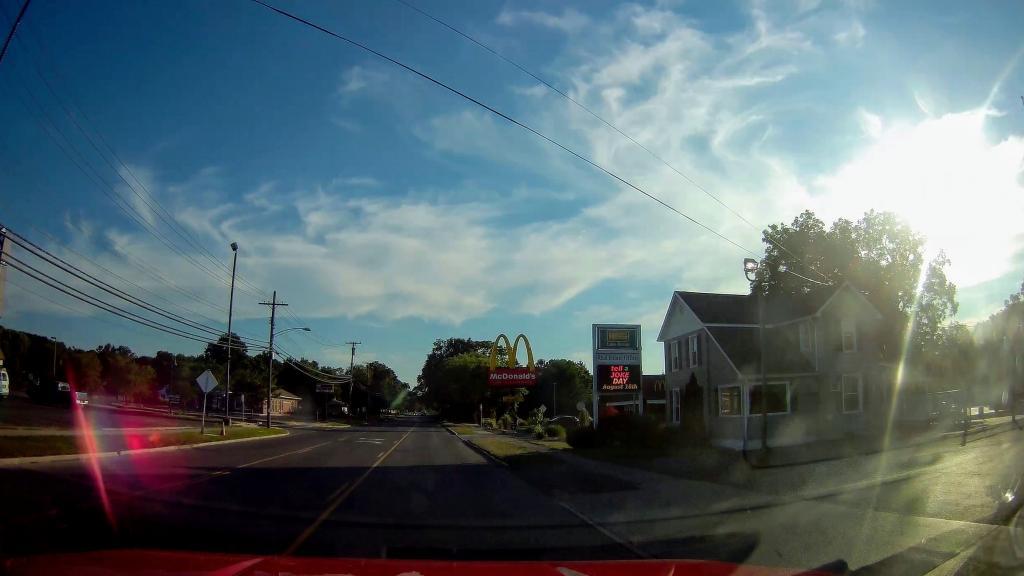
Photo: Golden Arches 🍔
Photo: Kipp Hill From Pratt Rock
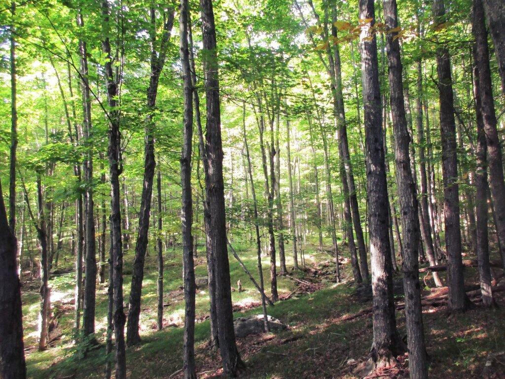
Photo: Wooded Meadows In Northern Catskills
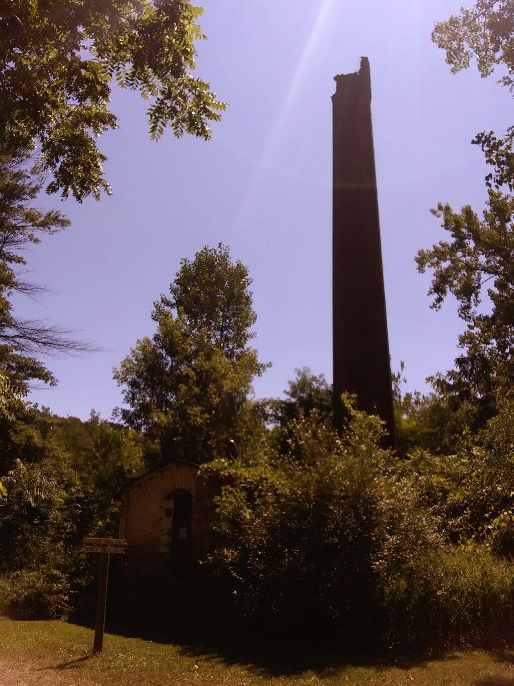
Photo: Kenka Mills Ruins
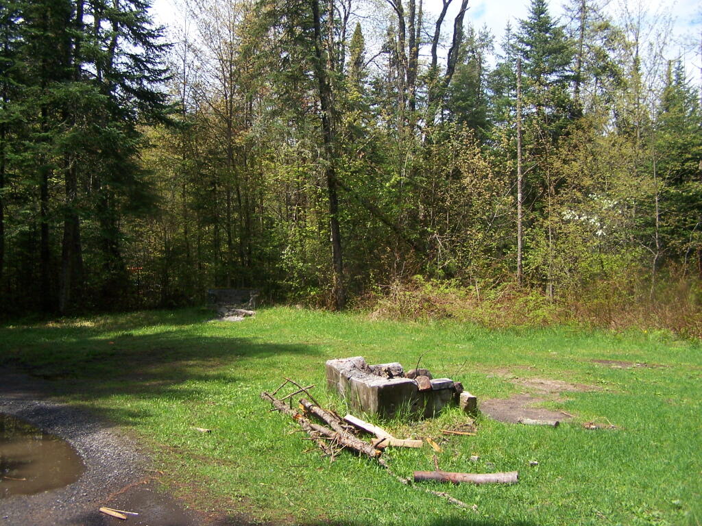
Photo: Field Camping Area
Photo: Harris Lake
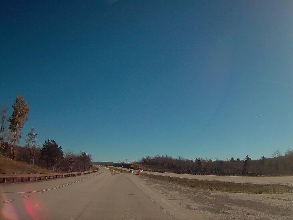
Photo: Where Corridor H Ends Outside Of Davis WV

Leave a Reply

Your email address will not be published. Required fields are marked *