August 26, 2015 morning
Beautiful late summer morning with the mercury at 69 degrees and sunny. A little haze in the distance but for the most part clear. 77 degrees will be the high with some clouds creeping in later. My call is for partly cloudy and 73 degrees around 7 PM. Sunset at 7:40 and darkness around 8:09. The moon will be 80% illuminated and will set at 2:37 AM as we approach Sunday’s full moon.
Last night my phone was acting up again but hopefully it will work better today. I don’t know why phone is always so unreliable but I’m starting to think that the phone flexes and some of the connections don’t work right.
Still haven’t gotten down to the park, because with the questionable weather of recent I’ve been hesitant to drive down there with my sprained ankle. But at least I’ve gotten lots of rest and done a lot of reading at home.
Friday afternoon is the work picnic at Thacher Park. I took the full day off because I didn’t want to drive into the city for a couple of hours. I haven’t made any plans for the weekend but thought about doing a day trip to locate some of the designated campsites at Speculator Tree Farm.
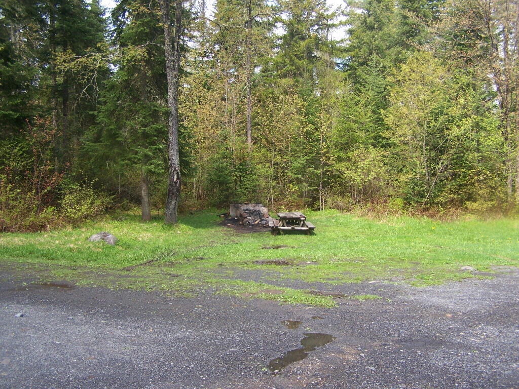
I found a list on the DEC website and while they don’t provide a map I figured I could make one after I located them on a map. I might stay overnight — if I bought some firewood, I wouldn’t have to be running to gather around, and could just hang out at camp in the afternoon, without putting much weight or stress on my ankle. Another possibility might be to go out to Burnt Rossman State Forest, and visit Mine Kill State Park pool, as I think Labor Day is the last day it will be open until next year.