Reaching Top 🖼️
Download a JPEG Image of the Reaching Top.
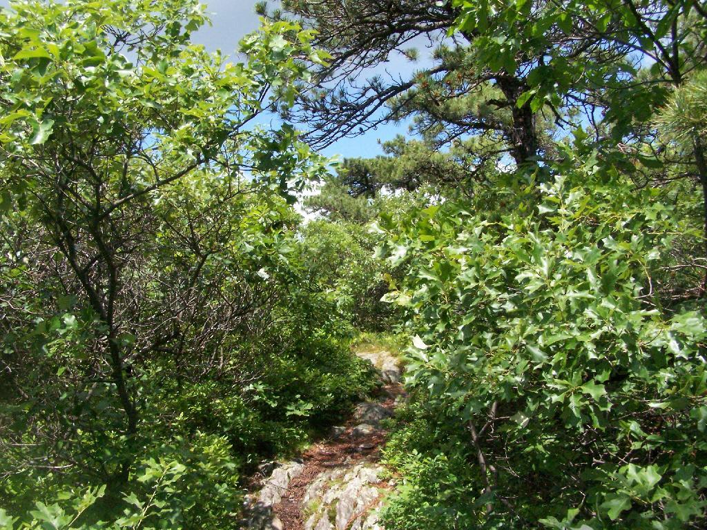
Reaching Top ...
When you reach the top of Sunset Rock, the bushes become smaller, and there is lots of scrub oak and blueberry plants around.
Taken on Sunday June 14, 2009 at Bash Bish Falls.

More about Bash Bish Falls...
Bash Bish Falls might be the most spectacular waterfall in the state Massachusetts. It's literally located on the state line of NY and MA in Mt. Washington, MA. (It's a thirty second drive up from Taconic State Forrest which is in Copake Falls, NY.)
http://berkshirehiking.com/hikes/bash_bish.html


