A Fun Weekend
Talk about a fun weekend. Camped two nights at the big campsite on the south side of NY 8 about a mile west of Fox Lair campsite. Fox Lair campsite was taken by turkey hunters hoping to call in a bird from the ledge and drop them and retrieve them with waders on.
That campsite I was at (and had used many times previously) was nice because it’s roomy, has a open air outhouses, out of eyeshot and earshot of other campsites and has good banks to use as backstop for shooting. The Route 8 campsites suffer from road noise but are really well spread out (and well hidden from the road).
Besides blowing more holes into my makeshift targets made out of old and very holey lawn signs and having big roaring campfires (burning my share of share firewood and assorted junk), listening to Jason Aldean too loud all night long and stringing tacky chaser lights, did some hiking and fishing. While I have my tag, still don’t have the gear for spring turkey, so no hunting.
Hiked up the Balm of Gilead and out to Elizabeth Point on Thirteenth Lake. The trails were pretty wet for sure. Snow free and nice weather though. It wasn’t too crowded in the trails but there was a lot more folks down by the lake. Most of the lakeside campsites were filled, as was the 13th Lake parking lot.
Sunday tried fishing in the Sacandaga River at the Augur Falls Parking lot and hiked down to Auger Falls. The falls were roaring like usual. Then went down to Lake Algonquin tossed a line in there, then tried bank fishing just below the dam.
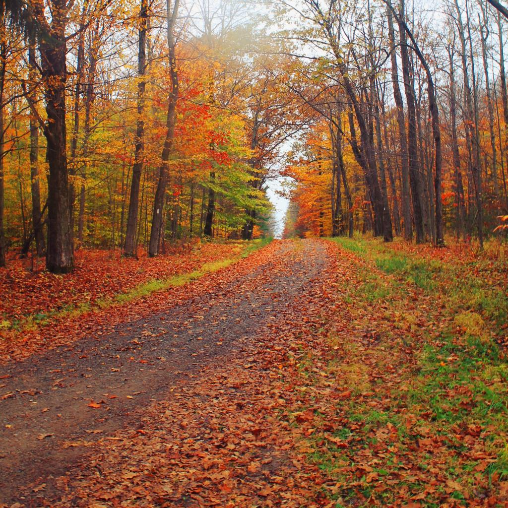
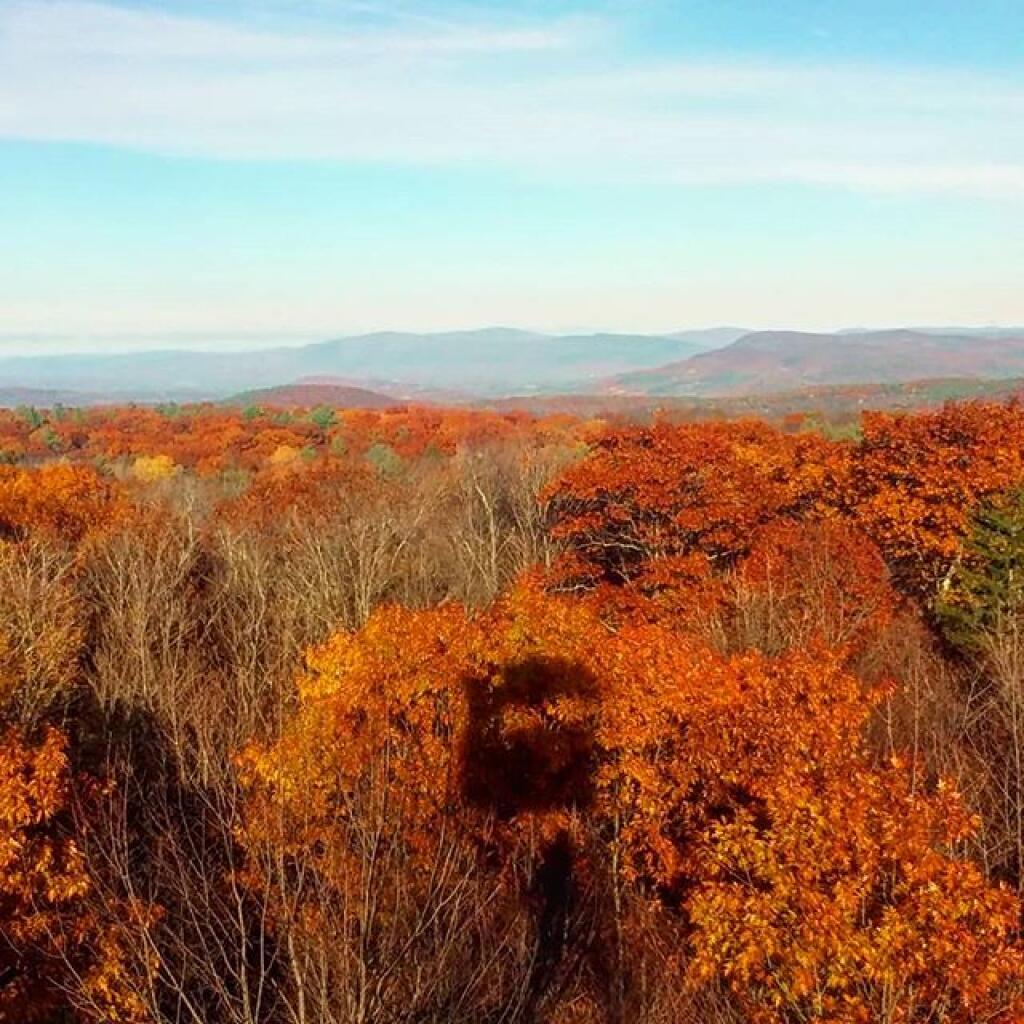
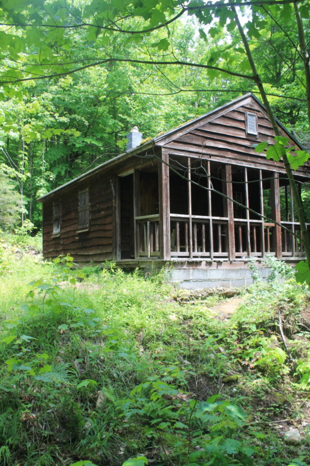
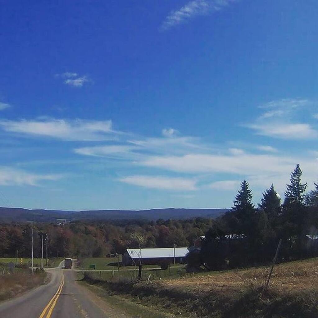
I’ve uploaded a bunch of pictures. Still have more to upload from my Digital SLR camera. More coming tomorrow. It certainly was a fun weekend with many great activities and lots of solitude broken up by loud country music and shooting guns for the fun of it.
I enjoyed Chenango County two weeks ago but the wild nature of the Adirondacks made this trip a lot of fun too.