Hump Day Update
Good Morning! Happy Hump Day. It comes around on the calender, as we get one more day closer to the weekend. This weekend’s forecast looks pretty north, so I am thinking of heading out of town. Still don’t have my truck back, but let’s be honest, it’s mid-July and the summer is rapidly becoming eligible for listing on the Endangered Species list. A few rainy weekends, and we could be without much of a summer remaining. Especially in the Adirondacks, summer tends to not be long lasting.
Summer plans are pretty much on hold for now, while I wait for my truck to get back. Work is pretty darn busy, so I really haven’t had much time off lately. I guess I will just save the time up for November and hunting season. In the mean-time, I am sort of planning at least one trip to Pennsylvania, and couple of long weekends up to the Adirondacks – maybe one trip to North Lake, one to Western Adirondacks/Tug Hill, and Moose Plains.
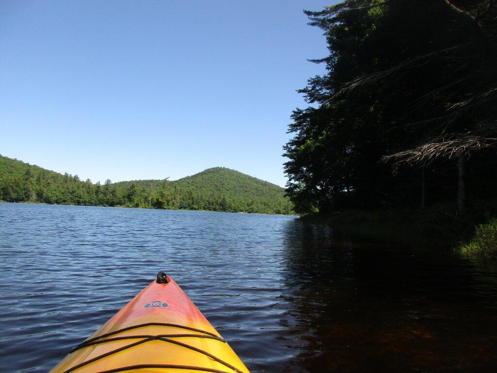
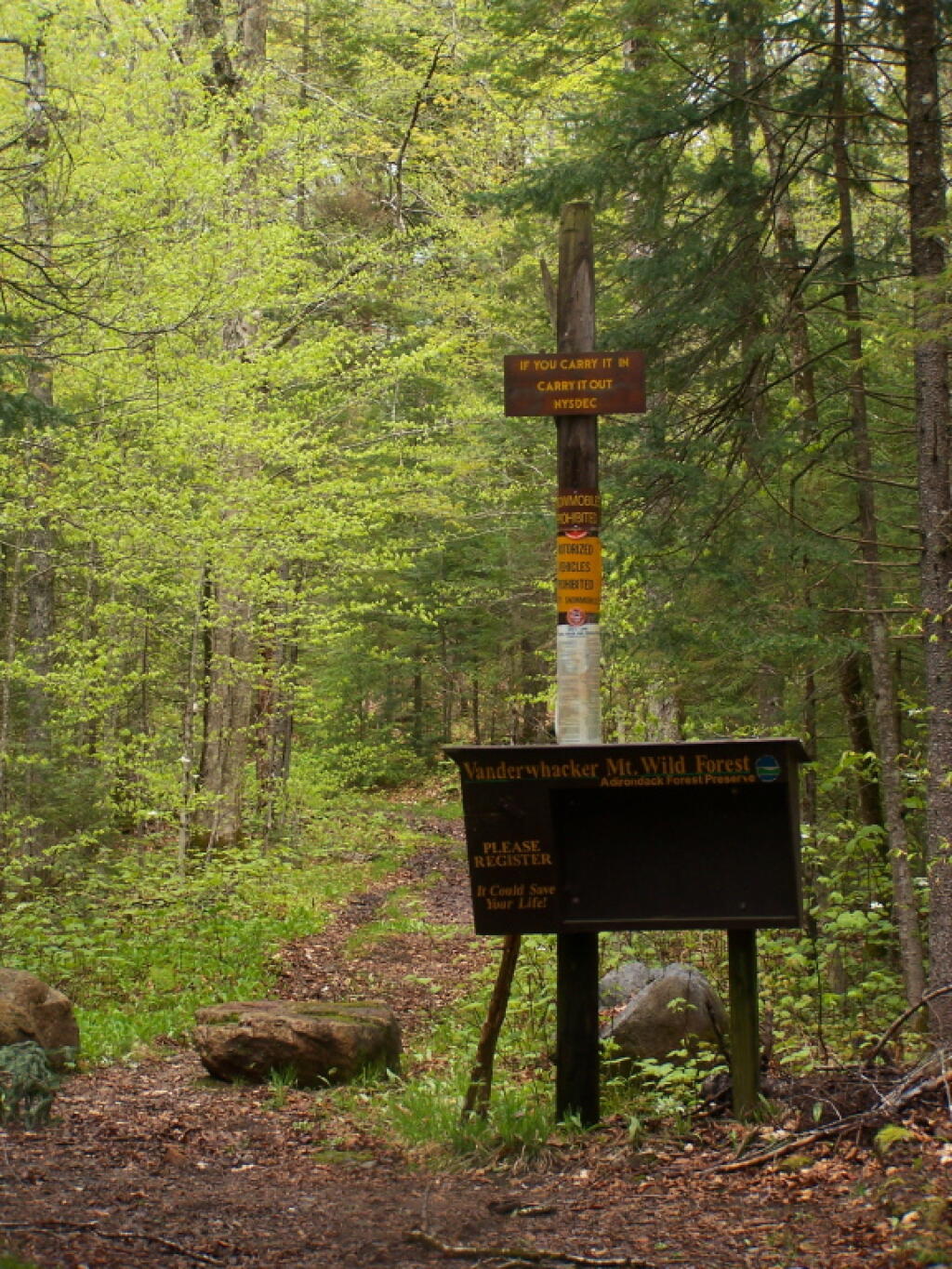
I guess I could also go up to the St Regis Canoe-area or Rainbow Lake/Lake Kushauqa, but I really don’t like the crows up there, even if there is some nice kayaking along Fish Creek-area. Maybe a trip up to Lester Flow and the Vanderwhacker-area, would be another nice regular weekend trip.
It seems like the heat has broken. Yesterday, wasn’t that hot, but it also helped that I remembered to close the window shades before leaving the morning. Went down to the park for a bit of reading. The thunderstorms and rain held off, although by 8:35 that sky was getting black with clouds, so I hurried home. By 9:30 PM, it completely poured, but by then I was curled up next to a book at home.