Exploring the Sawmill Ruins and Waterfalls of Doney Hollow
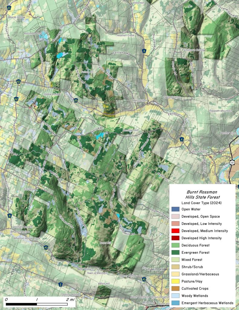
There is a specific kind of quiet you only find in the forgotten hollows of Upstate New York. It is the feeling of entering a deep, dark valley where the canopy swallows the sky, the air drops five degrees, and the only sound is the steady rush of a mountain stream. If you are looking for pure solitude away from crowded, high-traffic summits, the hike up Doney Hollow in the southern section of the Burnt-Rossman Hills State Forest is exactly where you want to drop your rig.
Located just off West Kill Road (County Route 43) near North Blenheim, Doney Hollow serves as the rugged anchor for Section 30 of the Long Path. But you don’t need to commit to a massive through-hike to appreciate this valley. A short, steady climb along the old woods road offers an incredible look at both the raw beauty of the Schoharie hills and the deep history left behind by the people who tried to carve a living out of these steep slopes a century ago.
Climbing the Old Woods Road
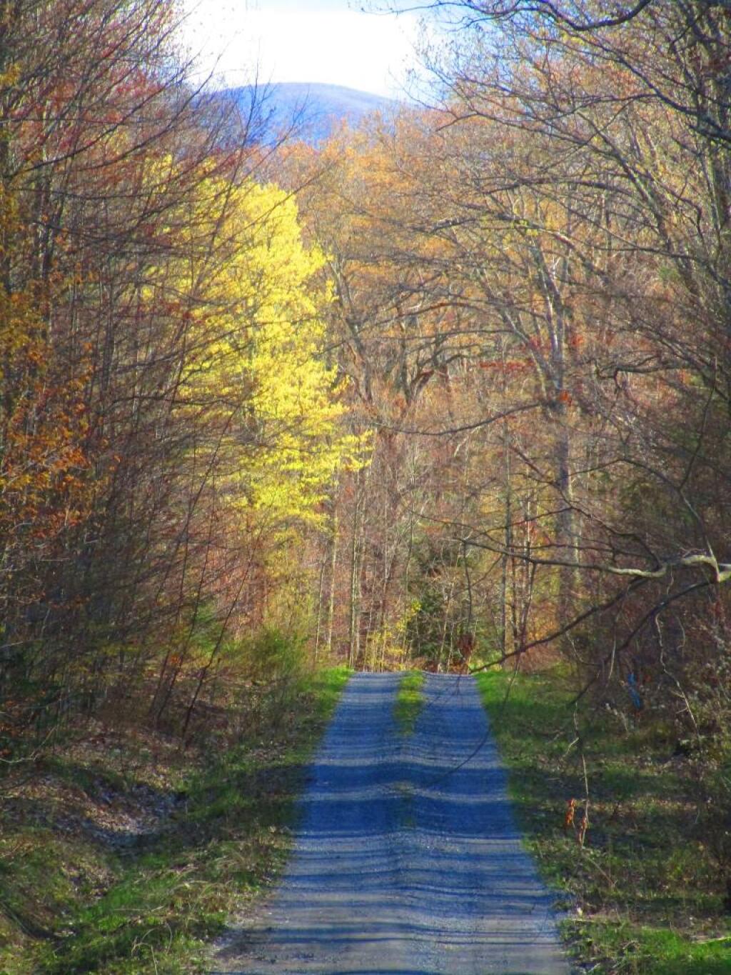
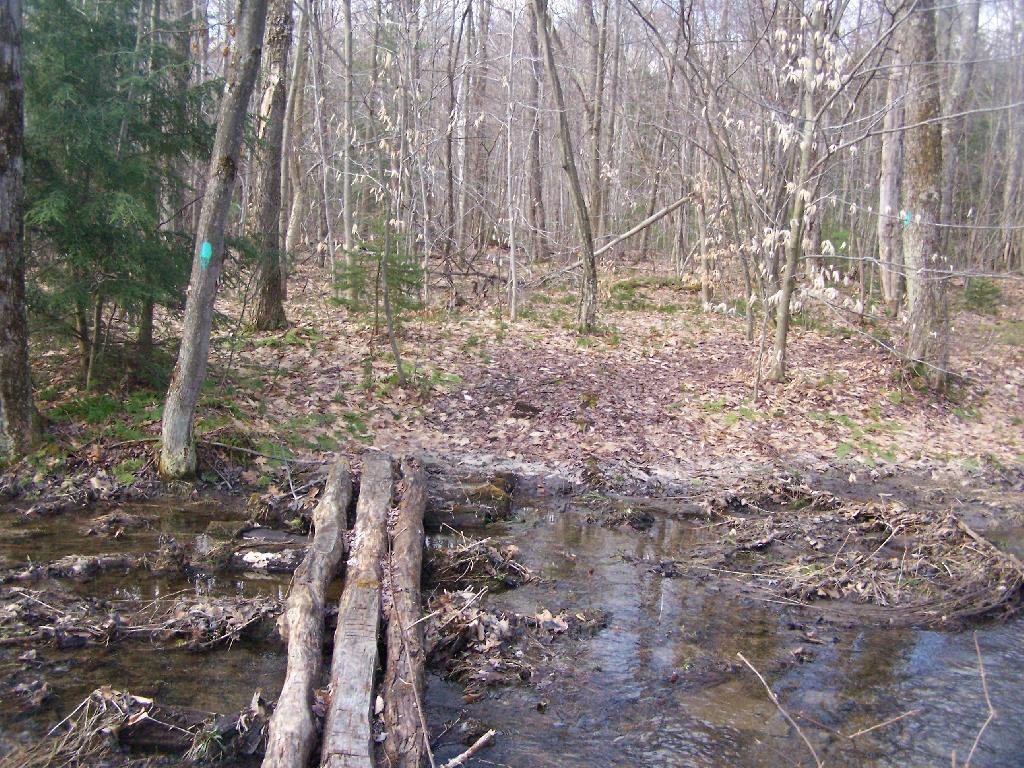
Leaving the small DEC pull-off parking area by the bridge, the trail immediately plunges into the hemlocks and starts its steady, singletrack incline. The path follows the path of Doney Hollow Brook, a beautiful mountain stream that stays right at your side as you ascend.
Because the hollow is narrow and heavily forested, it retains a wonderfully dark, isolated atmosphere even on a bright summer afternoon. Depending on the season, the brook breaks over the rocks in a series of small, mossy cascades and sharp shelf waterfalls that make the steady climb feel effortless.
Ghost Signs of the 19th Century
What makes Doney Hollow truly special is how the wilderness has reclaimed what was once a bustling pocket of rural industry. Long before the state reforested these hills in the 1930s, early-to-mid-1800s settlement families lived and worked right in this hollow.
About a mile into the hike, keep your eyes open along the brook. Nestled into the banks are the impressive, hand-stacked stone foundations of two historic water-powered sawmills. One of these mills was operational well into the 1920s, processing the heavy timber pulled from these steep ridges. Walking past these massive, moss-covered stones makes you appreciate the sheer grit it took to operate a mill in such a rugged landscape.
As you push further up towards the highlands of Burnt Hill, the woods are lined with miles of old stone walls cutting through the second-growth forest, mixed with hidden cellar holes and weathered headstones on the old historic paths.
Logistics for the Trail
- Getting There: Take NY Route 30 to North Blenheim, turn onto West Kill Road, and drive roughly 2 miles until you cross the bridge for Doney Hollow Brook. The trailhead pull-off is right there.
- The Terrain: Expect a moderate, continuous uphill burn on the way in. If you follow Section 30 all the way through to West Fulton, it’s an 8.3-mile point-to-point trek with about 1,473 feet of elevation gain, but turning back at the upper sawmills makes for a perfect, shorter day hike.
- Solitude Guaranteed: Unlike the crowded peaks further south, you are highly likely to have this entire hollow completely to yourself.
Whether you’re stopping by to scout out the early history, hunt for seasonal waterfalls, or just enjoy a few hours of uninterrupted deep-woods peace, Doney Hollow delivers the exact kind of rugged simplicity that makes the Schoharie backcountry so rewarding.



![Photo: Clear and crisp [Expires September 12 2026]](/data/photo_16267_small.jpg "Photo: Clear and crisp [Expires September 12 2026]")