Escaping the Data Swamps 💿
It is barely a week since I unpacked from an eleven-day stretch in the Finger Lakes, yet the post-vacation blues have already been crushed under a landslide of city reality. This week at work was relentless. When you spend your days steering through the endless digital requests of data services, running from one engineered crisis to the next, the city begins to look less like a community and more like a high-intensity machine. From the window of a slow commuter bus, the landscape morphs into an exhausting blur of concrete infrastructure: city garbage heaps, rumbling sewage treatment works, and sprawling recycling plants. By Friday afternoon, it felt like the pavement was closing in.
I needed to get away, if only for forty-eight hours.
My mind kept drifting back to a recent trek down the back roads of Pennsylvania, where the unmistakable, heavy smell of wood and plastic smoke rose from weathered old burn barrels on the rural edges. To some, that acrid black smoke is an eyesore, but to me, it is a visceral reminder of a different kind of life—one far removed from municipal codes, sterile suburban compliance, and the collective illusion of the weekly trash pickup. It got me dreaming again of the open country, of the hills and hollows where the horizon isn’t boxed in by brick and wire.
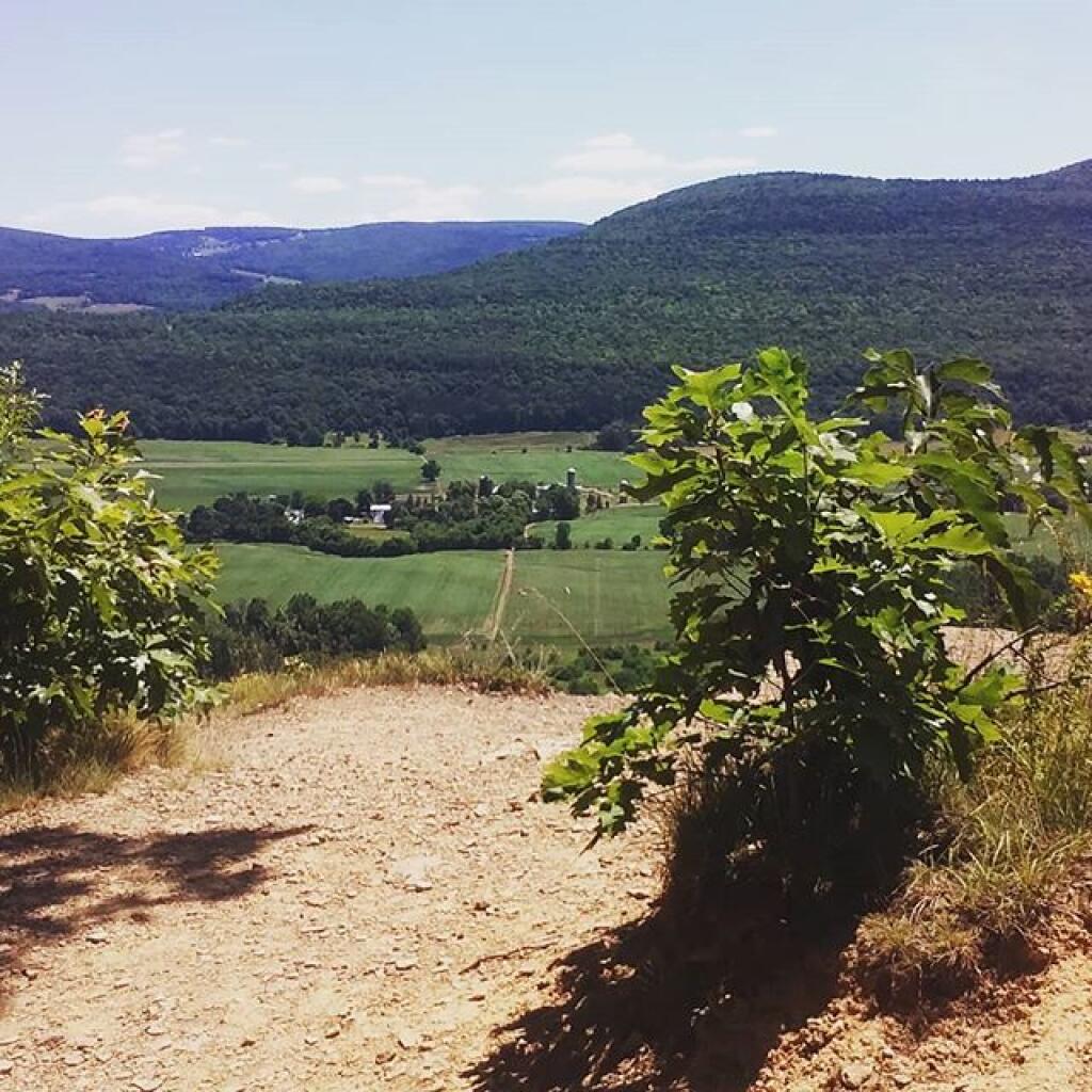
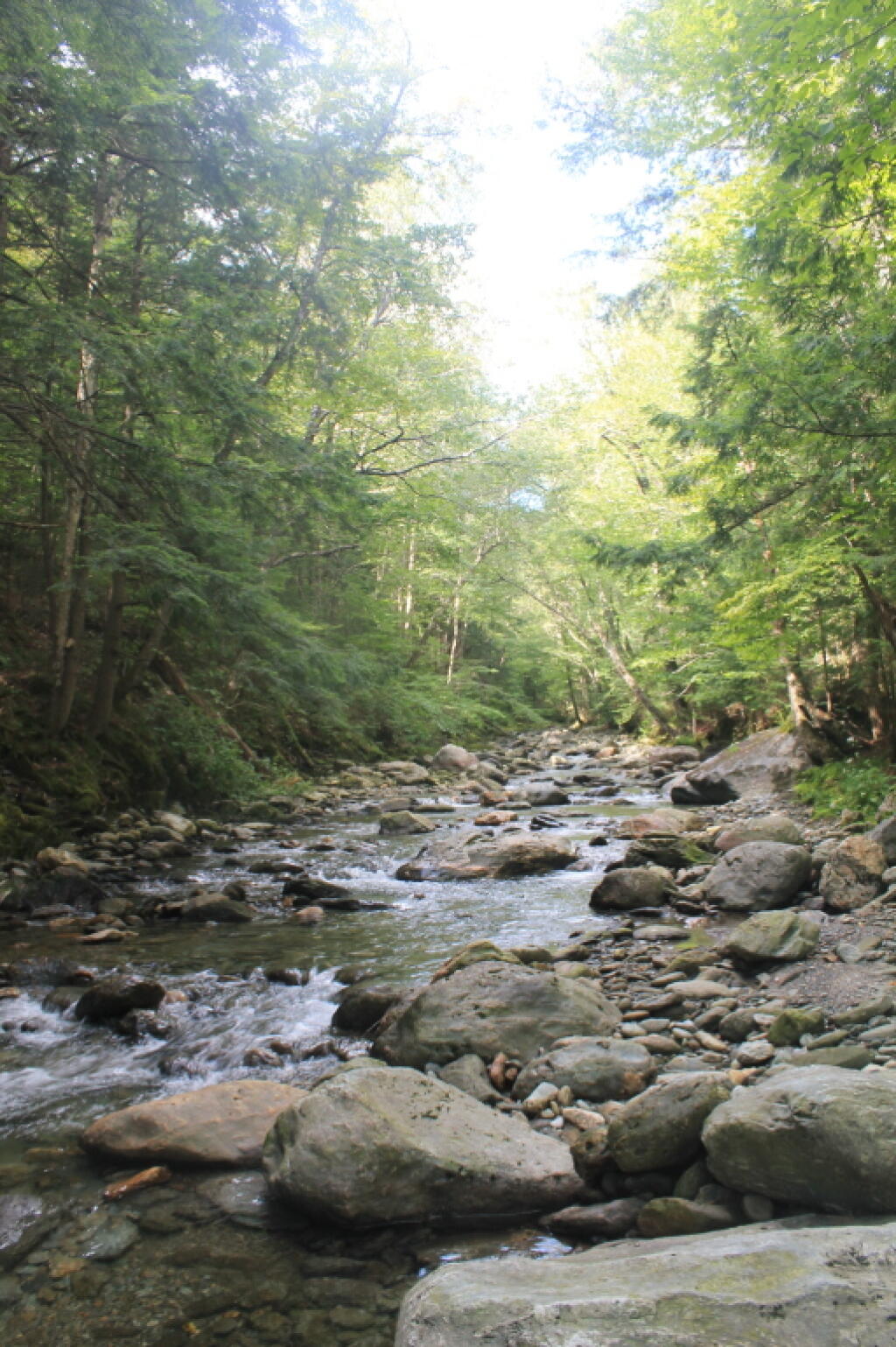
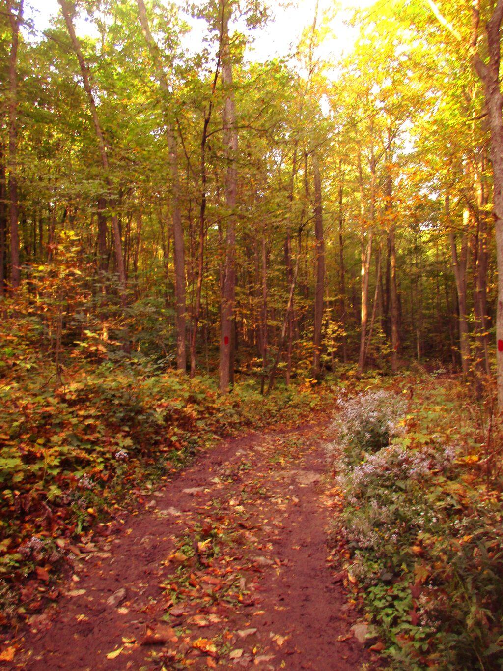
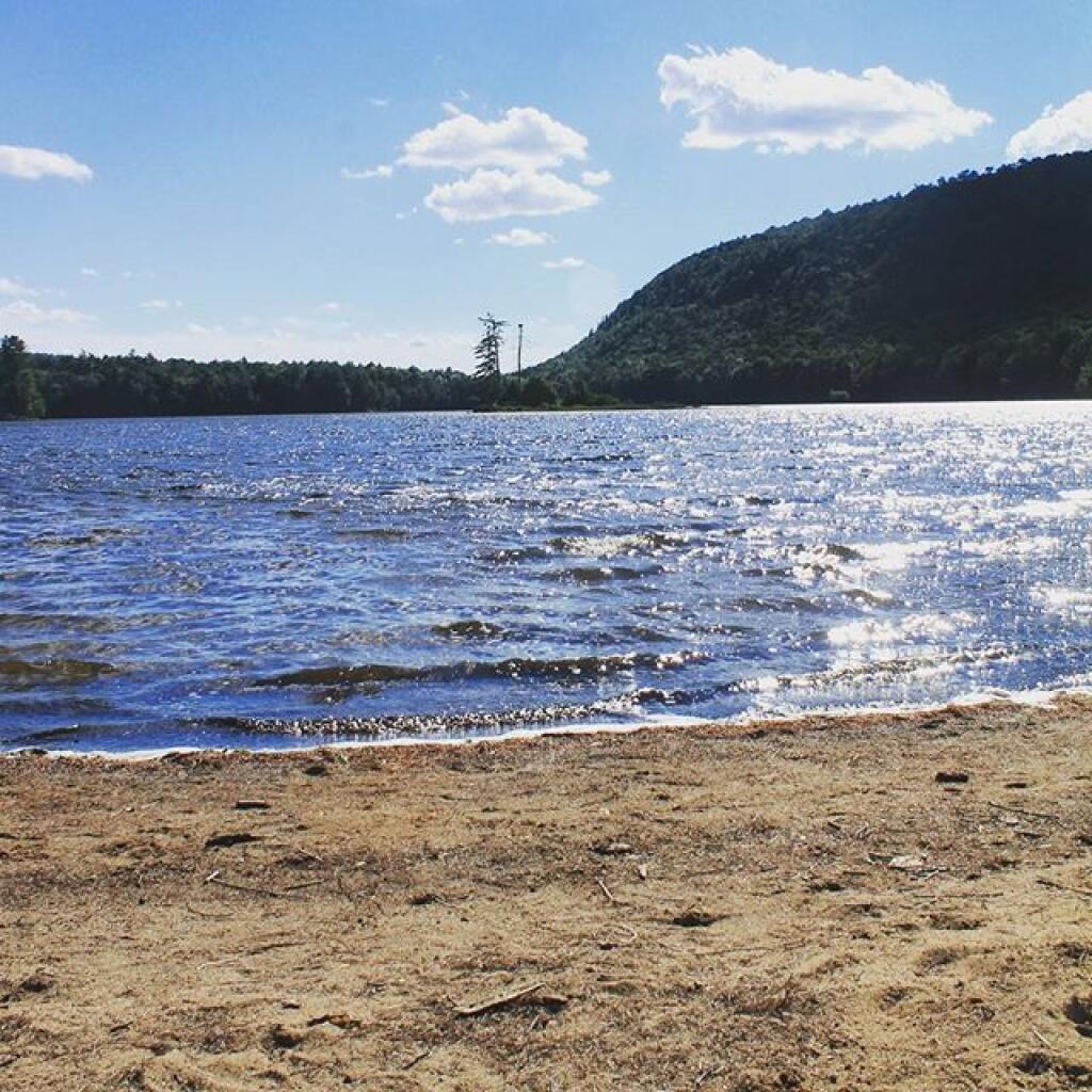
So this weekend, I packed the rig and headed for the quiet ridges of Schoharie County. Out here, the noise of backfiring cars and gridlocked traffic fades into the stillness of the state forests. There are no data streams to monitor or urgent work orders to process. There is only the rough dirt track under the tires, the prospect of a quiet campfire under a dark sky, and the deep, uncomplicated freedom of the woods. Summer is slipping away fast, but out here in the hollows, I can finally breathe again.