As I work my way over the hills and through the hollars
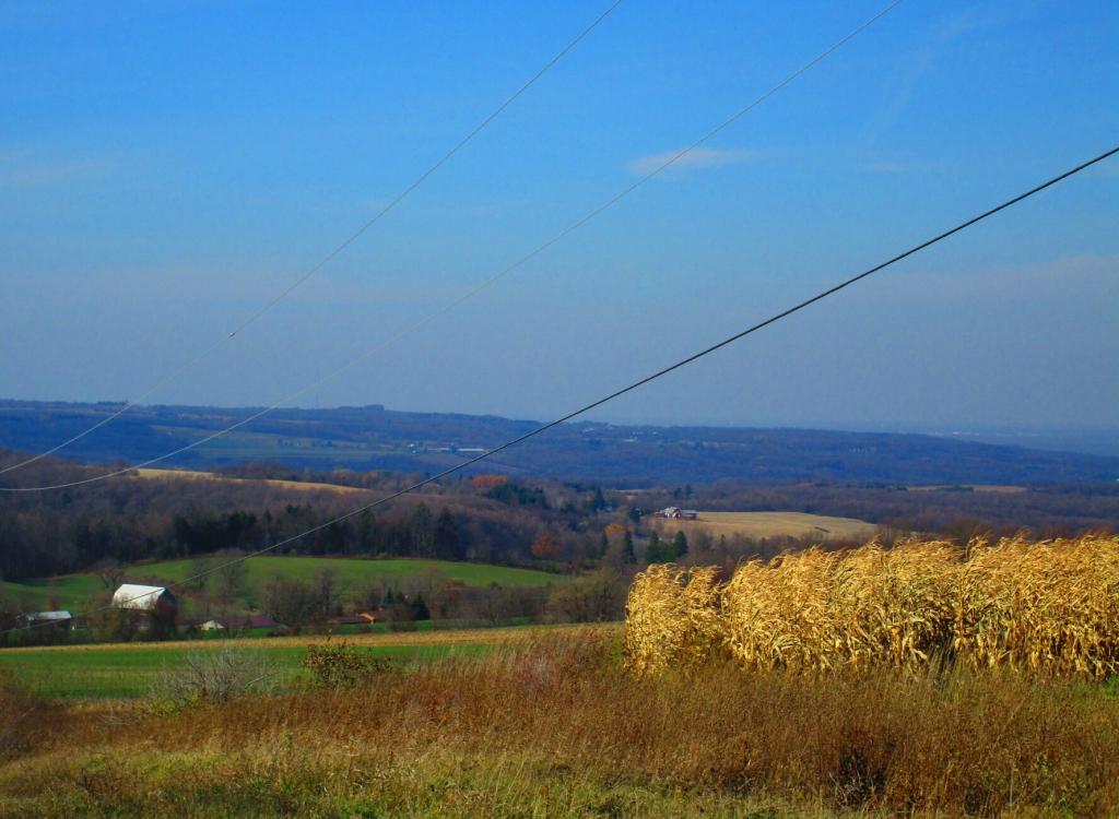
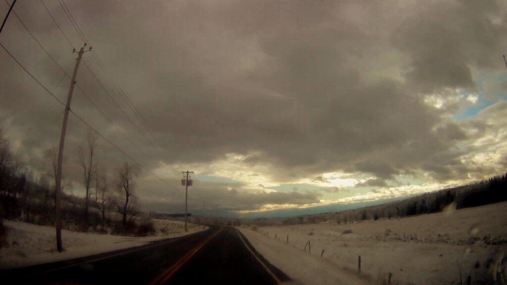
Thursday evening heading out to Betty Brook, I was heading over Barton Hill on Interstate 88, feeling the smooth power of my SuperDuty truck as it descended the mountain. I was looking at the open landscape, the farms and the hills, the Schoharie Creek as it laid below.
It’s been a long time since I’ve been in the wild country, with all winter not having a truck and then much of the spring consumed building the new rig. The open landscape, the hills, and mountains kind of touched something deeply in me. I spent a lot of the weekend just taking some of the back roads around Schoharie County – officially to get to trail heads and other places I wanted to visit but also to see and smell the landscape. The fresh cut hay and barnyards. The corn rapidly growing on the land, the blue skies above.
Maybe I’ve been spending too much time in the city lately, between the garbage heaps and sewage treatment plants and dirty dingy city buses. The rumble of the printing plant and Assembly Data Center. I needed to see the sea of green under the blue skies, the sometimes tangy smell and sounds of the farm country. The shit haulers and smokey old diesel tractors. The few rusty old burn barrels, mostly forgotten after 17 year of the burn ban. I do miss those days of my youth, but there is still Pennsylvania and my own fires.
Time marches on so quickly. But the land is old, as are many of the farm families. Cows are still cows, crops still crops. Much farm machinery is decades old, but still serves it’s process. Indeed, there is so much peace found coming to Betty Brook and noting how little has changed even as the decades have come and gone. Much of what was when I was in my twenties is still the same in my forties. I do like and dream of the homesteading and farm life, the connection to the natural world, even if I do live in the city and only take the SuperDuty out to country.