Where Am I?

By default this page shows you based on the position given by your browser.

But this small javascript / leaflet app allows you to drag around your mouse, and it will query the State Address Management system used by Next Generation 911 and many others to get a street addressed based on the location the balloon is pointing at.

https://andyarthur.org/property/where_am_i.html

Map: Alma Pond
Map: Dobbins Memorial State Forest
Map: Little John Wildlife Management Area
Map: Otter Lake
Map: South Hill State Forest (Oneida 23)
Map: Summer Hill State Forest
Map: West Parishville State Forest
SVGZ Graphic: albany-snow-depth
SVGZ Graphic: college-rate
SVGZ Graphic: december-holidays
SVGZ Graphic: ht2025
SVGZ Graphic: lt2025
SVGZ Graphic: Places Named Bethlehem
SVGZ Graphic: Towns with Most Similiar Land Cover to the Town of Bethlehem
Terrain Map: Happy World Milk Day!
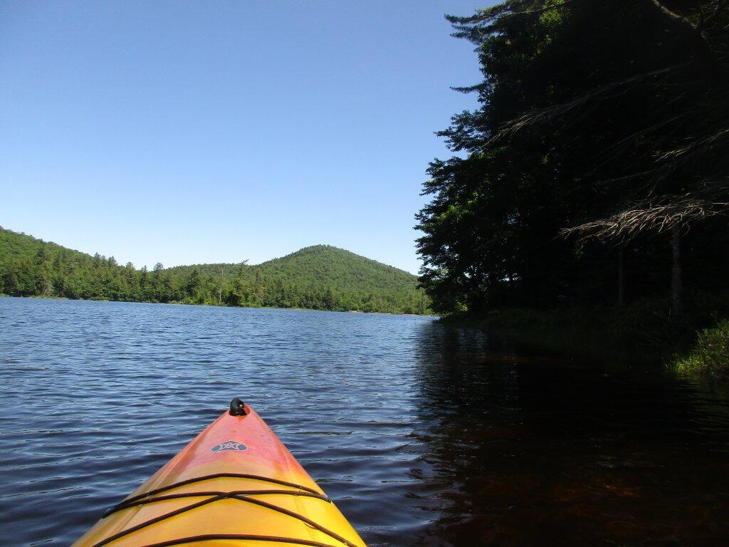
Photo: Out On Moss Lake
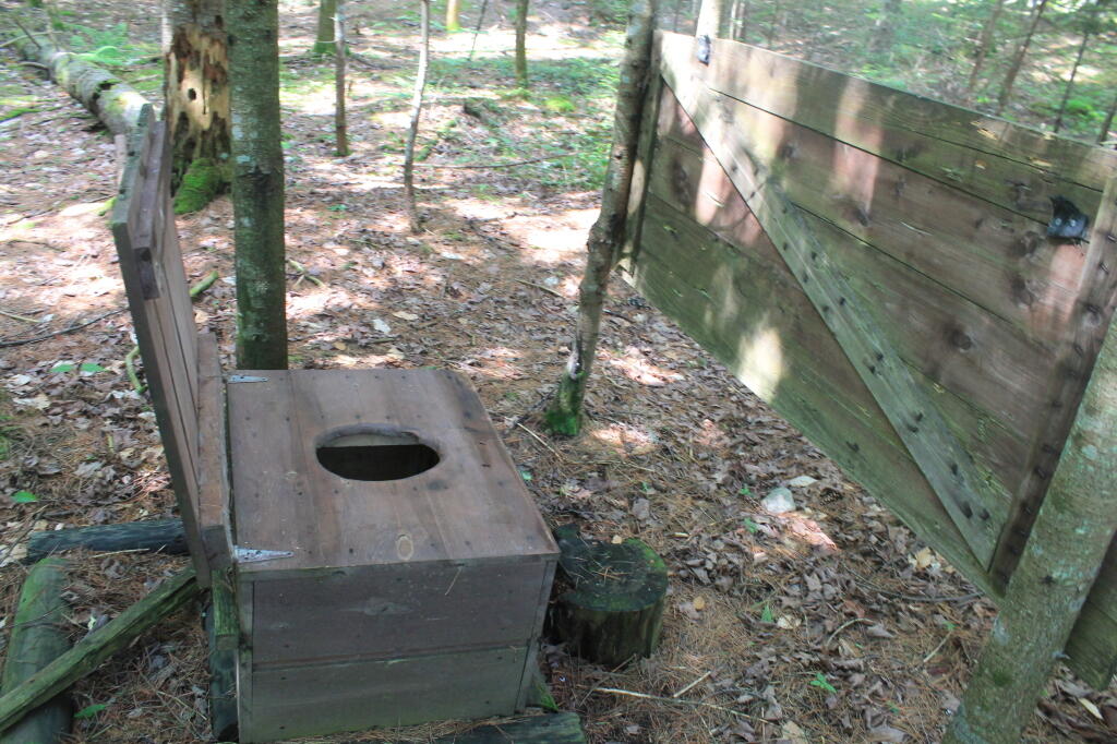
Photo: Open Air Out House
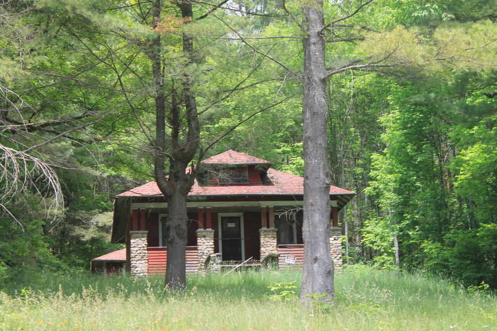
Photo: Cabin at Santonani Farm
Photo: North
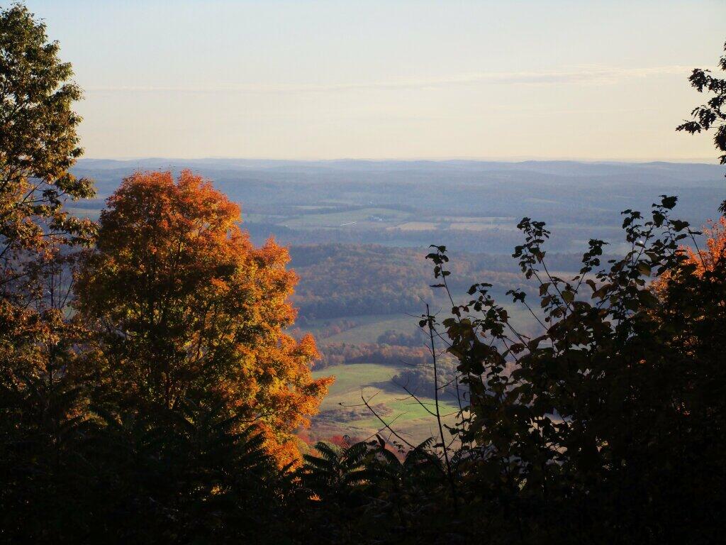
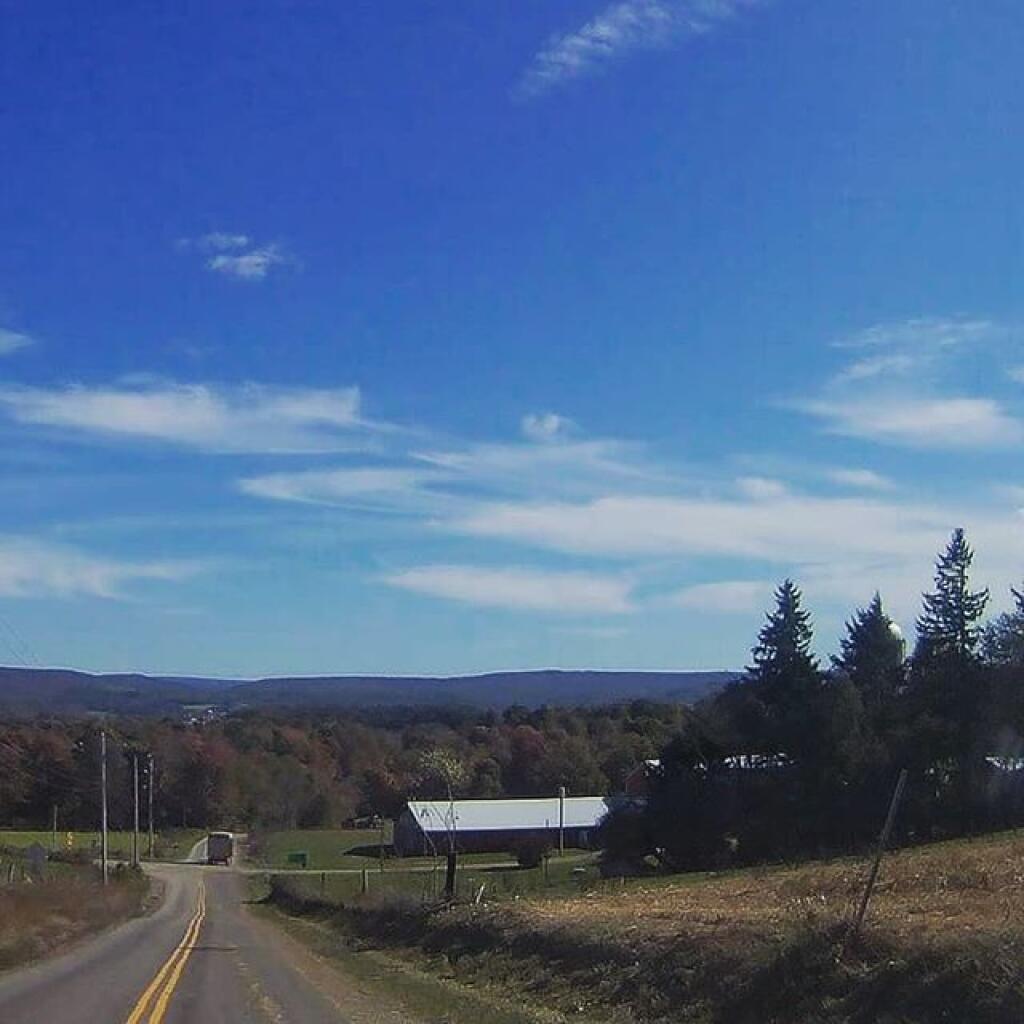
Photo: Farm Country
Photo: Placid
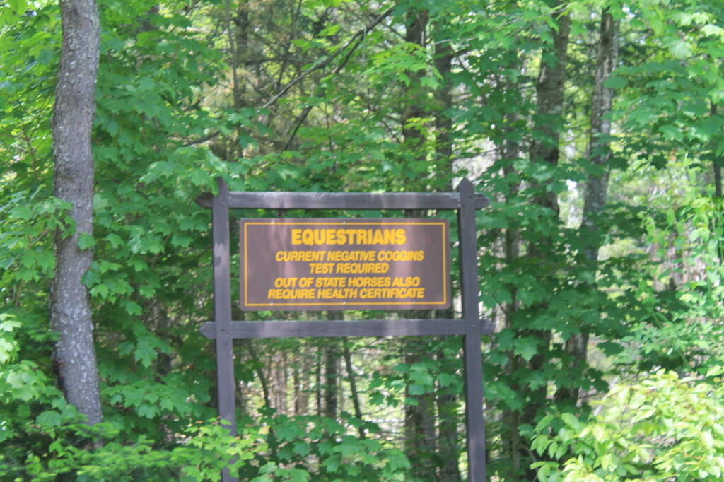
Photo: Equestrarians Sign
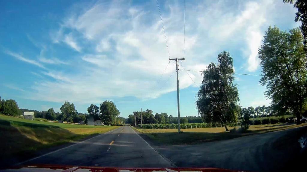
Photo: Wine Country 🍷
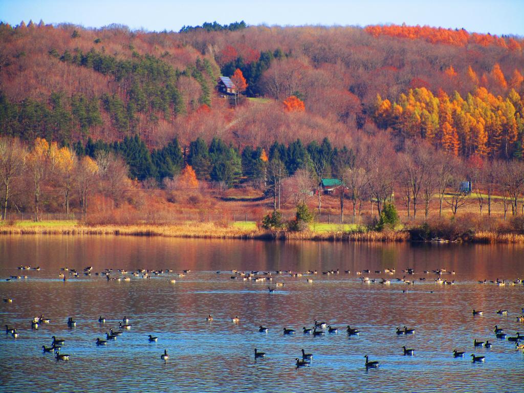
Photo: Lots of Geese on Woodsman Pond
Photo: East 2

Leave a Reply

Your email address will not be published. Required fields are marked *