US 119 to Punxsutawney! 🐮 🐻 🏭 🛢️

That is not a very straight road, it winds back and forth so many times south from Dubois through little hick towns like Stump Creek and Big Sandy, along the Mahoning Creek, past the GOB piles and coal trucks, paper plants, dairies, coal-heated houses and smoldering burning barrels. There is a big coal yard in Punxsutawney and Gobblers Knob is about a mile south of borough.

Map: Alma Pond
Map: Dobbins Memorial State Forest
Map: Little John Wildlife Management Area
Map: Otter Lake
Map: South Hill State Forest (Oneida 23)
Map: Summer Hill State Forest
Map: West Parishville State Forest
SVGZ Graphic: albany-snow-depth
SVGZ Graphic: college-rate
SVGZ Graphic: december-holidays
SVGZ Graphic: ht2025
SVGZ Graphic: lt2025
SVGZ Graphic: Places Named Bethlehem
SVGZ Graphic: Towns with Most Similiar Land Cover to the Town of Bethlehem
Terrain Map: Happy World Milk Day!
Photo: Sun
Photo: Breakfast
Photo: Guilderland Town Planning Board Protest
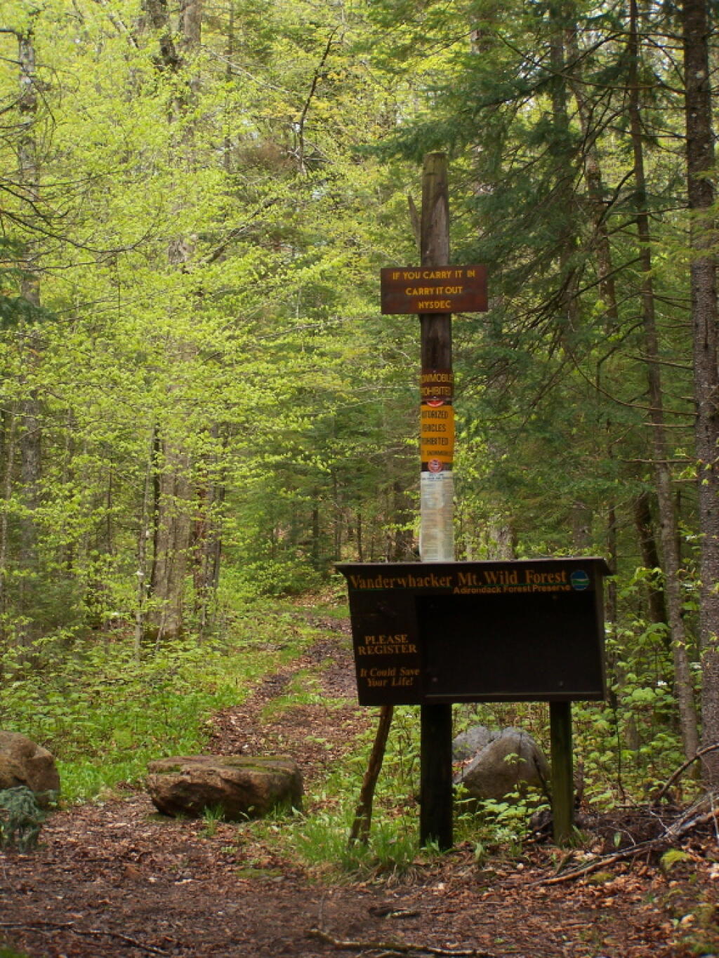
Photo: Vanderwhacker Trail
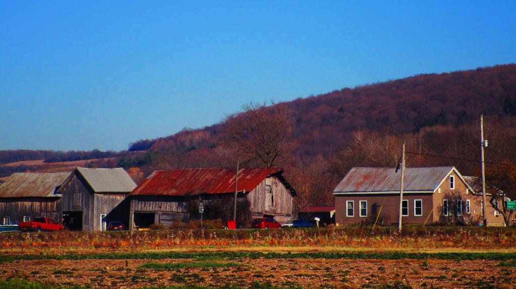
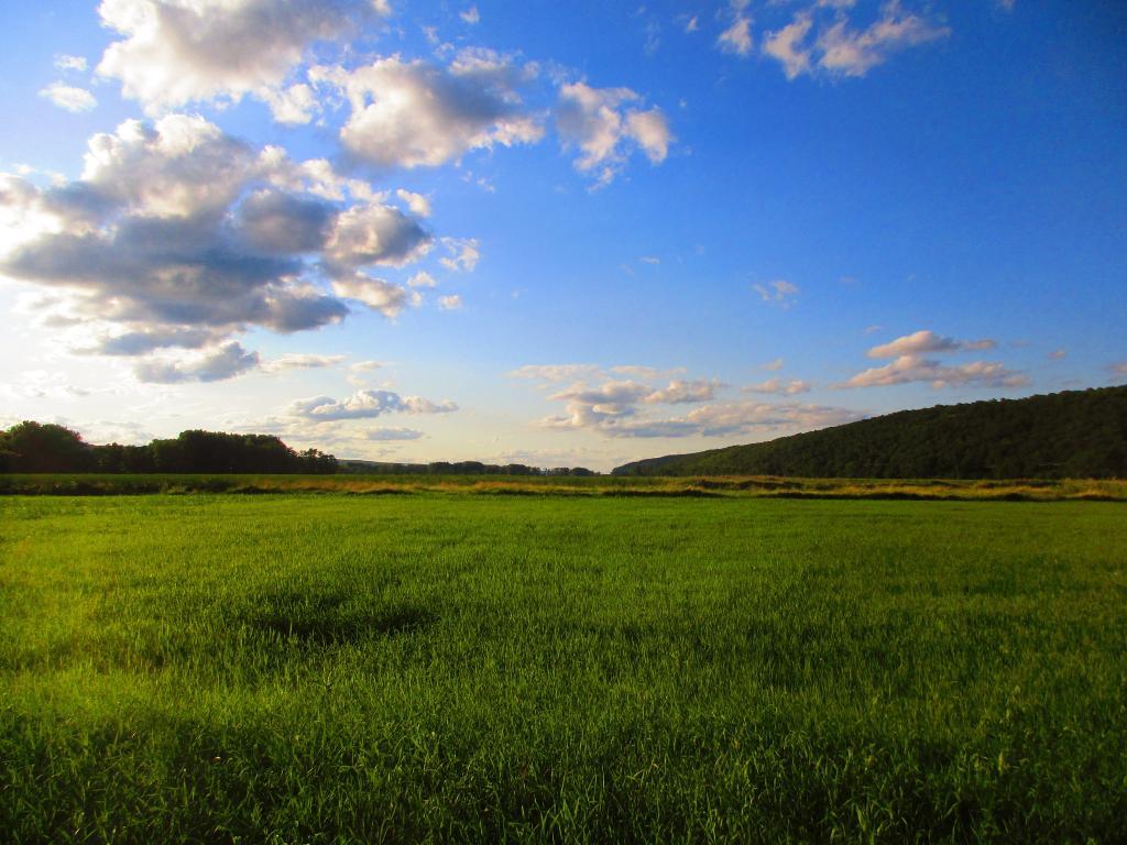
Photo: Farm Along NY 12B
Photo: Along the way
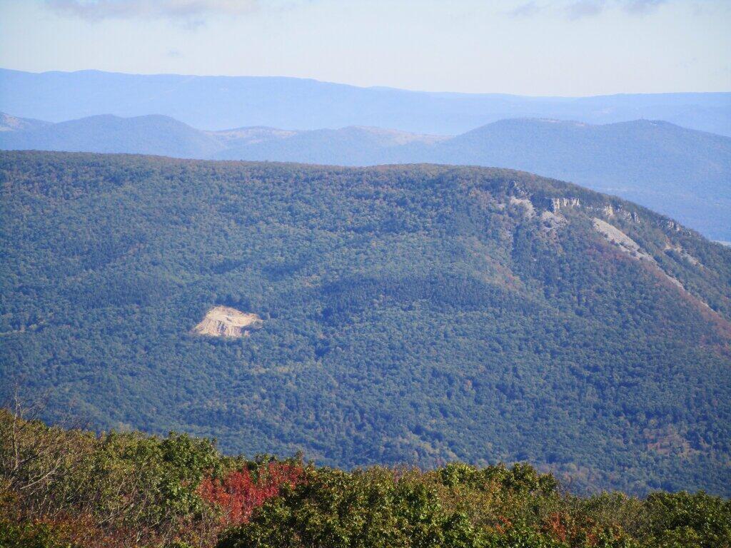
Photo: GOB Piles On North Mountain
Photo: Red skies at night...
Photo: Fountain
Photo: Evening at Catharine Creek Marsh

Leave a Reply

Your email address will not be published. Required fields are marked *