GIS Day 🗺️

Today, the fourth Wednesday of November is GIS Day, a holiday put together by ESRI and professional geographers to celebrate the art and science of place and map making.

I am just pausing to think what an amazing world we live in with remote sensing, open source software and government data that makes it possible for anyone who wants to sit down and learn to use free tools to explore our world, and how place interacts with other places. To process vast amounts of data and find answers based on position and characteristic.

Map: Alma Pond
Map: Dobbins Memorial State Forest
Map: Little John Wildlife Management Area
Map: Otter Lake
Map: South Hill State Forest (Oneida 23)
Map: Summer Hill State Forest
Map: West Parishville State Forest
SVGZ Graphic: albany-snow-depth
SVGZ Graphic: college-rate
SVGZ Graphic: december-holidays
SVGZ Graphic: ht2025
SVGZ Graphic: lt2025
SVGZ Graphic: Places Named Bethlehem
SVGZ Graphic: Towns with Most Similiar Land Cover to the Town of Bethlehem
Terrain Map: Happy World Milk Day!
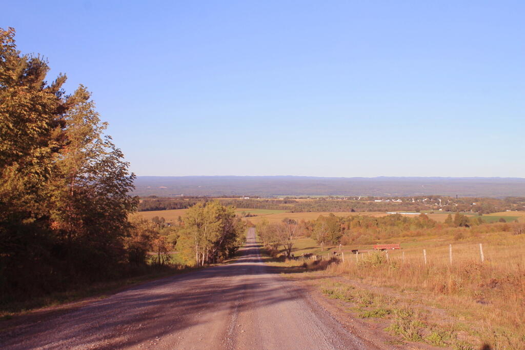
Photo: Keener Hill Road
Photo: With the rumbles of thunder and the radar I decided to turn back
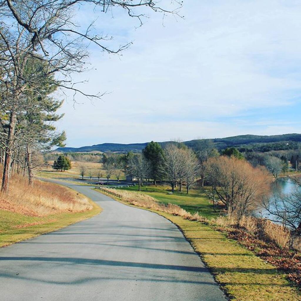
Photo: Roadway at Glimmerglass
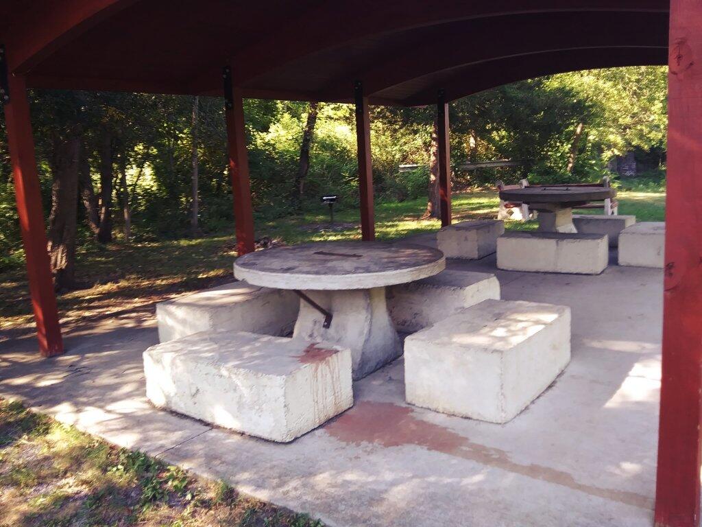
Photo: Durable Yes
Photo: There's a bunch of dead ash trees on the hills all over Western Pennsylvania
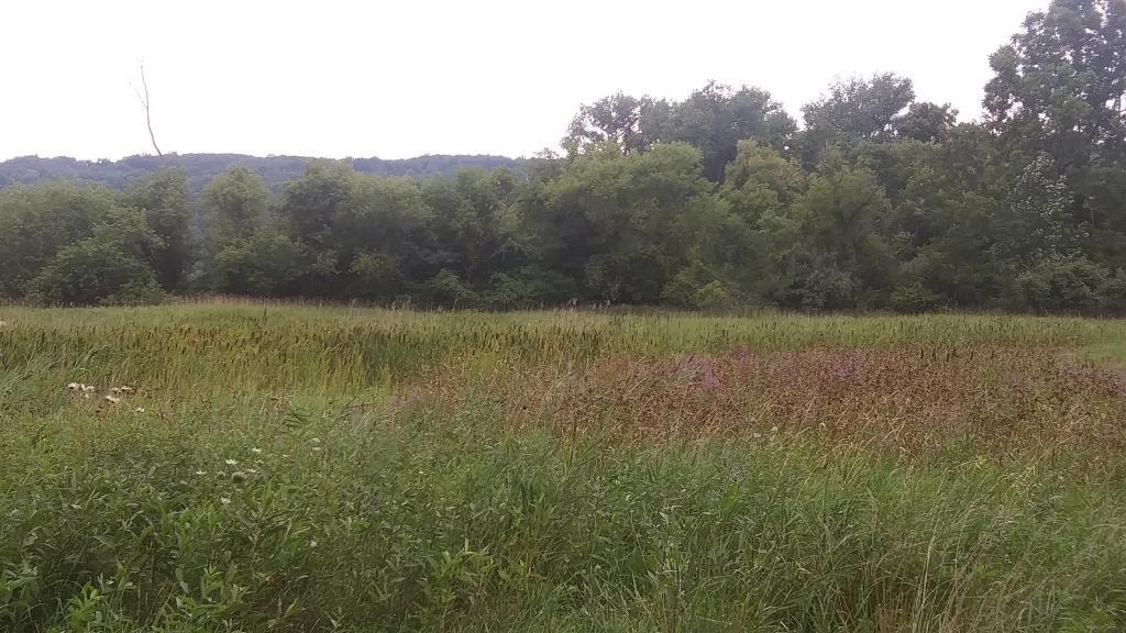
Photo: From the Board Walk - Wide Screen
Photo: Vlomans Kill this afternoon
Photo: Edge of Tower
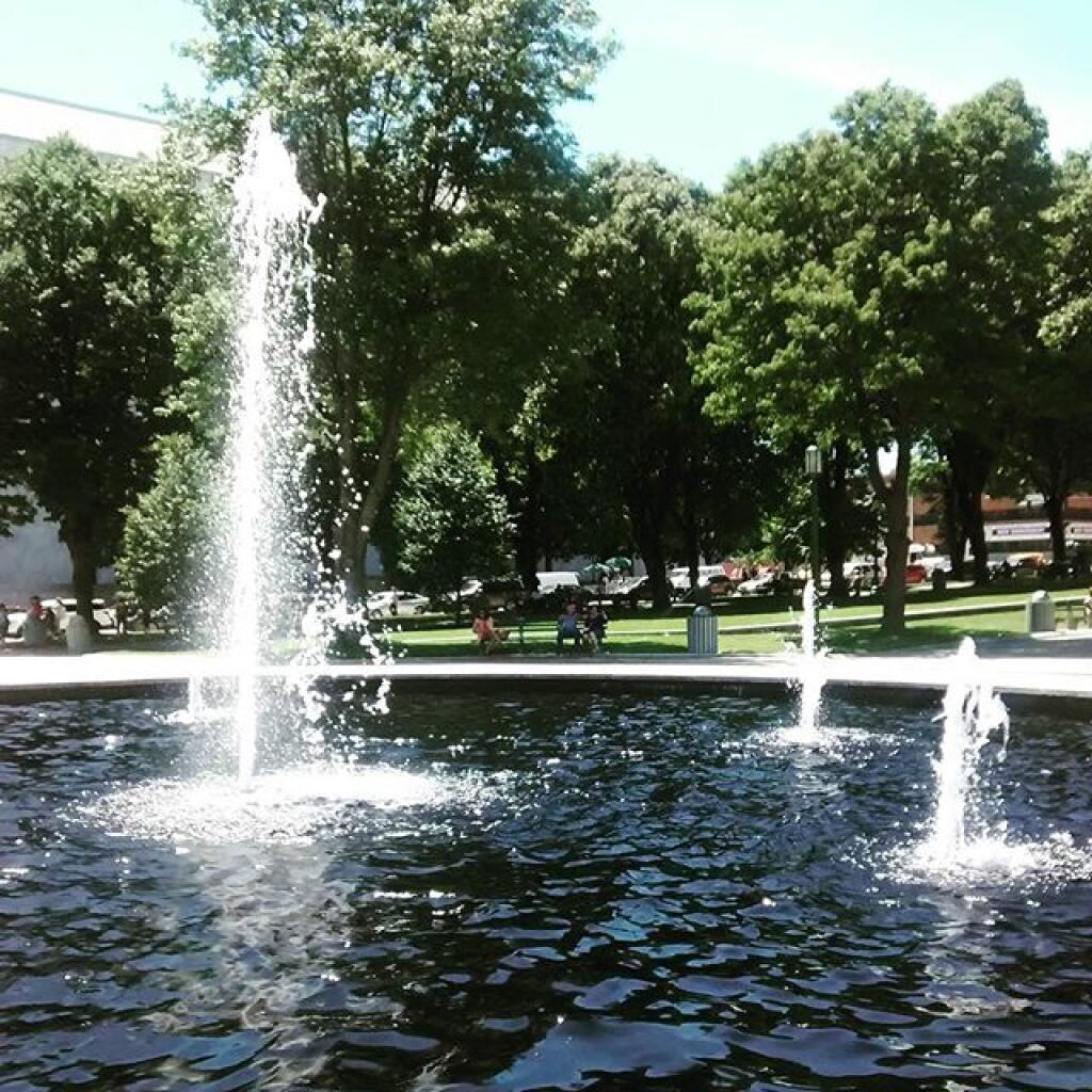
Photo: Fountain
Photo: Later In The Morning

Leave a Reply

Your email address will not be published. Required fields are marked *