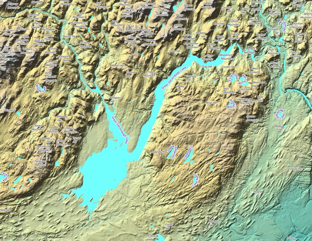
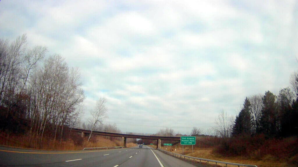
South Glens Falls Exit 17 – Northway and US 9 Interchange Reconfiguraton 🗺️
About South Glens Falls Exit 17 - Northway and US 9 Interchange Reconfiguraton ....
Elimination of the dangerous cloverleaf and reduction of underused lanes on the bridge crossing the Northway. Some directions are a bit slower, but the longer acceleration lanes and removal of weaving conditions makes it better and safer for drivers.
Helpful Hint: While I suggest you look on blog for a downloadable PDF Map, you should be able to print or save this map by clicking the print button on the map above.
Data Sources
Road Trip to Coal Country by Nate Matthews - You can download the KMZ File used in creation of this map.
NY Aerial (2020) - High-resolution aerial photography from NYSGIS, photos taken with leaves off in spring time between the years 2016-2020. NYSGIS. WMS Service: https://orthos.its.ny.gov/ArcGIS/services/wms/Latest/MapServer/WMSServer, Layer: 0,1,2,3
NY Aerial (1995) - High-resolution aerial photography from National Agricultural Photograph Program taken between 1994 and 1998. These are false color images. NYSGIS. WMS Service: https://orthos.its.ny.gov/arcgis/services/wms/napp/MapServer/WMSServer, Layer: 0
3DEP Elevation Hillshade. LIDAR and legacy USGS DRG Topo Derived hillshades used as a background. DEM - WMS Service: https://elevation.nationalmap.gov/arcgis/services/3DEPElevation/ImageServer/WMSServer, Layer: 3DEPElevation:Hillshade Gray
Full List of WMS and ArcMap Services - CSV Spreadsheet with all web map services currently used on the blog.
More about Saratoga...