Rockwood State Forest Campsites

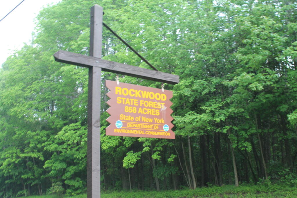
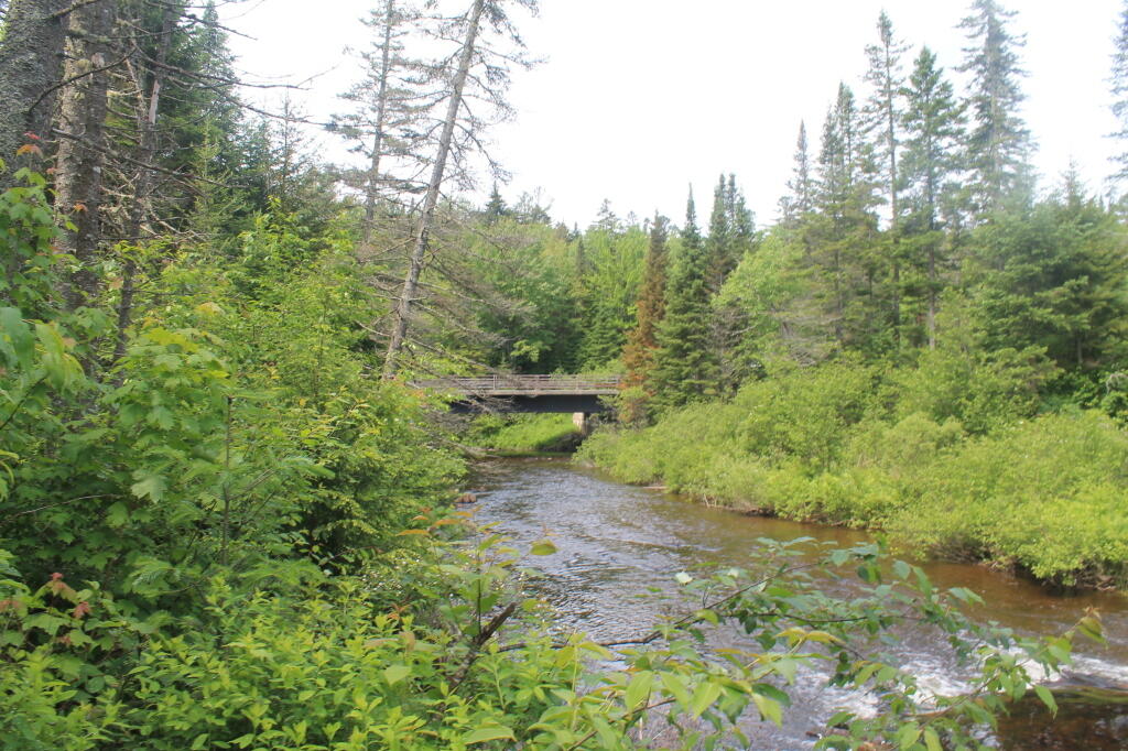
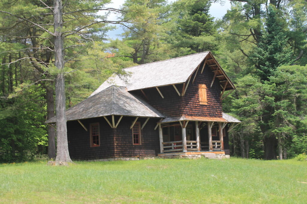
Rockwood State Forest Sign

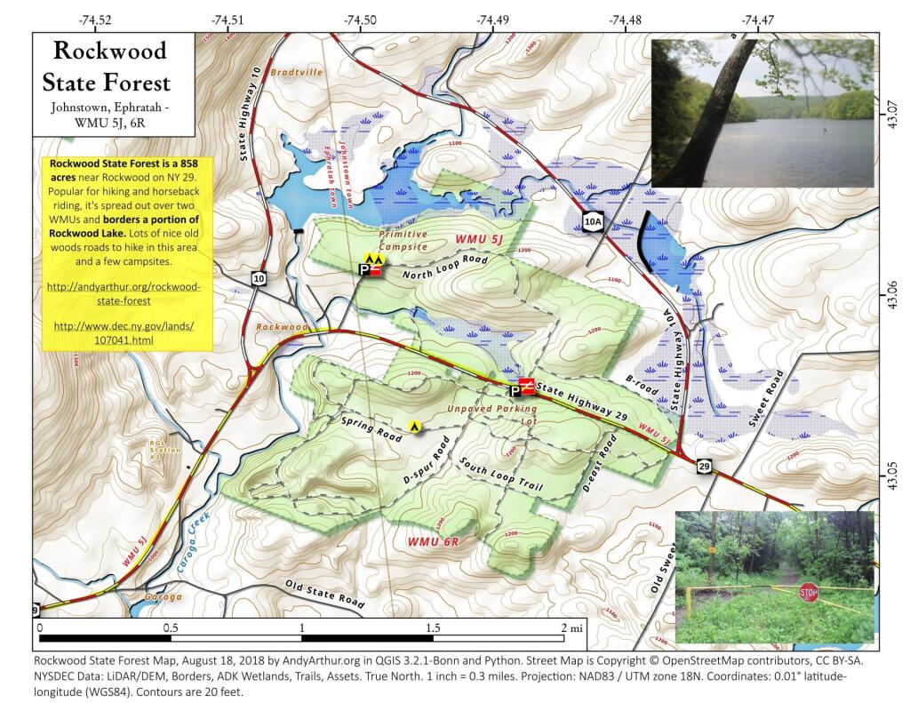
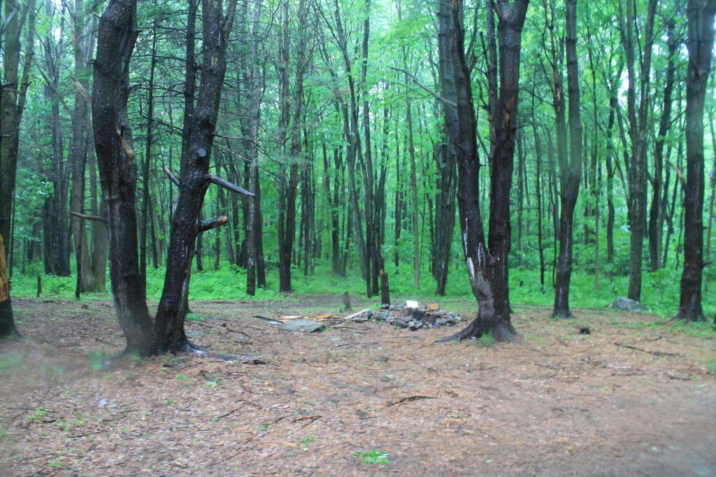
Rockwood State Forest has a series of tent sites, with a grouping of them just beyond the parking area at the end of Cementery Road Extension in the hamlet of Rockwood off NY 29. The Cemetery Road Extension Campsites are grouped together, and are at the top of an old woods road that in a 1/4 mile takes you down to a rope and popular jumping off place into Rockwood Lake.

CampsiteLatitudeLongitude
Cemetery Road Extension Campsite 143.0621351773592-74.4993814241692
Cemetery Road Extension Campsite 243.0621245296219-74.4986523615536
Cemetery Road Extension Campsite 443.0629751549557-74.4983477953893
Cemetery Road Extension Campsite 343.0631120224988-74.4988392425663
Spring Road Campsite43.0529008007071-74.4960966855737

 Rockwood State Forest

Rockwood Lake Designated Campsite

Map: Alma Pond
Map: Dobbins Memorial State Forest
Map: Little John Wildlife Management Area
Map: Otter Lake
Map: South Hill State Forest (Oneida 23)
Map: Summer Hill State Forest
Map: West Parishville State Forest
SVGZ Graphic: albany-snow-depth
SVGZ Graphic: college-rate
SVGZ Graphic: december-holidays
SVGZ Graphic: ht2025
SVGZ Graphic: lt2025
SVGZ Graphic: Places Named Bethlehem
SVGZ Graphic: Towns with Most Similiar Land Cover to the Town of Bethlehem
Terrain Map: Happy World Milk Day!
Photo: There's a bunch of dead ash trees on the hills all over Western Pennsylvania
Photo: Yellow Astor
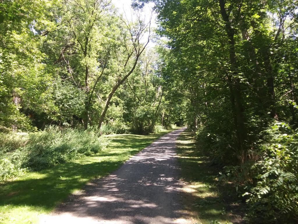
Photo: Nice quiet trail along the creek
Photo: Cannon
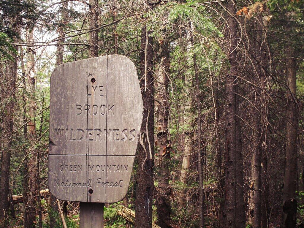
Photo: Entering The Lye Brook Wilderness
Photo: Through a Window
Photo: Autumn
Photo: NY 28 / Boreas River Bridge
Photo: Black Eye Susans are out
Photo: House

Leave a Reply

Your email address will not be published. Required fields are marked *