Lately blog revenue has been in crapper 💩

It’s the weather and I’ve not been updating the blog as much as I’ve been sick with COVID and working on other projects. Blog traffic always dries up in the winter, as most people come here in summer months looking for places to hike and camp. Plus my adventures are always so much better in the summer months, with much of what I post this time of year, merely reheated old junk.

Map: Alma Pond
Map: Dobbins Memorial State Forest
Map: Little John Wildlife Management Area
Map: Otter Lake
Map: South Hill State Forest (Oneida 23)
Map: Summer Hill State Forest
Map: West Parishville State Forest
SVGZ Graphic: albany-snow-depth
SVGZ Graphic: college-rate
SVGZ Graphic: december-holidays
SVGZ Graphic: ht2025
SVGZ Graphic: lt2025
SVGZ Graphic: Places Named Bethlehem
SVGZ Graphic: Towns with Most Similiar Land Cover to the Town of Bethlehem
Terrain Map: Happy World Milk Day!
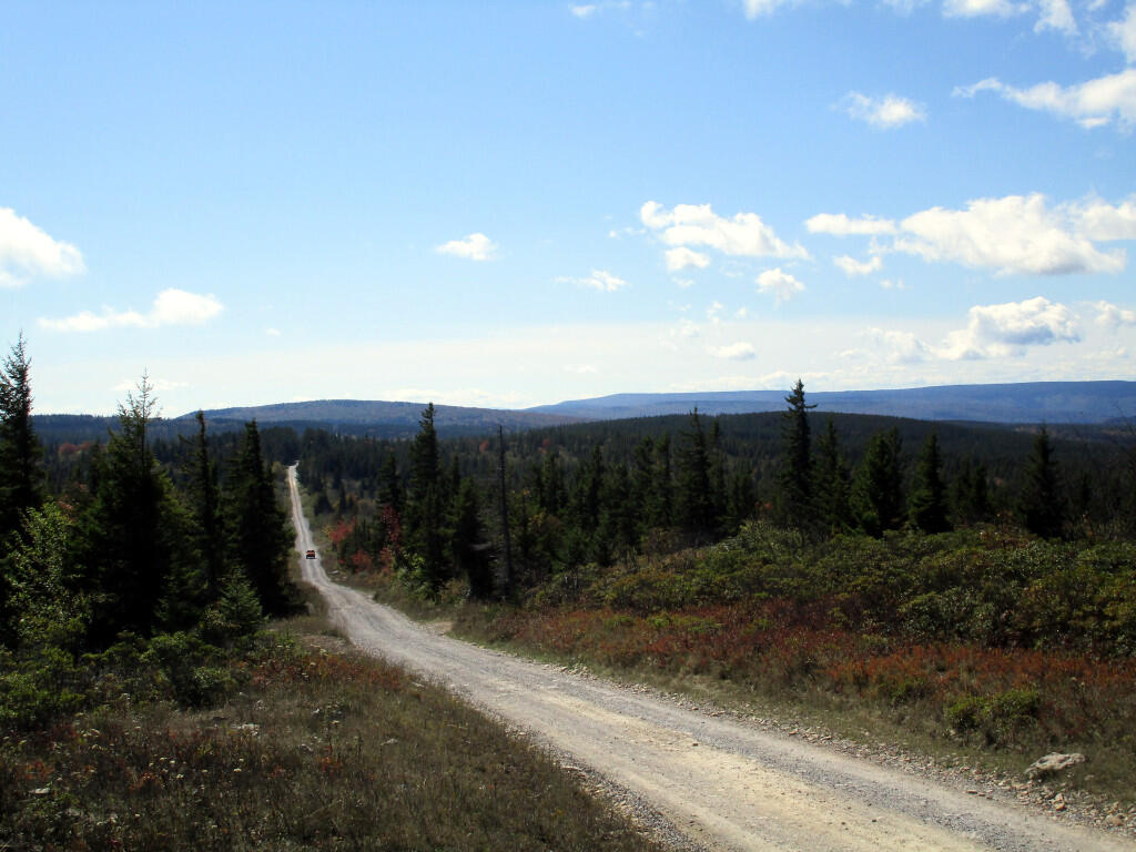
Photo: Dolly Sods Road
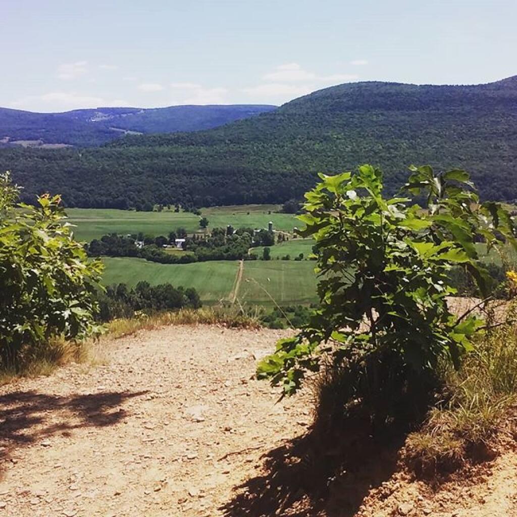
Photo: Made it to the top
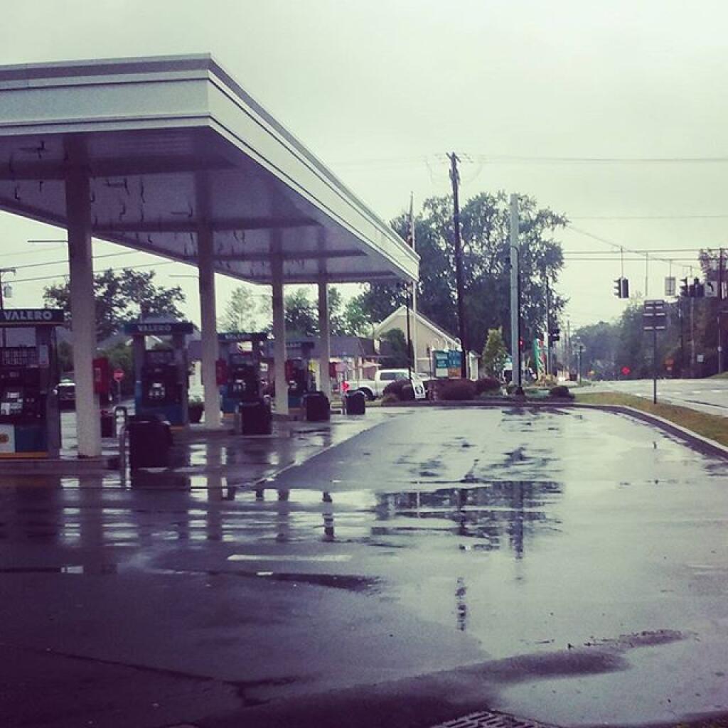
Photo: Rainy day
Photo: Happy June!
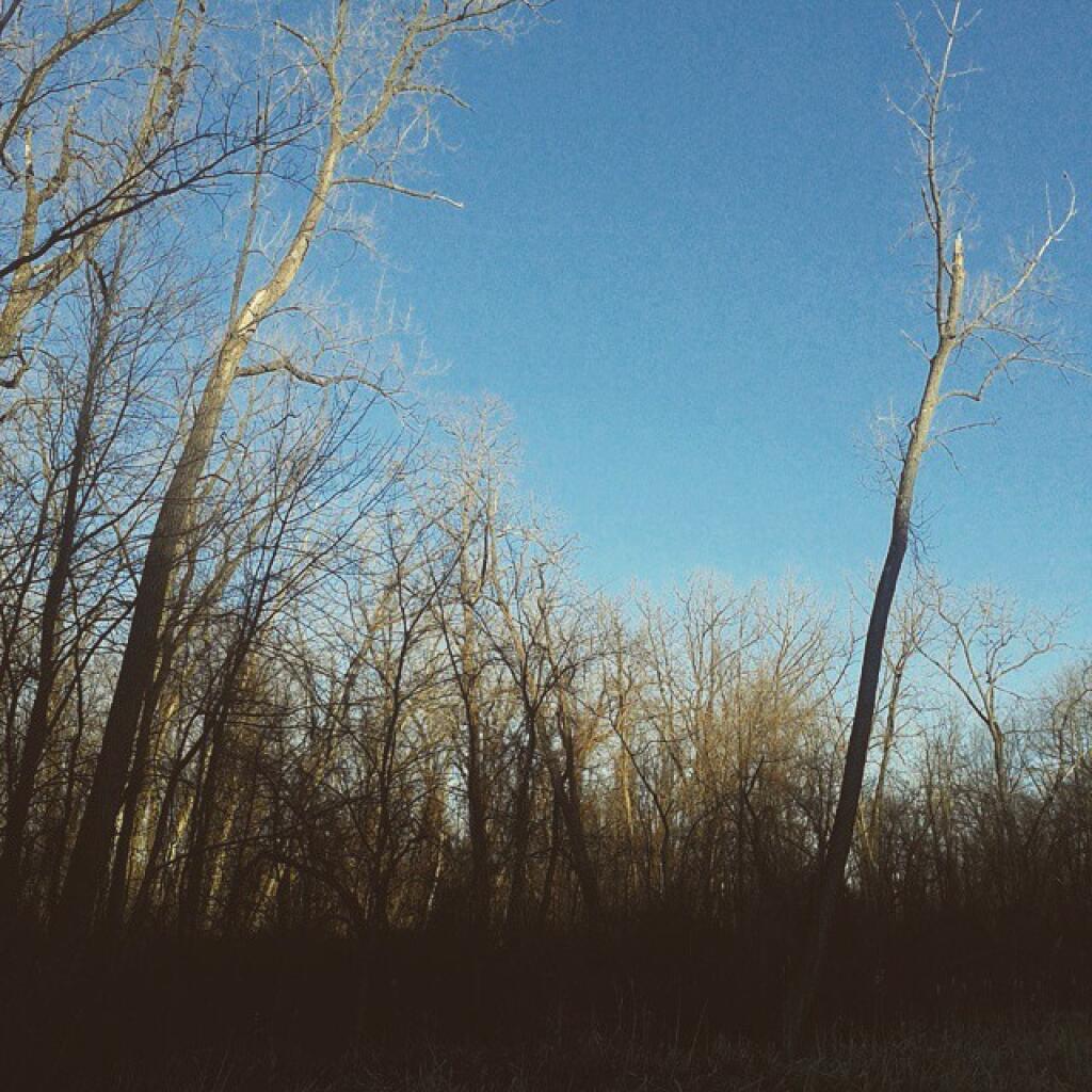
Photo: Evening sky
Photo: Sunlight
Photo: Stratton Pond Looking East
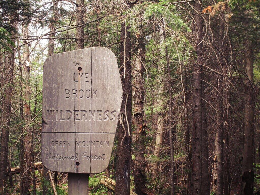
Photo: Entering The Lye Brook Wilderness
Photo: Crooked Lake House
Photo: Cold water

Leave a Reply

Your email address will not be published. Required fields are marked *