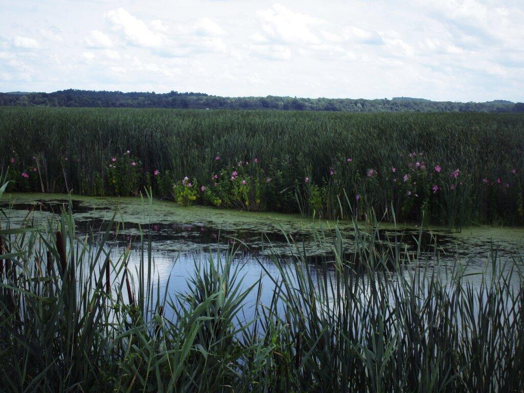
For a long time I’ve been much too fascinated by Ostico Lake Causeway 🛶

Finally made it there. No public access to the east side of the Causeway, public access only to the shorter western side. It’s pretty much just a boat launch, but I’ve always been interested in the fake Finger Lake, which really is swamp and muck lands drowned by a City of Syracuse water dam after the city’s industrialization had fouled Onondoga Lake, plus they sought out a reliable gravity fed water supply.

Was it anything more than a highly developed lake with relatively few good public access points besides the narrow causeway? Yes, and difference in water color and texture really isn’t as pronounced as aerial photos suggest. Still it was interesting to check out.

Map: Alma Pond
Map: Dobbins Memorial State Forest
Map: Little John Wildlife Management Area
Map: Otter Lake
Map: South Hill State Forest (Oneida 23)
Map: Summer Hill State Forest
Map: West Parishville State Forest
SVGZ Graphic: albany-snow-depth
SVGZ Graphic: college-rate
SVGZ Graphic: december-holidays
SVGZ Graphic: ht2025
SVGZ Graphic: lt2025
SVGZ Graphic: Places Named Bethlehem
SVGZ Graphic: Towns with Most Similiar Land Cover to the Town of Bethlehem
Terrain Map: Happy World Milk Day!
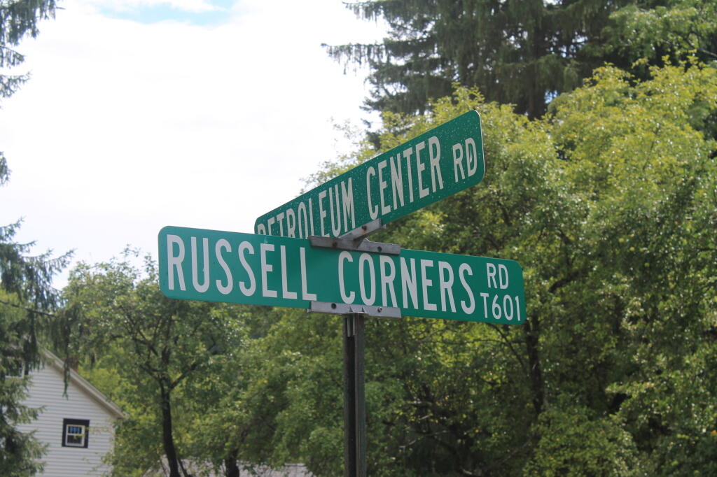
Photo: Petroleum Center, PA
Photo: Crooked Lake House
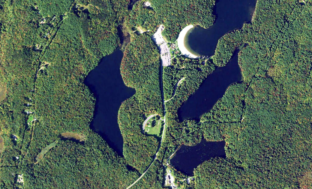
Photo: Grafton Lakes
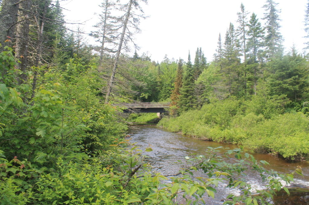
Photo: NY 28 / Boreas River Bridge
Photo: Hot And Humid Afternoon
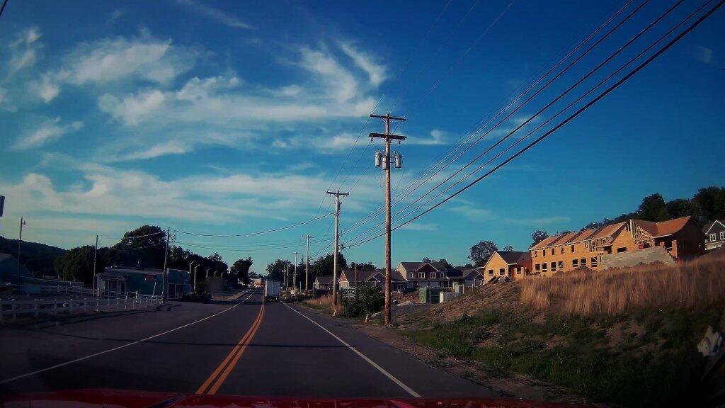
Photo: New Development
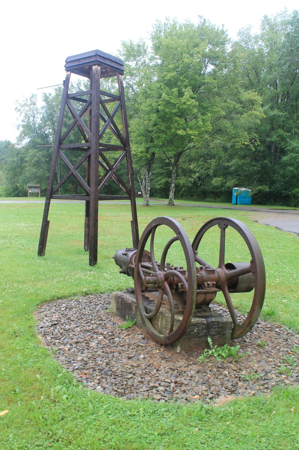
Photo: Mock Rig and Pump at Entrance to Drake Well Historic Site
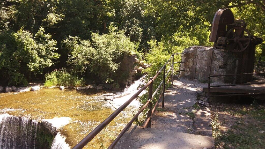
Photo: Seneca Mills Ruins
Photo: GOB Piles On North Mountain
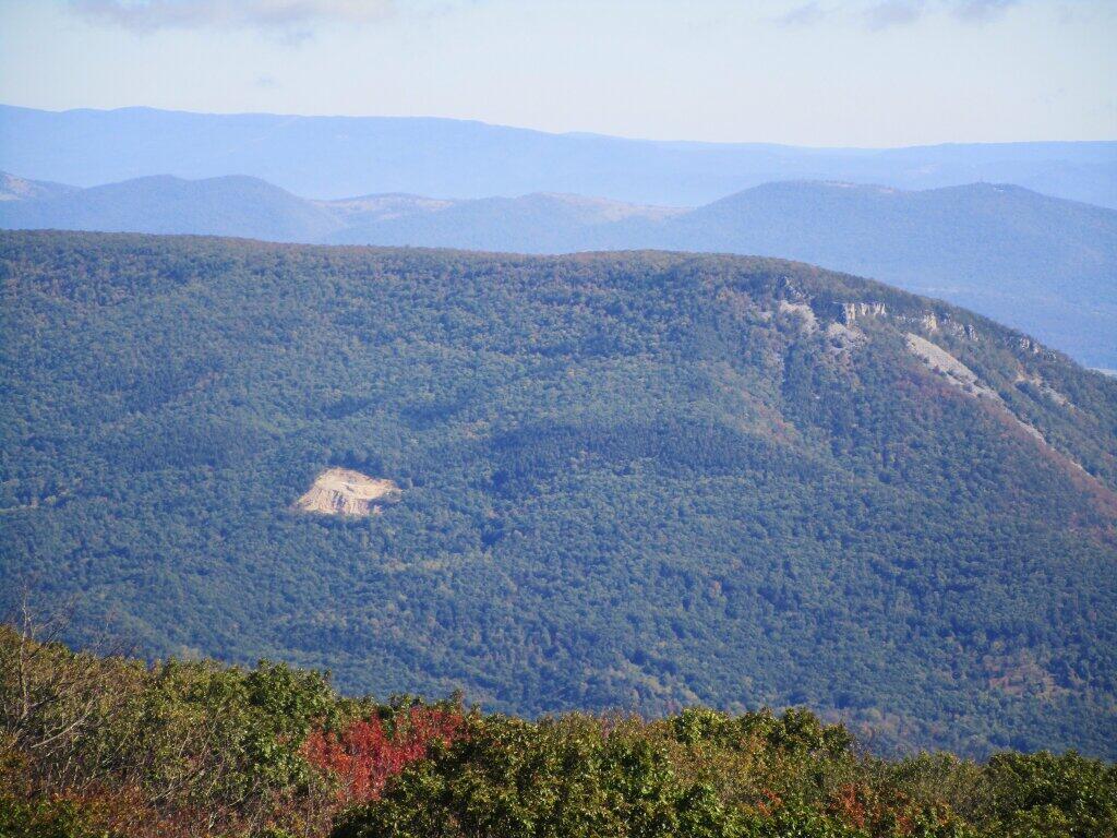
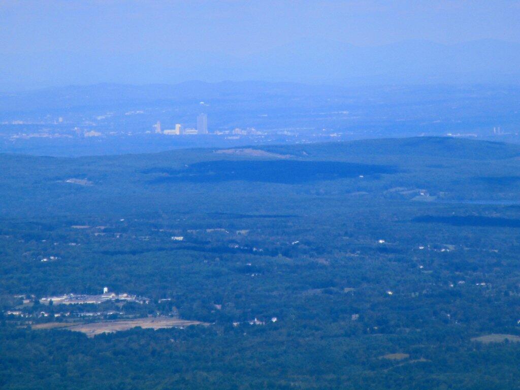
Photo: Albany From Windham High Peak

Leave a Reply

Your email address will not be published. Required fields are marked *