What’s next? β›ΊπŸ₯ΎπŸ‚πŸš΄

The next adventure, assuming the weather cooperates, is heading up to Perkins Clearing in the Adirondacks at the break of dawn to work on Friday remotely and then spend the holiday weekend around the Speculator, riding, paddling and floating maybe with a bit of sparkle from Tropical Skittlez.

Then it’s just a matter in September when the weather is nice to plan Fridays to work remote, heading up to Rennselaer State Forest or Charles Baker. I bet riding those dirt roads at night would be a lot of fun. And even into October.

Come November, after Election Day, depending on the weather I’ve been thinking about a trip up to the North Country or Horseshoe Lake. Yet that depends on how much snow there is and what my living arrangements look like by then. And how well Big Red is running at that point.

Map: Alma Pond
Map: Dobbins Memorial State Forest
Map: Little John Wildlife Management Area
Map: Otter Lake
Map: South Hill State Forest (Oneida 23)
Map: Summer Hill State Forest
Map: West Parishville State Forest
SVGZ Graphic: albany-snow-depth
SVGZ Graphic: college-rate
SVGZ Graphic: december-holidays
SVGZ Graphic: ht2025
SVGZ Graphic: lt2025
SVGZ Graphic: Places Named Bethlehem
SVGZ Graphic: Towns with Most Similiar Land Cover to the Town of Bethlehem
Terrain Map: Happy World Milk Day!
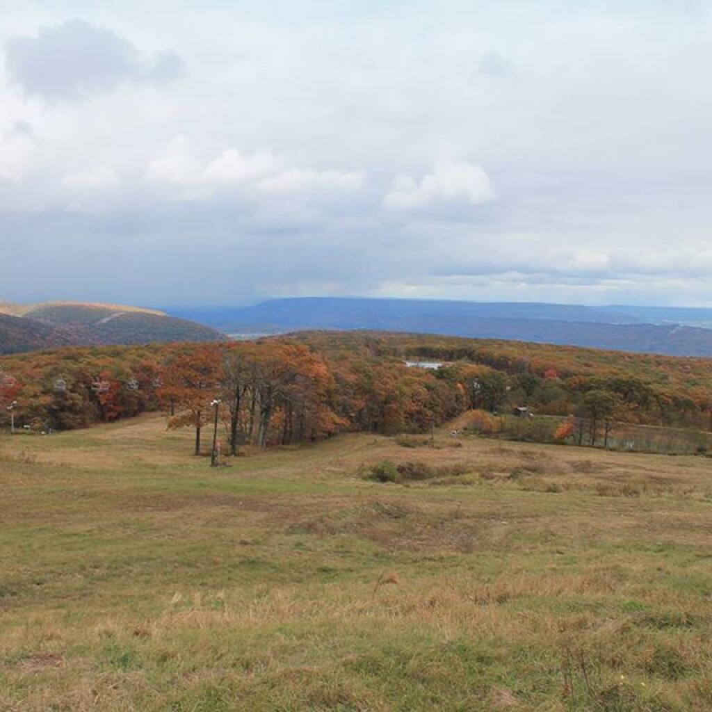
Photo: Off the ski run
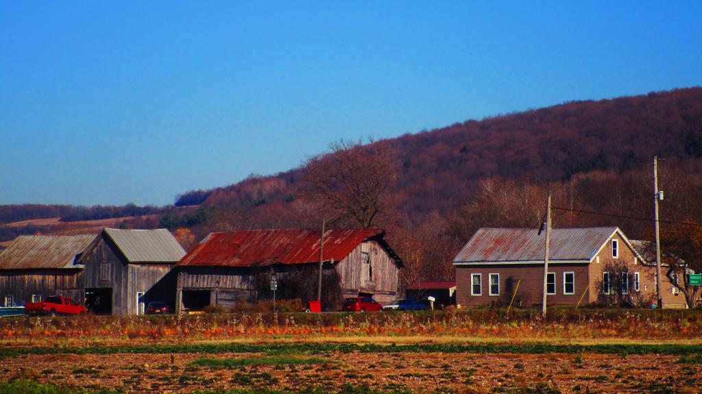
Photo: Farm Along NY 12B
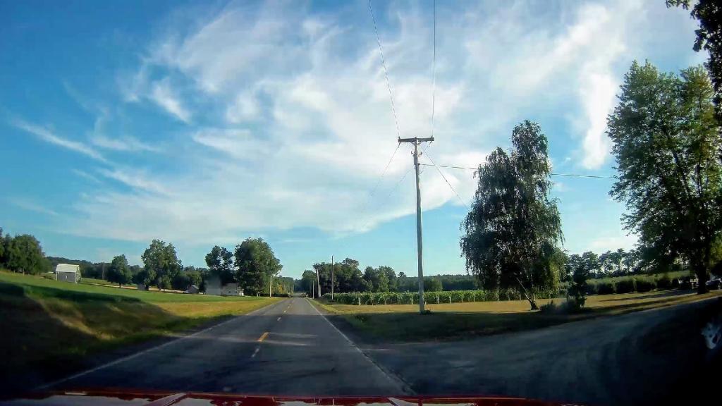
Photo: Wine Country 🍷
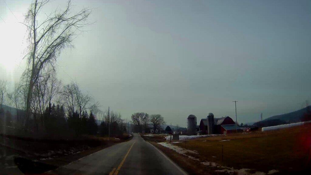
Photo: Farm On County Route 32
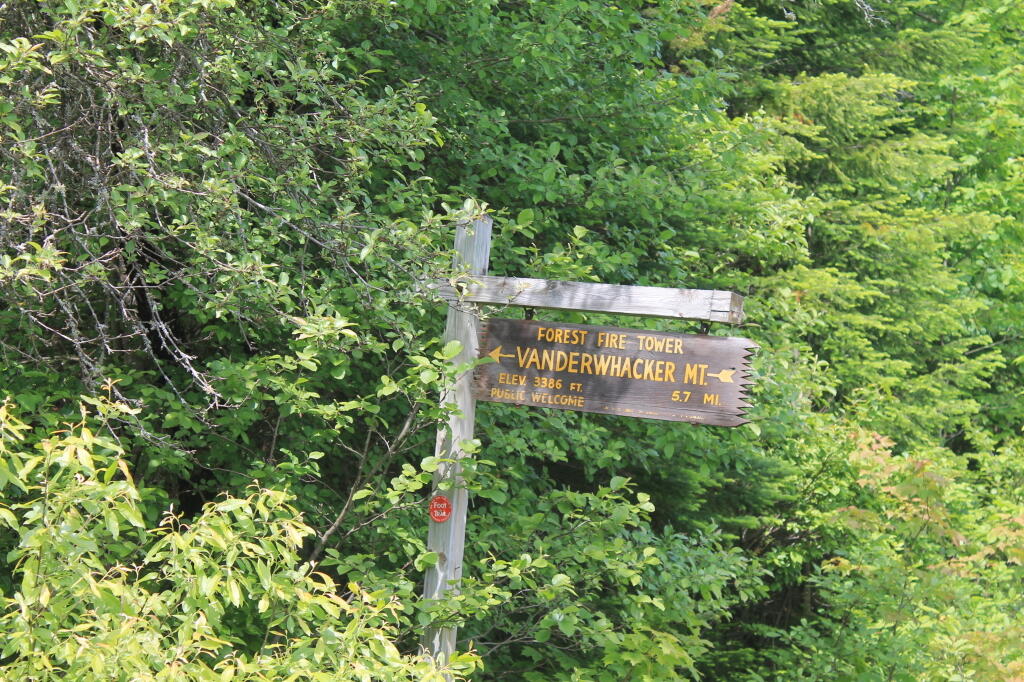
Photo: Firetower 5.7 mi away, if you walk
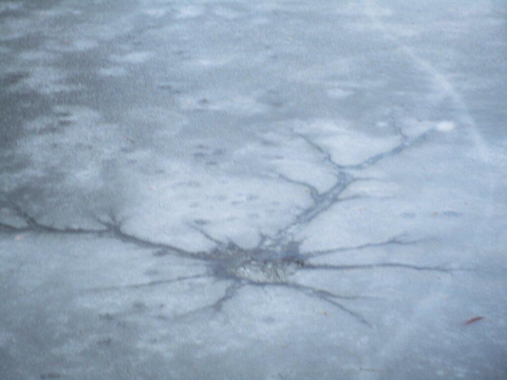
Photo: Crack
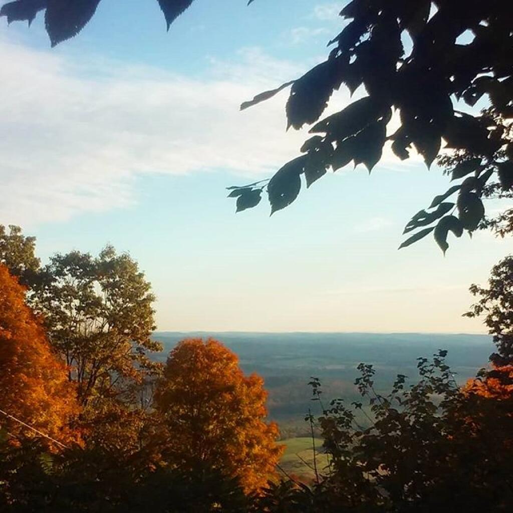
Photo: Northview
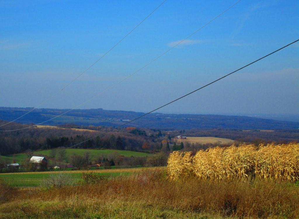
Photo: Low moisture corn 🌽 along Mile Strip Road
Photo: New Salem
Photo: Unburned Sections Look Fairly Typical

Leave a Reply

Your email address will not be published. Required fields are marked *