A week from now will be my first full day in the Finger Lakes 🏊
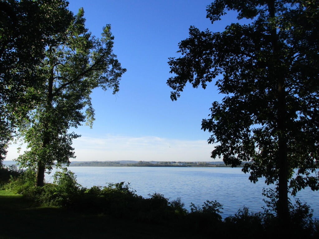
Probably spending it Watkins Glen doing all the usual favorites – swimming at Glen pool, riding the Cayuta Trail and around the village, Rock Cabin Road observing nature, sunset at Seneca Lake.
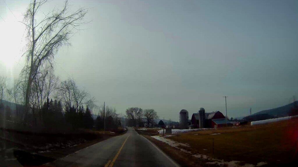
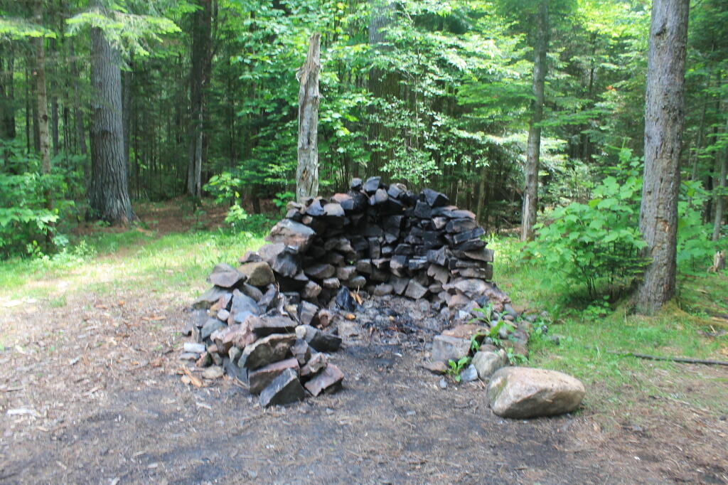
But in the meantime I’m spending this weekend camping at Cole Hill just for an overnight. 🏕 Just a quick hammock camp though I got here relatively early as come the end of milking and feeding 7:30, Preska the dairyman 🐮 and contractor for the landlord was installing siding and working inside the unit next door making a bunch of noise. It’s just creepy to have them next door 🚪 on the project that never seems to end. I knew they’d be there early today so I wanted to get away to the woods 🌲. Setting up camp at around 9 am this morning.
Figured hammock camp tonight 🎑 as it’s going to be a full moon and nice weather. I wasn’t up to do a full weekend camping as next week was summer vacation and the previous to was July 4th at Pisceo Powley and then the weekend in Schoharie. But it was too nice to stay home. Plus it was nice going to Waterford and Peebles Island last night. I put a new tube on the bike 🚲 – I’ll patch the old one and have that with me come summer vacation lest I get a flat. But usually it’s Erie Boulevard where I get flats.
Just taking it slow today. 😴 I’m fried after the week that was and I want to ease my way through the weekend before vacation 🏖. I am fairly ready for vacation at this point and the thing is unlike the Adirondacks, there is plenty of stores 🛒 like Walmart and Tractor Supply out there if I need anything. I did a fair amount of cleaning on Thursday and I’ll have all week to pack. That said, I’ll probably do some hiking at Cole Hill this afternoon and maybe a road ride in the afternoon depending on how hot it is. 😰 That said, laying in the hammock is good by me too.