Towards Greenland Gap 🖼️
Download a High Resolution JPEG Image of the Towards Greenland Gap or an Adobe Acrobat Printable PDF of the Towards Greenland Gap.
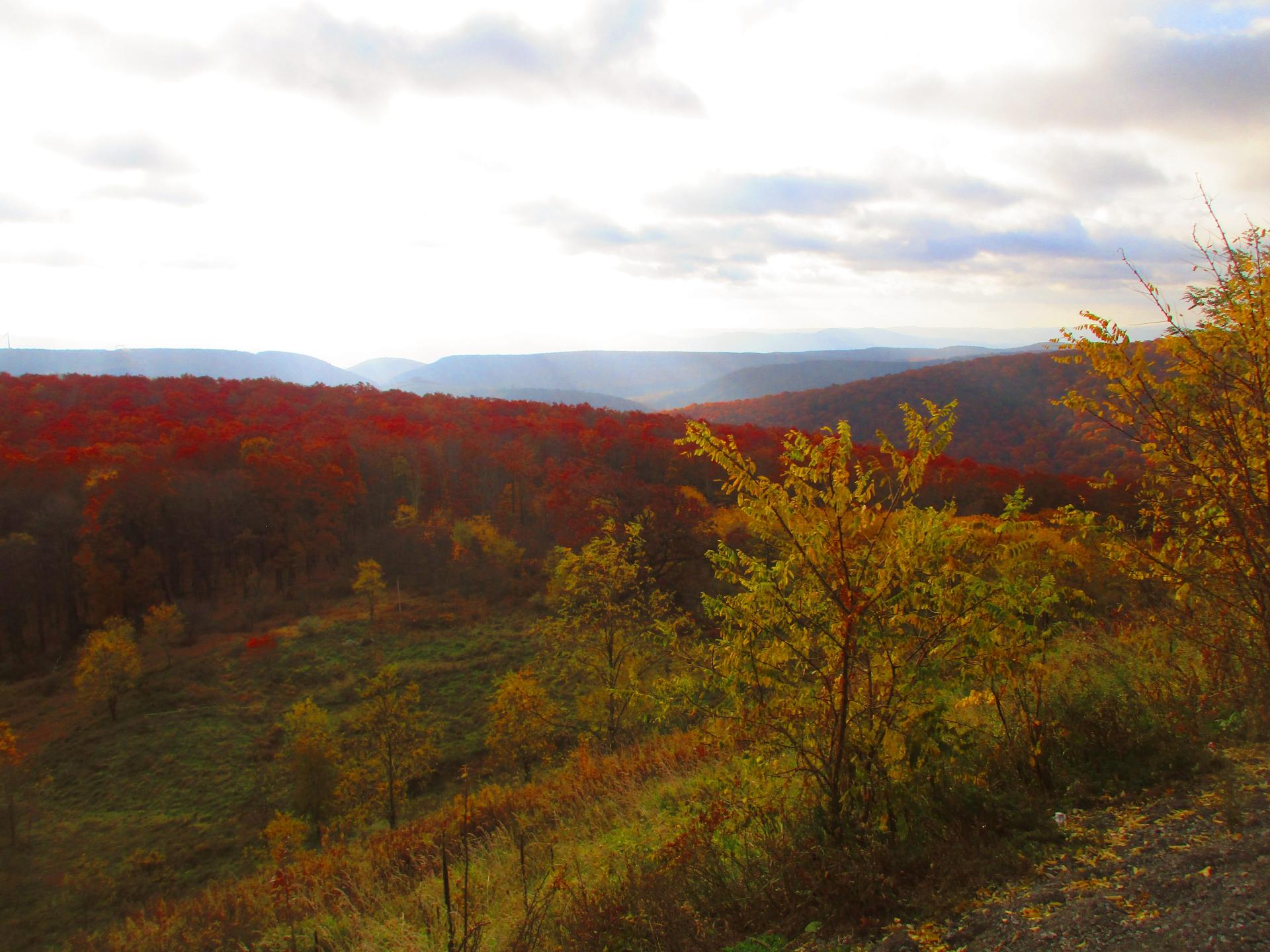
Towards Greenland Gap ...
To the east from the Mount Storm Scenic Overlook, you can see Greenland Gap of New Creek Mountain and Knobly Mountain.
Greenland Gap gets name from as there is band of rich agricultural land below those ridges, and it is very green with farm fields once you drop out of the mountains.
Taken on Saturday October 28, 2023 at Mount Storm.

More about Mount Storm...
Mount Storm is an unincorporated community in Grant County, West Virginia, United States. Mount Storm lies on the Northwestern Turnpike at its junction with West Virginia Route 42.
Mount Storm Lake – also known as New Stony River Reservoir – is a 1,200 acres (4.9 km2) reservoir created in 1965 on the Stony River in Grant County, West Virginia.
Mount Storm Lake serves as a cooling pond for the Dominion 1.6 gigawatt Mount Storm Power Station, which provides electricity to more than two million customers in Northern Virginia. The reservoir stands at an altitude of 3,244 feet (989 m).
https://en.wikipedia.org/wiki/Mount_Storm_Lake
https://en.wikipedia.org/wiki/Mount_Storm_Power_Station


