Foggy in the Deep Valleys  🗺️

Terrain Map: Otselic Valley

Helpful Hint: While I suggest you look on blog for a downloadable PDF Map, you should be able to print or save this map by clicking the print button on the map above.

Data Sources

Road Trip to Coal Country by Nate Matthews - You can download the KMZ File used in creation of this map.

GEOS East Color - Most recent GEOS imagetry NOAA.

3DEP Elevation Hillshade. LIDAR and legacy USGS DRG Topo Derived hillshades used as a background. DEM - WMS Service: https://elevation.nationalmap.gov/arcgis/services/3DEPElevation/ImageServer/WMSServer, Layer: 3DEPElevation:Hillshade Gray

Full List of WMS and ArcMap Services - CSV Spreadsheet with all web map services currently used on the blog.

More about Autumn...
SVGZ Graphic: August - October Normal High Temperature
SVGZ Graphic: Daily High Temperature Next 28 Days - August 19 [Expires September 2 2026]
SVGZ Graphic: daylight-increase
SVGZ Graphic: Mohawk Valley Population Density
SVGZ Graphic: November Daily Average High Temperature
SVGZ Graphic: When Columbus Day Falls in the 21st Century
SVGZ Graphic: When Labor Day Falls
SVGZ Graphic: When Thanksgiving Falls, 2000 to 2099
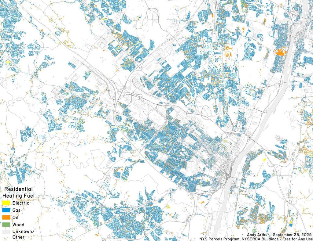
Thematic Map: heating fuel
Thematic Map: It's Beautiful Out Now in ... New York State
Photo: Happy Autumn Folks!
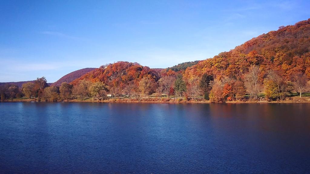
Photo: Susquehanna River in Lock Haven
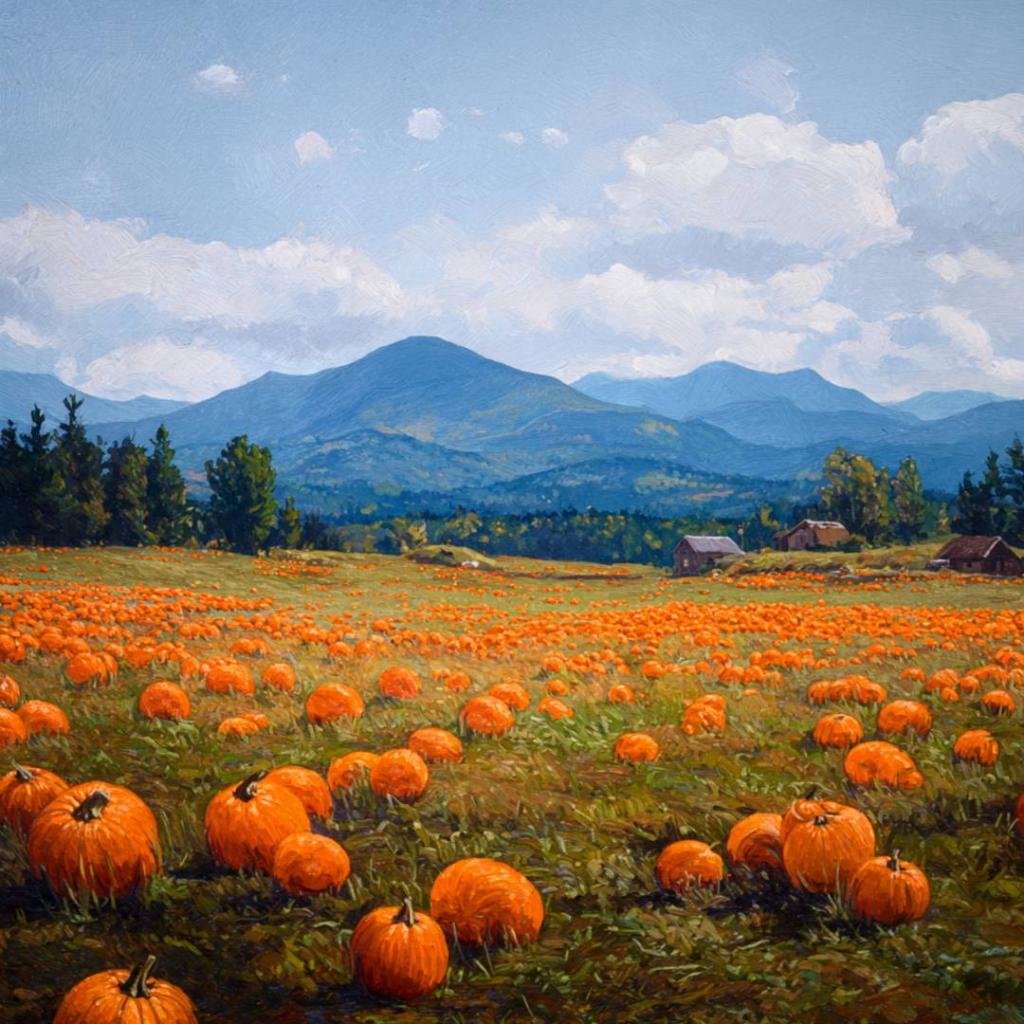
Photo: Pumpkin Field imagined by Meta AI in the style of Rockwell Kent
Photo: Happy Thanksgiving!

Leave a Reply

Your email address will not be published. Required fields are marked *