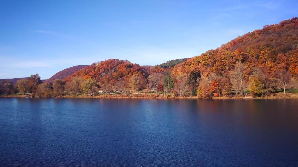
Buchannan State Forest Camping 🗺️
About Buchannan State Forest Camping ....
To request a camping permit, please fill out the Buchanan State Forest Camping Application Form (PDF).
For information about campsite availability in Buchanan State Forest, please contact the district office at 717-485-3148.
The Pennsylvania State Forest Online Campsite Map shows locations and additional details for designated campsites.
Office hours are Monday through Friday, 8:00 A.M. to 4:00 P.M. Calling is recommended for camping requests occurring between 12:00 P.M. and 4:00 P.M. on Fridays.
Camping permit requests submitted over the weekend or a federal holiday will not be processed until the next business day. There is no fee for a camping permit.

Helpful Hint: While I suggest you look on blog for a downloadable PDF Map, you should be able to print or save this map by clicking the print button on the map above.
Data Sources
Road Trip to Coal Country by Nate Matthews - You can download the KMZ File used in creation of this map.
OpenTopoMap - Open Topopgraphic Map based on Open Street Map. Contours are metric on this map. Map data: © OpenStreetMap, SRTM | Map style: © OpenTopoMap (CC-BY-SA). XYZ Tiles: https://{s}.tile.opentopomap.org/{z}/{x}/{y}.png
PA DCNR Motorized Campsite - PA DCNR. Download KMZ File / Download GeoJSON File
ArcMap FeatureService: https://maps.dcnr.pa.gov/agsprod/rest/services/BOF/Camping/MapServer/0
3DEP Elevation Hillshade. LIDAR and legacy USGS DRG Topo Derived hillshades used as a background. DEM - WMS Service: https://elevation.nationalmap.gov/arcgis/services/3DEPElevation/ImageServer/WMSServer, Layer: 3DEPElevation:Hillshade Gray
Full List of WMS and ArcMap Services - CSV Spreadsheet with all web map services currently used on the blog.
More about Pennsylvania...
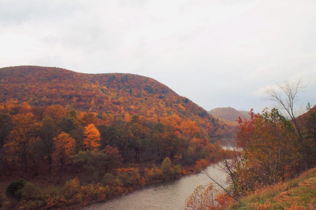
Pennsylvania, a diverse state in the northeastern United States, showcases a rich tapestry of landscapes, from the urban sprawl of Philadelphia to the scenic beauty of the Pocono Mountains and the rural charm of Amish country. This webpage zeroes in on free camping opportunities on both state and federal lands, including the renowned Allegheny National Forest. Alongside the allure of camping, Pennsylvania beckons outdoor enthusiasts with a plethora of activities. Hiking trails weave through lush woodlands, while biking routes traverse picturesque terrains. The state's waterways offer kayaking and boating adventures, from serene lakes to rushing rivers. With its blend of natural wonders and recreational possibilities, Pennsylvania entices adventurers to explore its diverse terrain, enjoy free camping, and engage in an array of outdoor activities within its breathtaking landscapes.