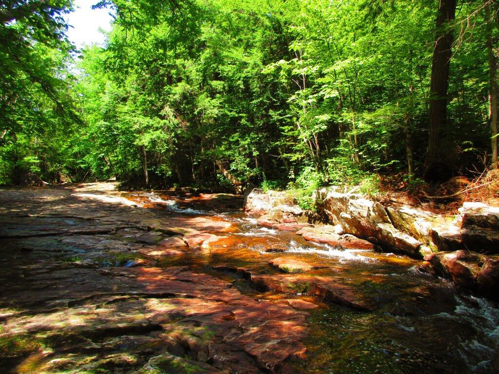
Coeymans Hollow

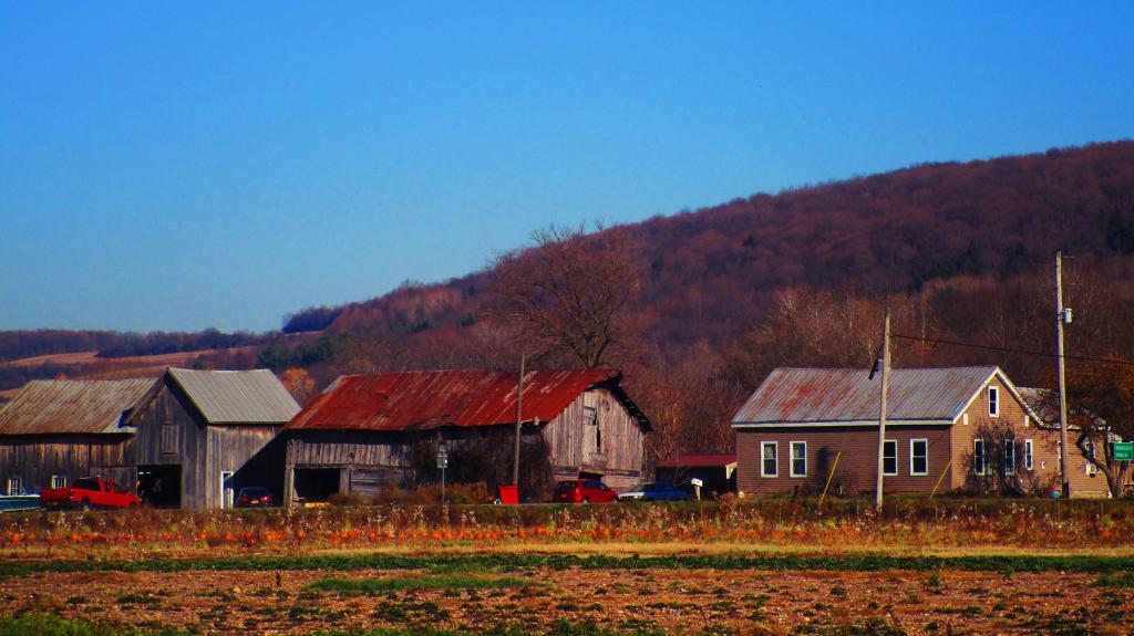
Driving through Coeymans Hollow earlier today reminded me of the deep hollows I have driven through in West Virginia and Pennsylvania. The small, rural hamlets off the beaten track, the wood smoke, the cows in the muddy and rocky pasture.

Not sure if I’d ever want to live in a hollows with the flood risk, the nuisance of smoke and odors, the noise of passing cars bouncing off hollow walls, the nearby neighbors. But it’s beautiful to be surrounded by mountains and the long shadows that dominate life most of the days in the hollows, especially during the winter.

Map: Alma Pond
Map: Dobbins Memorial State Forest
Map: Little John Wildlife Management Area
Map: Otter Lake
Map: South Hill State Forest (Oneida 23)
Map: Summer Hill State Forest
Map: West Parishville State Forest
SVGZ Graphic: albany-snow-depth
SVGZ Graphic: college-rate
SVGZ Graphic: december-holidays
SVGZ Graphic: ht2025
SVGZ Graphic: lt2025
SVGZ Graphic: Places Named Bethlehem
SVGZ Graphic: Towns with Most Similiar Land Cover to the Town of Bethlehem
Terrain Map: Happy World Milk Day!
Photo: Misty Afternoon
Photo: Made it to the top
Photo: Summer Stream
Photo: Camp Santanoni Gate Lodge Welcome Sign
Photo: Toes
Photo: With the rumbles of thunder and the radar I decided to turn back
Photo: Green
Photo: Bear Rocks View
Photo: Bully Hill Road
Photo: Kenka Mills Ruins

Leave a Reply

Your email address will not be published. Required fields are marked *