Evening walk

I went for my evening walk a bit earlier tonight then normal but even by then the wind was a roaring. Pretty darn frigid. Wore the face mask. But its done now. Wind is really roaring around this evening.

Map: Alma Pond
Map: Dobbins Memorial State Forest
Map: Little John Wildlife Management Area
Map: Otter Lake
Map: South Hill State Forest (Oneida 23)
Map: Summer Hill State Forest
Map: West Parishville State Forest
SVGZ Graphic: albany-snow-depth
SVGZ Graphic: college-rate
SVGZ Graphic: december-holidays
SVGZ Graphic: ht2025
SVGZ Graphic: lt2025
SVGZ Graphic: Places Named Bethlehem
SVGZ Graphic: Towns with Most Similiar Land Cover to the Town of Bethlehem
Terrain Map: Happy World Milk Day!
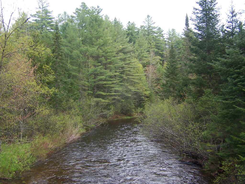
Photo: Vanderwhacker Brook
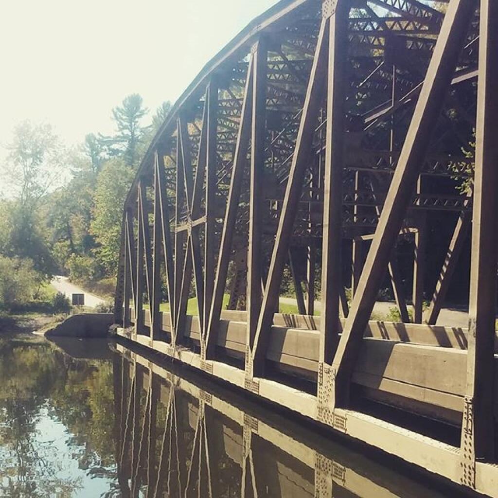
Photo: Nebraska Bridge is not underwater
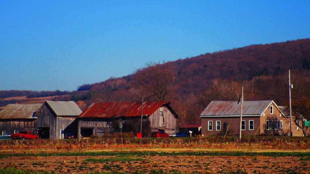
Photo: Farm Along NY 12B
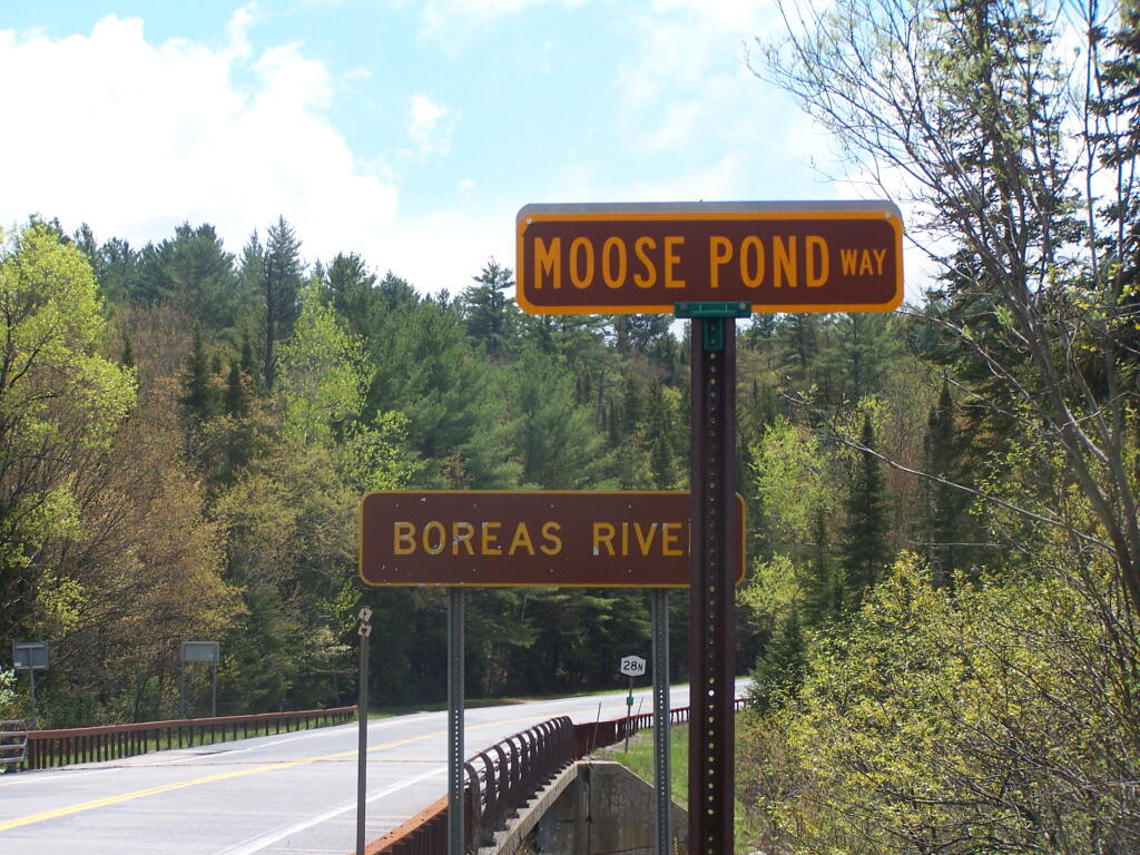
Photo: Moose Pond Way
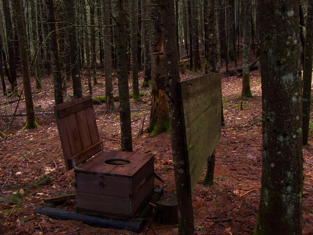
Photo: Open Outhouse at Boreas Brook Campsite
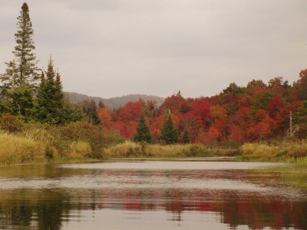
Photo: Quiet Waters
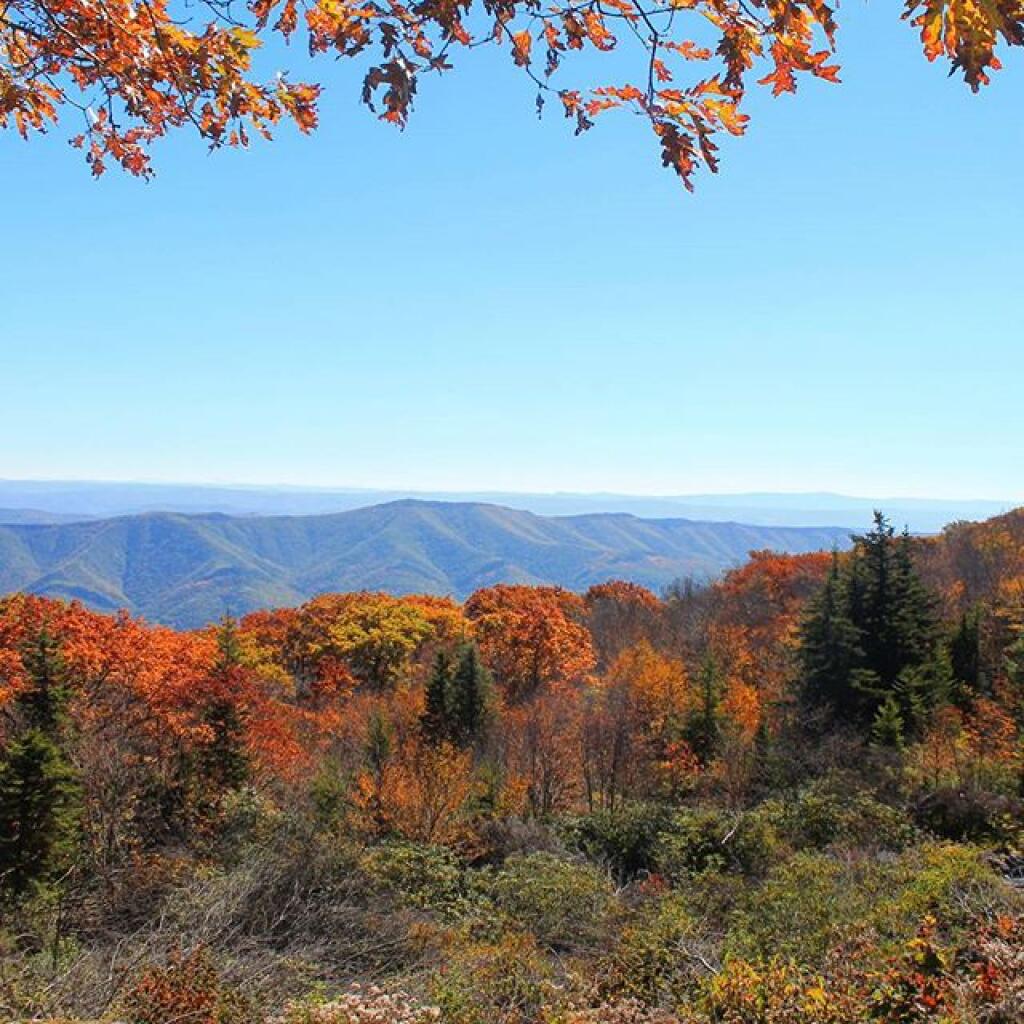
Photo: Fall at Dolly Sods
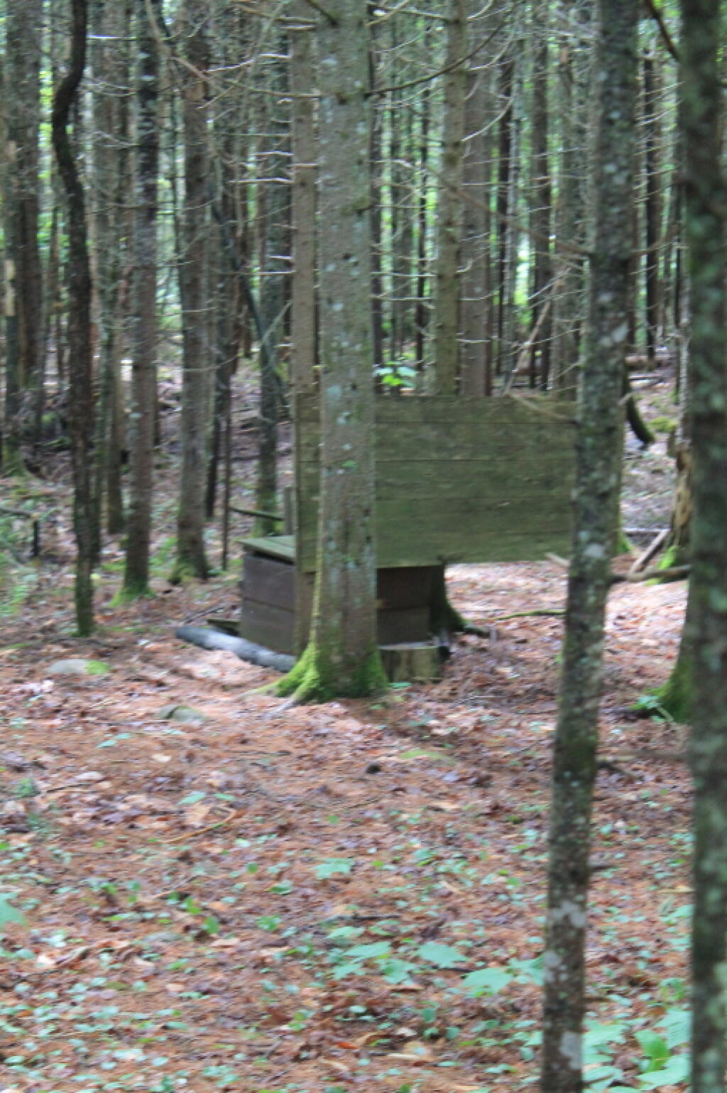
Photo: Outhouse
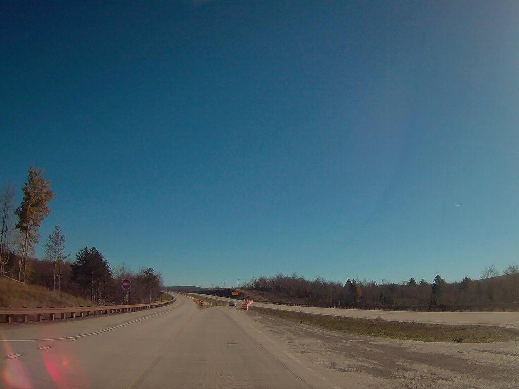
Photo: Where Corridor H Ends Outside Of Davis WV
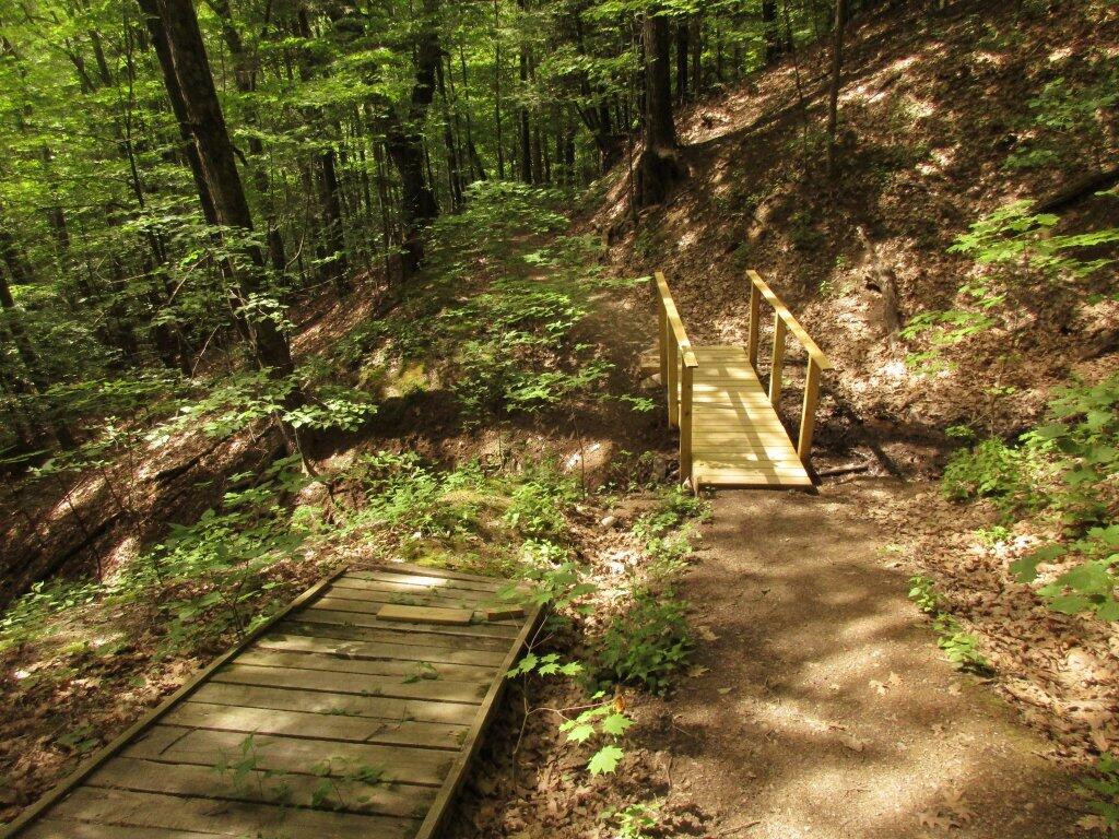
Photo: Replacement Bridge

Leave a Reply

Your email address will not be published. Required fields are marked *