Port of Albany and Rensselear 🗺️
About Port of Albany and Rensselear ....
The Port of Albany–Rensselaer, widely known as the Port of Albany, is a port of entry in the United States with facilities on both sides of the Hudson River in Albany and Rensselaer, New York. Private and public port facilities have existed in both cities since the 17th century, with an increase in shipping after the Albany Basin and Erie Canal were built with public funds in 1825.
The port's modern name did not come into widespread use until 1925; the current port was constructed in 1932 under the governorship of Franklin D. Roosevelt during the Great Depression. It included the largest grain elevator in the world at the time. Today the grain elevator is the largest in the United States east of the Mississippi River; the port has the tallest harbor crane in the state of New York.
The port has rail connections with the Albany Port Railroad, which allows for connections with CSXT and CP Rail. It is near several interstates and the New York State Canal System. The port features several tourist attractions as well, such as USS Slater, the only destroyer escort still afloat in the United States.
https://en.wikipedia.org/wiki/Port_of_Albany%E2%80%93Rensselaer

Helpful Hint: While I suggest you look on blog for a downloadable PDF Map, you should be able to print or save this map by clicking the print button on the map above.
Data Sources
Road Trip to Coal Country by Nate Matthews - You can download the KMZ File used in creation of this map.
NY Aerial (2020) - High-resolution aerial photography from NYSGIS, photos taken with leaves off in spring time between the years 2016-2020. NYSGIS. WMS Service: https://orthos.its.ny.gov/ArcGIS/services/wms/Latest/MapServer/WMSServer, Layer: 0,1,2,3
3DEP Elevation Hillshade. LIDAR and legacy USGS DRG Topo Derived hillshades used as a background. DEM - WMS Service: https://elevation.nationalmap.gov/arcgis/services/3DEPElevation/ImageServer/WMSServer, Layer: 3DEPElevation:Hillshade Gray
Full List of WMS and ArcMap Services - CSV Spreadsheet with all web map services currently used on the blog.
More about Albany, NY...
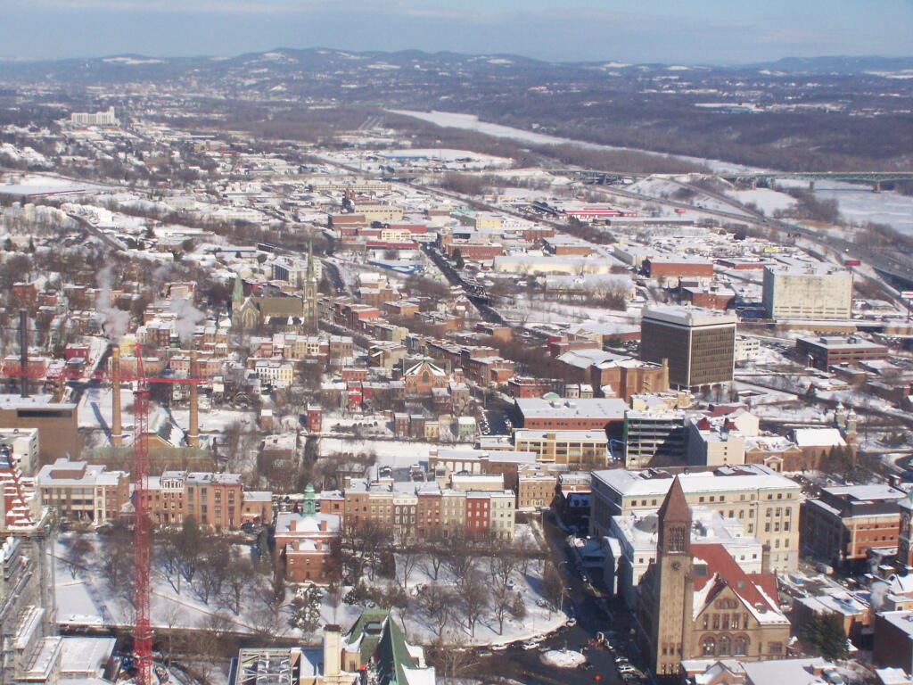
Albany is the capital city of the U.S. state of New York, the seat of Albany County, and the central city of New York's Capital District. Roughly 135 miles (217 km) north of the City of New York, Albany sits on the west bank of the Hudson River, about 10 miles (16 km) south of its confluence with the Mohawk River. The population of the city was 97,856 at the time of the 2010 census.
http://en.wikipedia.org/wiki/Albany,_New_York