Binghamton – Land Use 🗺️
About Binghamton - Land Use ....
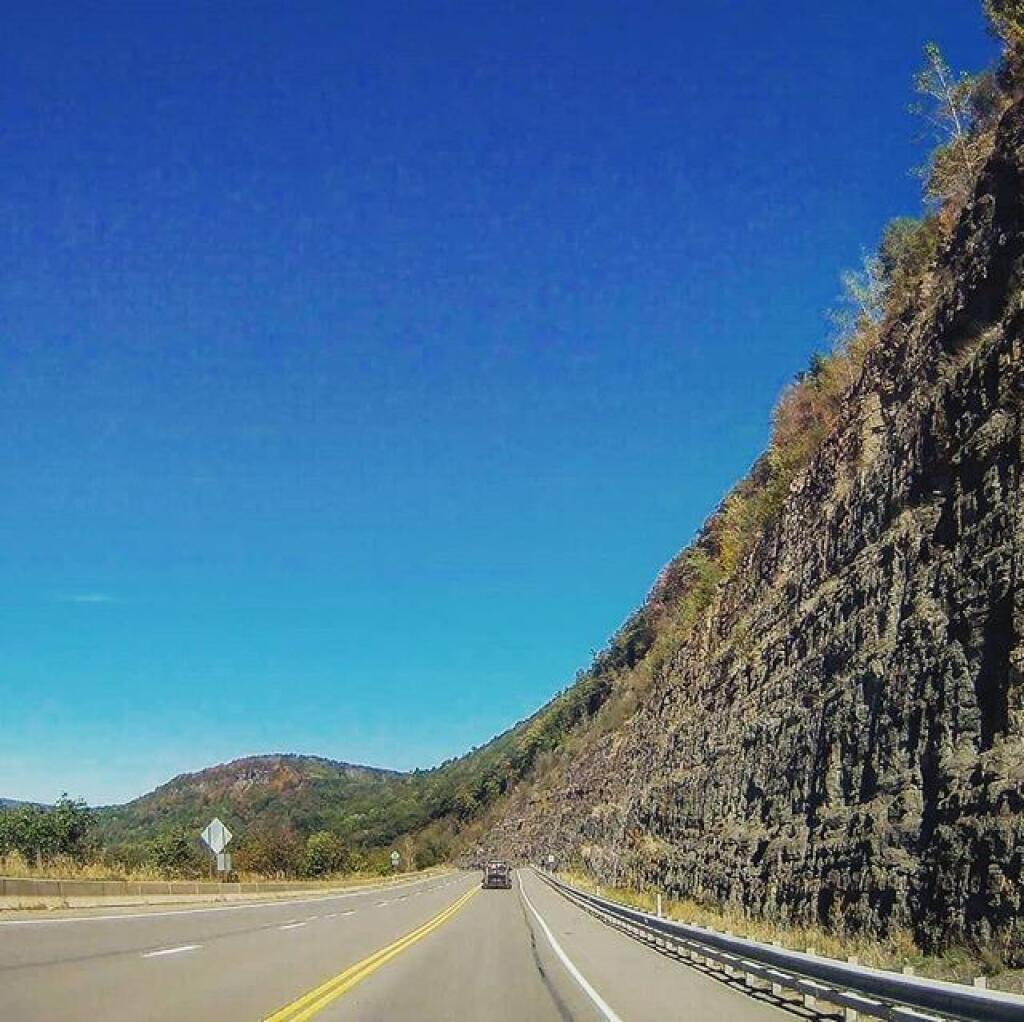
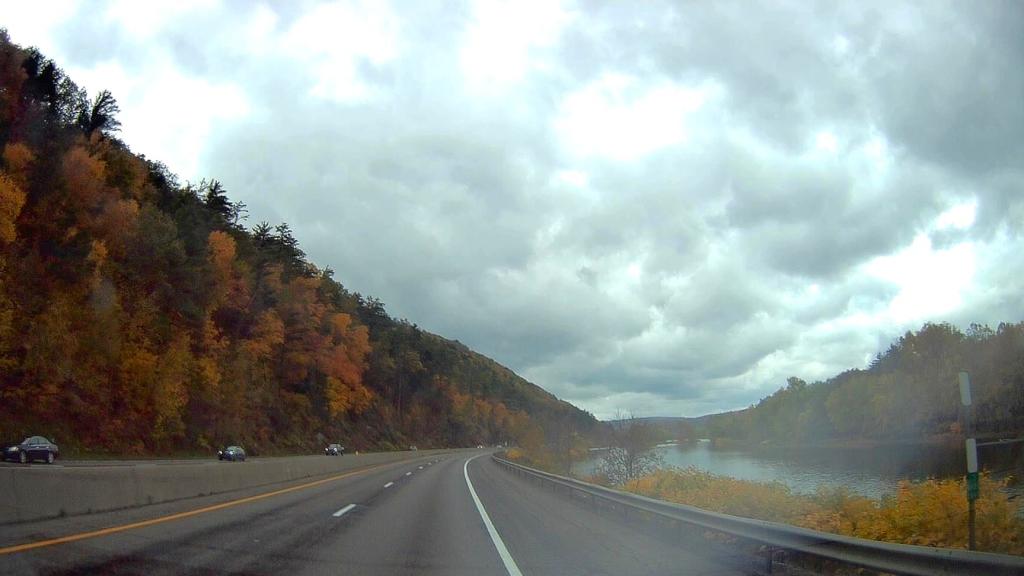
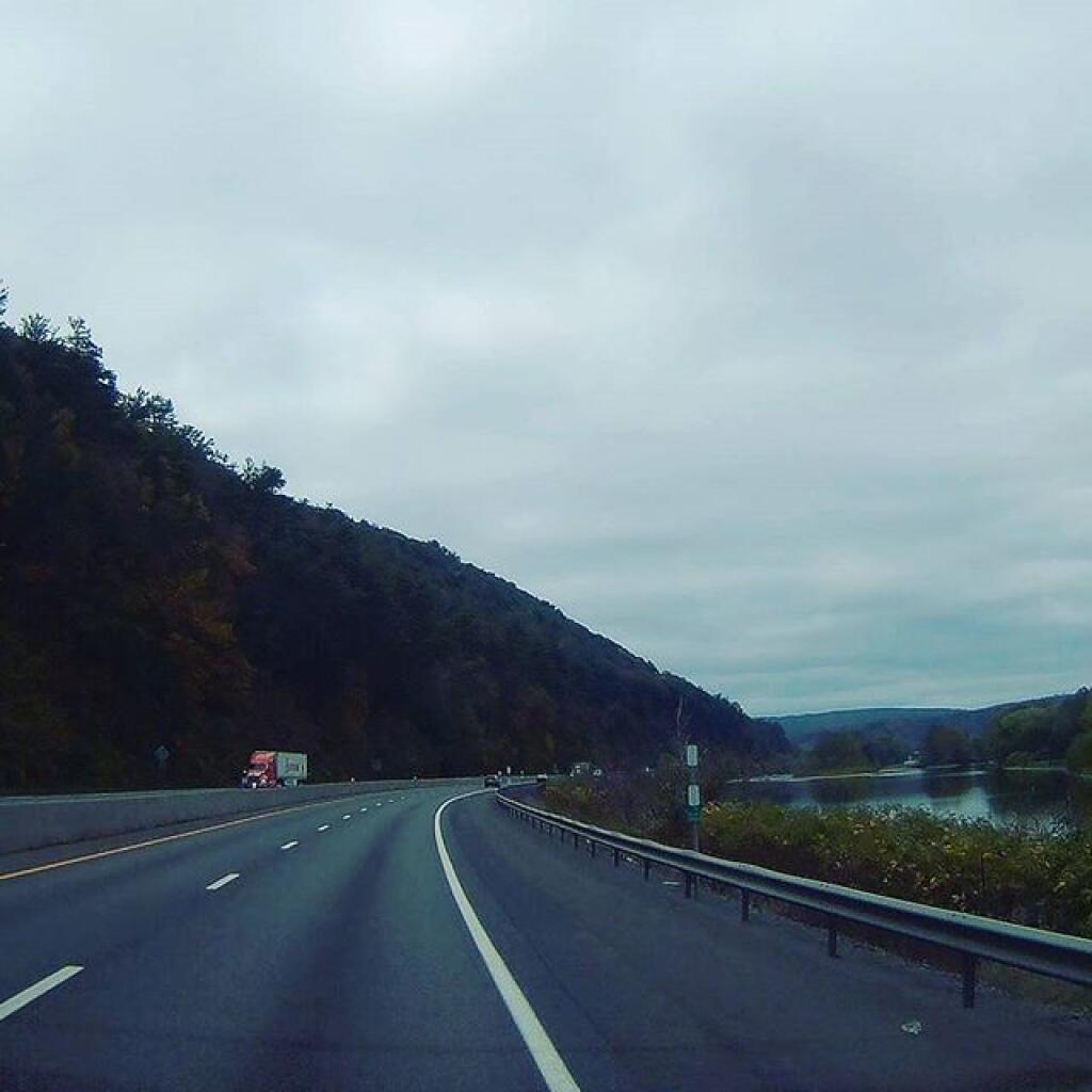
While there is some agriculture around Binghamton, it's mostly pasture and hay except when you get into the fertile soils along the Susquehanna River around Windsor. Many of the hills are quite forested, with deciduous trees dominating the landscape.

Helpful Hint: While I suggest you look on blog for a downloadable PDF Map, you should be able to print or save this map by clicking the print button on the map above.
Data Sources
Road Trip to Coal Country by Nate Matthews - You can download the KMZ File used in creation of this map.
OpenStreetMap - Map data: © OpenStreetMap, SRTM | Map style: © OpenTopoMap (CC-BY-SA). XYZ Tiles: https://{s}.tile.openstreetmap.org/{z}/{x}/{y}.png
National Land Cover Dataset 2016 - Multi-resolution Land Characteristics Consortium. WMS Service: https://www.mrlc.gov/geoserver/ows?SERVICE=WMS, Layer: NLCD_2016_Land_Cover_L48
3DEP Elevation Hillshade. LIDAR and legacy USGS DRG Topo Derived hillshades used as a background. DEM - WMS Service: https://elevation.nationalmap.gov/arcgis/services/3DEPElevation/ImageServer/WMSServer, Layer: 3DEPElevation:Hillshade Gray
Full List of WMS and ArcMap Services - CSV Spreadsheet with all web map services currently used on the blog.
More about Binghamton, New York...
Binghamton is a city in New York State. The long-running Binghamton Zoo at Ross Park is home to monkeys, birds of prey and endangered big cats. Nearby, the Discovery Center of the Southern Tier offers hands-on exhibits and play areas for children. Several green spaces, including Recreation Park, feature wood-carved, 1920s carousels. The Phelps Mansion Museum was the elaborate Gilded Age home of a local banker.