Dark now

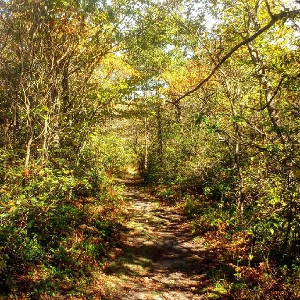
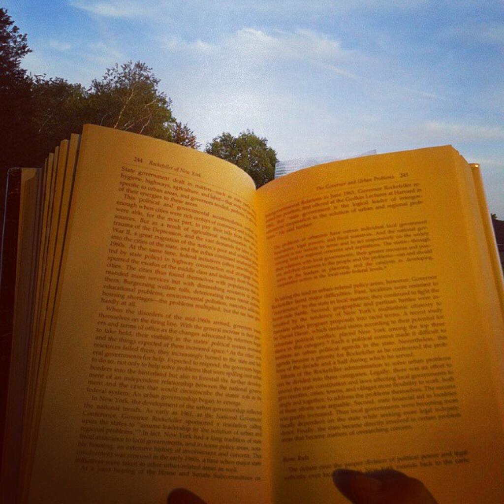
Amazing how quickly it gets dark now that November is around the corner.

Map: Alma Pond
Map: Dobbins Memorial State Forest
Map: Little John Wildlife Management Area
Map: Otter Lake
Map: South Hill State Forest (Oneida 23)
Map: Summer Hill State Forest
Map: West Parishville State Forest
SVGZ Graphic: albany-snow-depth
SVGZ Graphic: college-rate
SVGZ Graphic: december-holidays
SVGZ Graphic: ht2025
SVGZ Graphic: lt2025
SVGZ Graphic: Places Named Bethlehem
SVGZ Graphic: Towns with Most Similiar Land Cover to the Town of Bethlehem
Terrain Map: Happy World Milk Day!
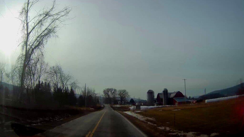
Photo: Farm Country
Photo: Western Slope
Photo: Can see some blue sky through the clouds
Photo: Hammock View!  - Wide Screen
Photo: Scenic Otter Creek Road
Photo: Still pretty green here
Photo: Rangers Cabin
Photo: Sun
Photo: West To Cannaan Ridge
Photo: Out On Moss Lake

Leave a Reply

Your email address will not be published. Required fields are marked *