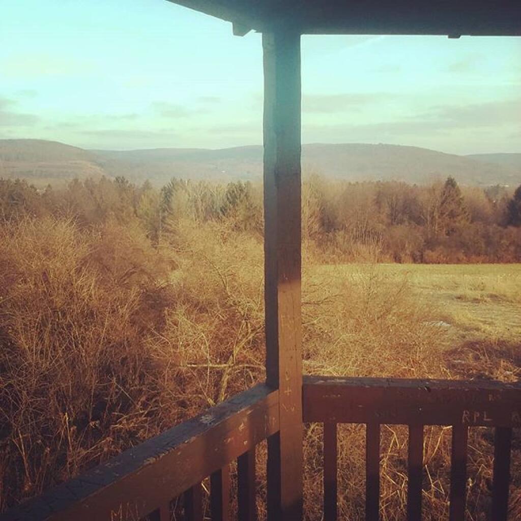
Made it back to camp safely.

Made it back to camp safely. Did not get attacked by any rabid cows or hit by any drunk drivers or any of the other things you see on your fancy color television. It actually was a very quiet walk back to camp and I only had to turn on the flashlight briefly. 🔦

Map: Alma Pond
Map: Dobbins Memorial State Forest
Map: Little John Wildlife Management Area
Map: Otter Lake
Map: South Hill State Forest (Oneida 23)
Map: Summer Hill State Forest
SVGZ Graphic: albany-snow-depth
SVGZ Graphic: college-rate
SVGZ Graphic: december-holidays
SVGZ Graphic: ht2025
SVGZ Graphic: lt2025
SVGZ Graphic: Places Named Bethlehem
SVGZ Graphic: Towns with Most Similiar Land Cover to the Town of Bethlehem
Terrain Map: Happy World Milk Day!
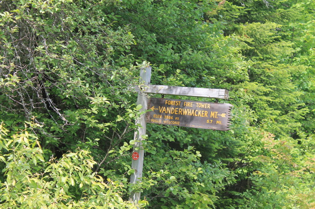
Photo: Firetower 5.7 mi away, if you walk
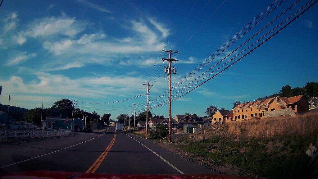
Photo: New Development
Photo: Main Street
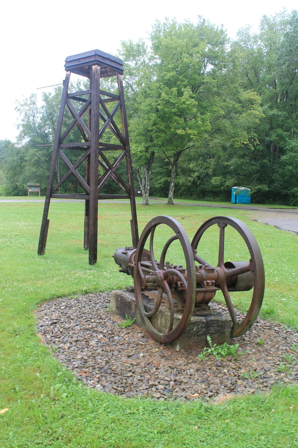
Photo: Mock Rig and Pump at Entrance to Drake Well Historic Site
Photo: Vlomans Kill this afternoon
Photo: Further Up Cole Hill
Photo: Fountain
Photo: Breakfast
Photo: Farm tower view
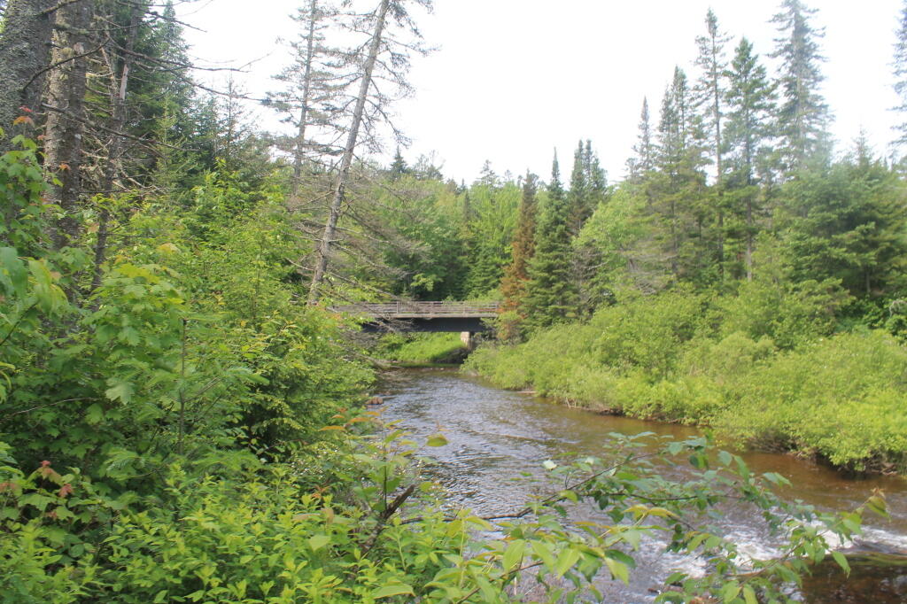
Photo: NY 28 / Boreas River Bridge

Leave a Reply

Your email address will not be published. Required fields are marked *