
Evening 🖼️

Download a High Resolution JPEG Image of the Evening or an Adobe Acrobat Printable PDF of the Evening.
Evening ...
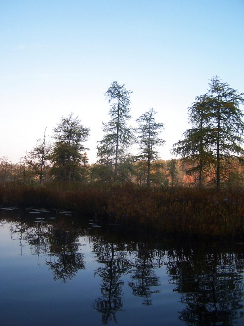
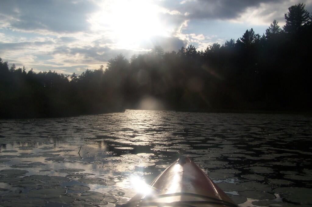
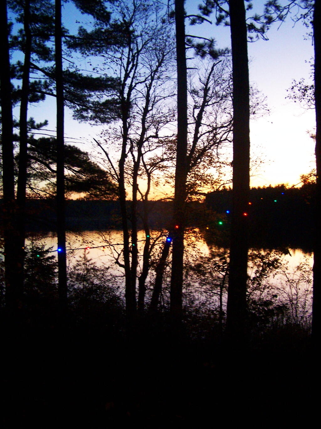
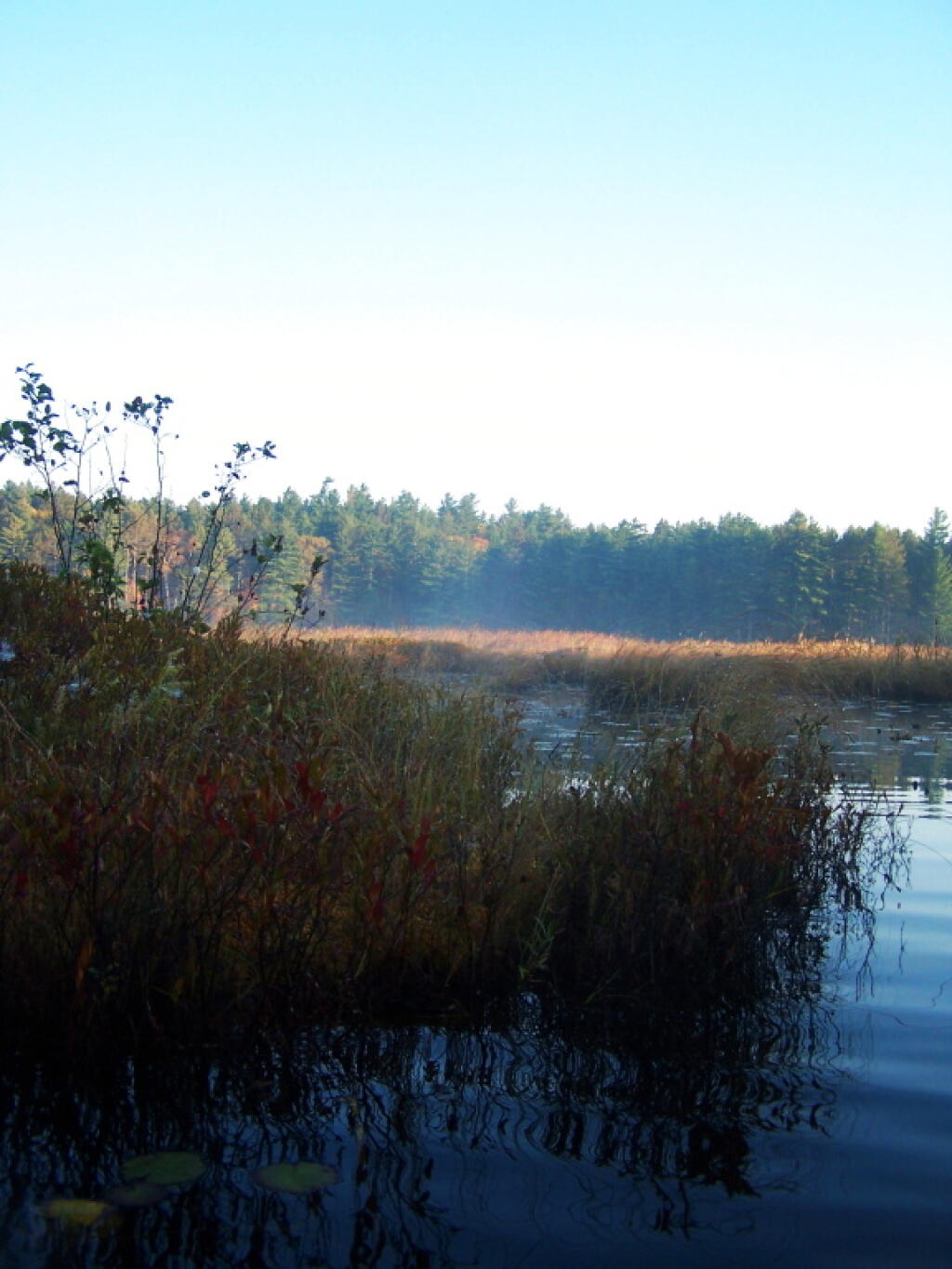
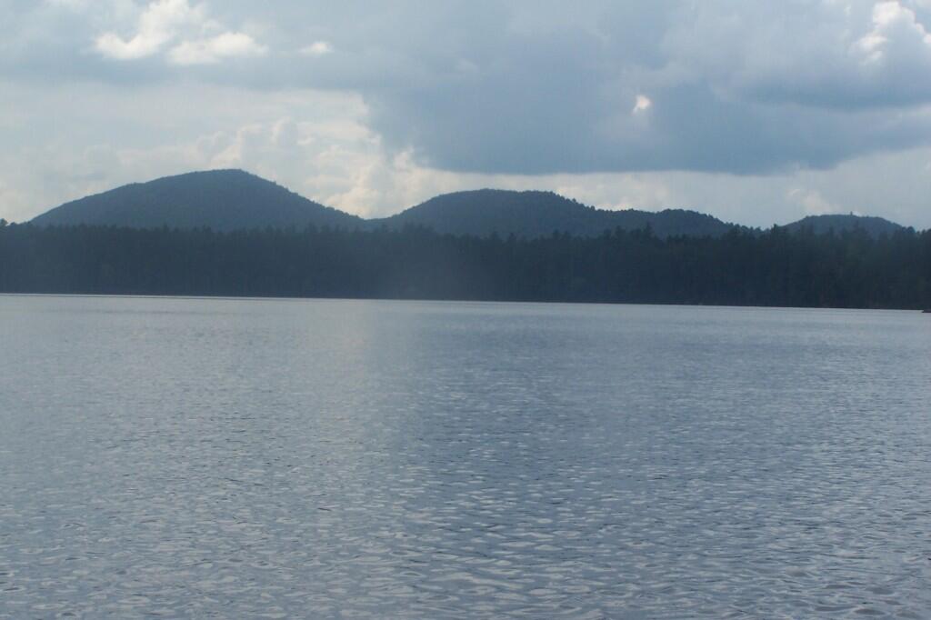
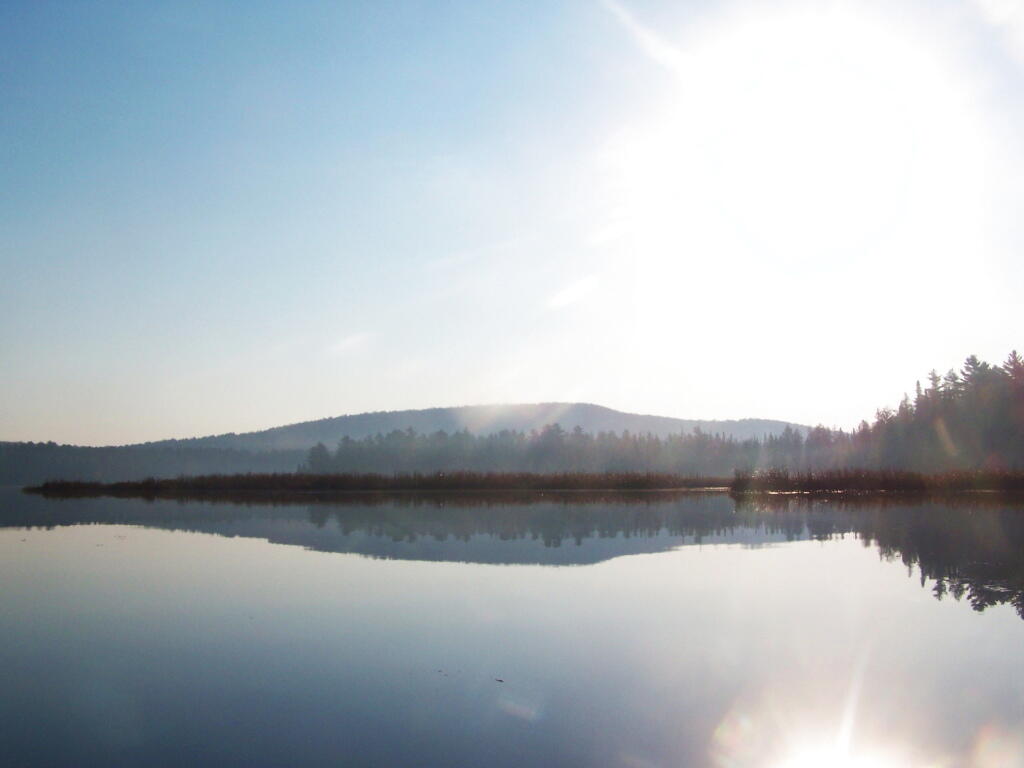
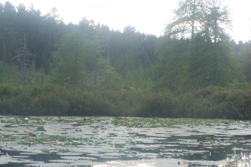
It definately was a pretty evening on Friday night paddling out on the lake.
Taken on Friday June 26, 2020 at Jones Pond.

More about Jones Pond...
Jones Pond is home to 8 tent and drive-into sites, situated under pine trees. Many of the sites have great views through the trees of Saint Regis Mountain to the west.




No Comments
Andy, thanks for all the great info. Your maps and site material have been tremendously helpful to my backcountry explorations. Looking for a little info on the Siamese ponds. Is it reasonable to bring a canoe on a dolley or is the beginning section too steep? Also, if to steep, do you know if there are canoes stashed up there. Any info would be appreciated.
I haven’t hiked all the way back to Siamese Ponds, though the first part of the trail is old woods road that is eroded enough that dollies might be a challenge to roll over it. I don’t think any section of it is too steep, it’s more an issue of the rough surface. Not sure how wide the trail is back there past the old road section.