More thoughts about summer vacation on Piseco Powley Road ⛺
More thoughts about summer vacation on Piseco Powley Road ⛺
I really like the idea of setting up a camp for a week and staying there all week as a base camp so I have less gear to take down and set back up again. I also like the idea of camping somewhere I can stay parked and use the solar to keep the batteries topped off.
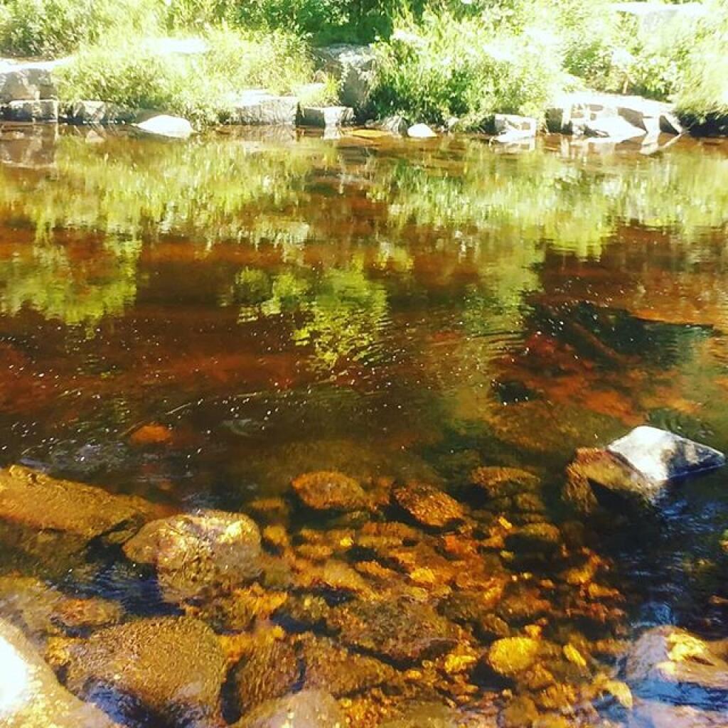
I think the House Pond campsite on Piseco Powley Road would fit that bill well. There is that nice swimming hole across the road so no need to drive anywhere on a sultry mid summer afternoon. Probably do some fishing too. Of course getting that site might be easier said than done. I could head up there on a Thursday stay for nine or ten nights.
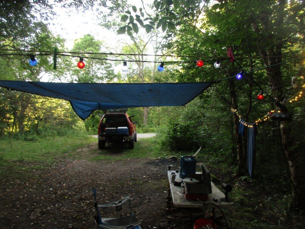
That site also has an outhouse, good places to hang a hammock and in and it would be large enough to put up my screen house. The site also has good sun exposure in the morning which is important for topping off the batteries and is close enough to asphalt roads so day trips down to Little Falls and Dolgeville will be quite possible.
![Untitled [Expires June 27 2026]](https://andyarthur.org//data/photo_024365_large.jpg)
I would have to get a camping permit and who knows if they’ll be issuing them come the summer. My general feeling is things will start to calm down and get back to normal by then – but who knows this whole Coronavirus thing has been going on a lot longer than I had originally expected.
Alternatively, I guess my summer vacation could be more of a traveling experience – stay at no campsite more than three nights. I’ve done that plenty before but I do get tired of having to constantly take down and set back up camp.


")


