Erosion 🖼️
Download a JPEG Image of the Erosion.
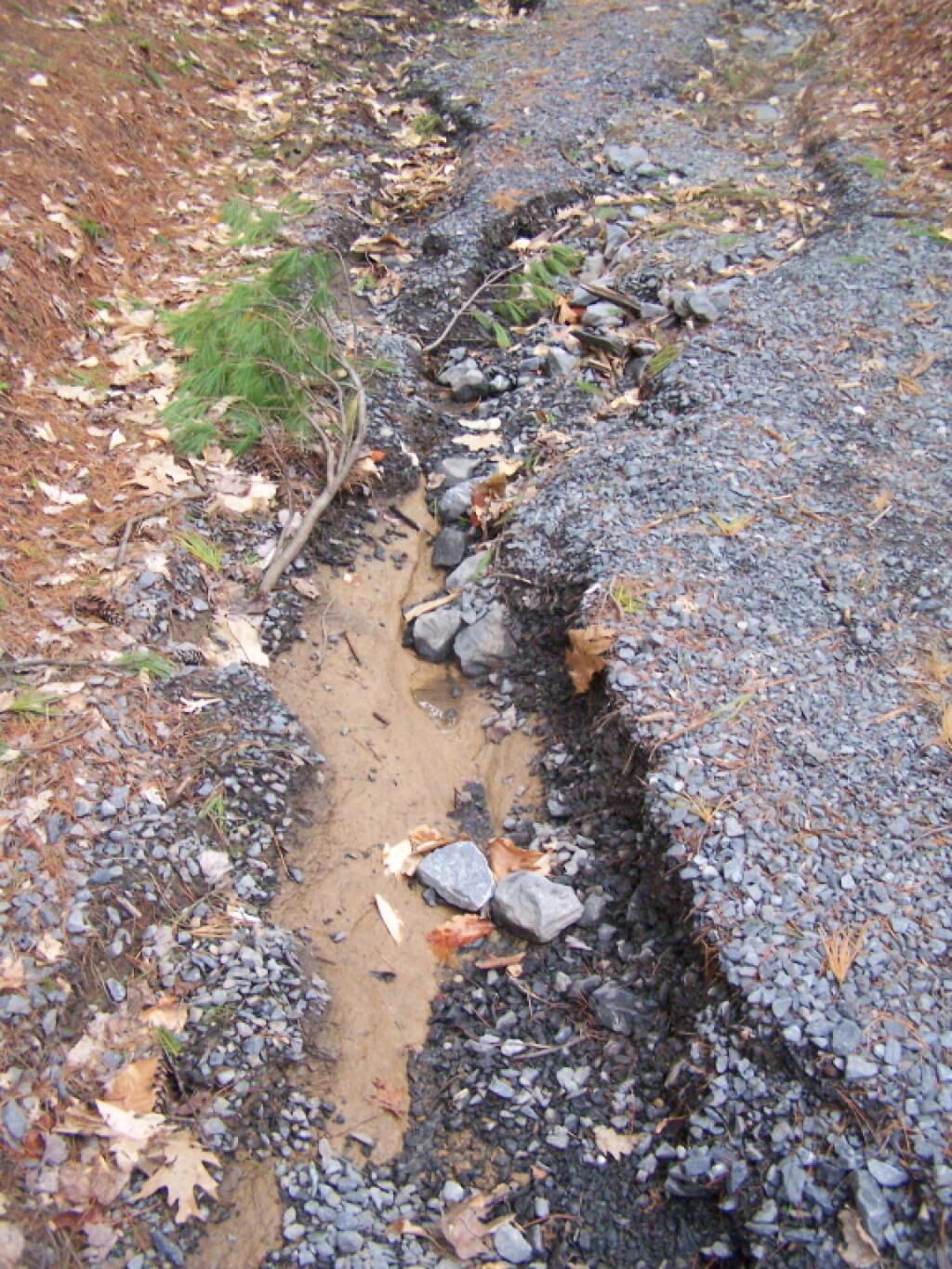
Erosion ...
Along the Fitness Trail at the Town Park, on a steeper slope. After the past couple of days of rain, probably there is far more erosion.
Taken on Sunday April 24, 2011 at Delmar, New York.

More about Delmar, New York...
Delmar is a hamlet in the Town of Bethlehem, in Albany County, New York, United States. It is a suburb of the neighboring city of Albany. The community is bisected by NY Route 443 (Delaware Avenue), a major thoroughfare, main street, and route to Albany.
A census-designated place (CDP) has been established since 1980 by the U.S. Census Bureau for tabulating the population of what the census has defined as the boundaries of the urbanized area in and around Delmar. The population was 8,292 at the 2000 census, but it was not included as a CDP in the 2010 census.
In 2005, CNN/Money Magazine named the Delmar ZIP Code (an area larger than the Delmar hamlet or CDP) as one of the "Best Places to Live" in America, rating it the 22nd best place to live among what it called "Great American Towns.
http://en.wikipedia.org/wiki/Delmar,_New_York