Mountain Laurel 🖼️
Download a High Resolution JPEG Image of the Mountain Laurel or an Adobe Acrobat Printable PDF of the Mountain Laurel.
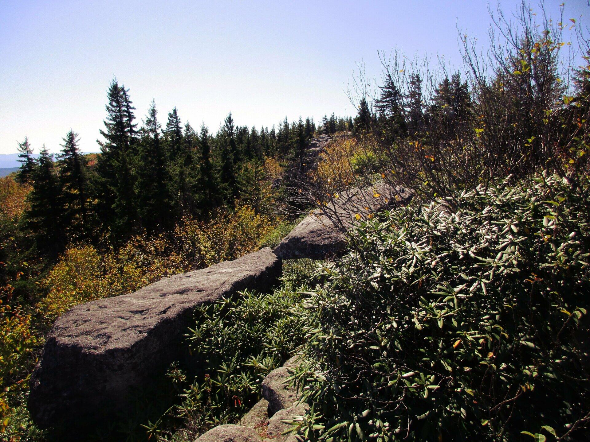
Mountain Laurel ...
With the high winds and dry conditions, Mountain Laurel isn't as common up at Dolly Sods as it is in Canaan Heights and other locations. But you can find it in more protected parts of Dolly Sods, like on this location on the Western side of the Allegheny Front.
Taken on Friday October 11, 2019 at Dolly Sods Wilderness.

More about Dolly Sods Wilderness...
The 17,371 acre Dolly Sods Wilderness in the Monongahela National Forest is part of the National Wilderness Preservation System. It is located in Grant, Randolph, and Tucker Counties, West Virginia. The Dolly Sods Wilderness contains much of the Red Creek drainage and contains bog and heath eco-types, more commonly typical to southern Canada. Elevations range from 2,500 to over 4,700 feet. https://www.fs.usda.gov/recarea/mnf/recarea/?recid=12366


